Feeling uncertain about what to expect in your upcoming interview? We’ve got you covered! This blog highlights the most important Seamanship skills interview questions and provides actionable advice to help you stand out as the ideal candidate. Let’s pave the way for your success.
Questions Asked in Seamanship skills Interview
Q 1. Describe your experience with different types of knots and their applications.
Knot tying is fundamental to seamanship. Knowing various knots and their applications is crucial for safety and efficiency. My experience encompasses a wide range, from simple knots like the bowline (for making a fixed loop) and clove hitch (for securing a rope to a post) to more complex ones like the figure-eight follow-through (used for securing a climbing rope) and the bowline on a bight (creating two loops from a single rope).
- Bowline: A crucial knot for creating a reliable loop that won’t slip. I’ve used this countless times for securing mooring lines and attaching equipment.
- Clove Hitch: Quick and easy to tie, ideal for temporarily securing lines to cleats or bollards. I’ve relied on this for quick adjustments during docking maneuvers.
- Sheet Bend: Used to join two ropes of different diameters, incredibly useful when dealing with varied lines onboard.
- Reef Knot: While simple, it’s crucial to tie it correctly; an improperly tied reef knot can easily come undone. I’ve used this for securing sails.
The choice of knot depends on the specific task and load-bearing requirements. Understanding the strengths and weaknesses of each knot is critical to ensuring its proper application and avoiding potential hazards.
Q 2. Explain the process of taking a bearing using a compass.
Taking a bearing with a magnetic compass involves aligning the compass with the object whose bearing you want to determine and reading the value indicated on the compass card. It’s a fundamental navigational skill.
- Level the Compass: Ensure the compass is level and free from any interference.
- Sight the Object: Aim the lubber’s line (the line on the compass that indicates the direction the compass is pointing) at the object whose bearing you need (e.g., a lighthouse, another vessel).
- Read the Bearing: Note the degree reading on the compass card where the lubber’s line intersects. This is the magnetic bearing.
- Correct for Variation and Deviation: Magnetic bearings need to be corrected for variation (the difference between true north and magnetic north) and deviation (the error caused by magnetic interference from the vessel itself). These corrections are usually found on nautical charts.
For example, if the compass shows a bearing of 120 degrees, and the variation is +5 degrees and deviation is -2 degrees, the corrected true bearing is 123 degrees (120 + 5 – 2).
Q 3. How do you calculate a vessel’s speed and course using GPS and other navigational tools?
Calculating a vessel’s speed and course using GPS and other navigational tools is straightforward. GPS provides latitude, longitude, and sometimes even speed and course directly. Other tools, like the gyrocompass and log, offer supplementary data.
GPS typically provides speed over ground (SOG) and course over ground (COG) in real-time. These values represent the vessel’s speed and direction relative to the Earth’s surface. The log provides speed through the water (STW), which is the speed relative to the water itself. The difference between SOG and STW gives an indication of the current’s influence on the vessel.
To calculate speed and course manually (less common with modern GPS), you can use techniques like:
- Dead Reckoning: Estimating the vessel’s position based on its previous position, speed, course, and time elapsed. This is less accurate than GPS but useful as a backup.
- Celestial Navigation: Using the positions of celestial bodies to determine latitude and longitude; this is a more complex method requiring specialized knowledge and tools.
Using the data from various tools, a comprehensive picture of the vessel’s position, speed, and course can be ascertained. This information is crucial for route planning, navigation, and collision avoidance.
Q 4. What are the safety procedures for man overboard situations?
Man overboard (MOB) situations demand swift and coordinated action. Safety procedures are paramount to minimizing risk and maximizing the chances of a successful rescue.
- Immediate Actions: The first person to notice the MOB should immediately yell “Man overboard!” and point to the person in the water. The captain or designated officer should immediately take control.
- Activate MOB System: If equipped, activate the vessel’s MOB system, which typically logs the GPS position and automatically plots a course back to the casualty.
- Throw a Lifesaver: Quickly throw a lifebuoy or other flotation device to the person in the water.
- Turn the Vessel: The vessel should execute a Williamson turn or similar maneuver to return to the MOB’s position as quickly and safely as possible. The chosen method depends on the vessel type and sea conditions.
- Deploy Rescue Equipment: Prepare rescue boats, life rafts, and other relevant equipment.
- Inform the Coast Guard: Immediately notify relevant authorities (Coast Guard, etc.).
- Monitor the Casualty: Continuously monitor the person in the water for signs of distress or hypothermia.
Effective communication and coordination are vital throughout the entire rescue process. Each crew member should be familiar with their responsibilities in an MOB scenario.
Q 5. Explain the different types of marine charts and their uses.
Marine charts are essential navigational tools, providing a visual representation of navigable waters. Different types of charts serve specific purposes.
- Paper Charts: Traditional charts printed on paper, requiring manual plotting. They are useful as a backup or in areas with limited electronic charting capabilities.
- Electronic Charts (ECDIS): Digital charts displayed on a computer screen. ECDIS offers advantages like integration with GPS, improved situational awareness, and automatic route planning. They frequently incorporate data layers for depth, hazards, etc.
- ENC (Electronic Navigational Chart): A digital chart format used by ECDIS systems. ENCs comply with international standards for format and accuracy.
- Raster Charts: Digital scans of paper charts, generally offering visual similarity to paper charts but with less functionality than ENCs.
- General Charts: Large-scale charts depicting coastal areas and offshore waters. I use these for planning long-distance voyages.
- Coastal Charts: Charts showing detailed coastal features, useful for navigation in harbors and coastal waters.
- Harbor Charts: Very detailed charts showing the specifics of a harbor, including docks, buoys, and depth contours. These are essential for safe docking and undocking.
The choice of chart depends on the area of navigation and the desired level of detail.
Q 6. How do you interpret weather forecasts and apply them to navigation?
Interpreting weather forecasts and applying them to navigation is crucial for safe and efficient voyages. Forecasts provide information about wind speed and direction, wave height, visibility, and other relevant meteorological data.
I use various sources for weather information, including:
- Governmental Meteorological Agencies: These offer detailed forecasts and warnings.
- Commercial Weather Services: Provide more specialized forecasting services, often including detailed predictions for specific regions and voyages.
- Satellite Imagery and Radar: Used to visually monitor current weather patterns.
When applying weather forecasts to navigation, I consider factors such as:
- Wind: Wind speed and direction will impact the vessel’s speed, course, and handling.
- Waves: Wave height and period dictate whether a specific route is safe to navigate and what precautions should be taken.
- Visibility: Poor visibility might require a change in course or a reduction in speed.
- Sea State: The overall condition of the sea, considered in terms of wave height, period, wind speed, and current. A high sea state makes navigation challenging and less safe.
Based on the weather forecast, I can adjust the voyage plan, select a safer route, or even decide to delay the departure. This proactive approach reduces risks associated with adverse weather conditions.
Q 7. Describe your experience with basic ship maintenance and repairs.
Basic ship maintenance and repairs are a routine part of seamanship. My experience covers a wide spectrum of tasks, from preventative maintenance to addressing unexpected issues.
- Preventative Maintenance: Regularly inspecting and lubricating machinery, checking lines and rigging for wear and tear, and performing routine cleaning of the vessel and its systems. This proactive approach minimizes the chance of more extensive repairs later.
- Engine Room Maintenance: Checking oil levels, coolant levels, and other vital fluids. Also, inspecting belts, hoses, and other components for signs of wear.
- Deck Maintenance: Painting, cleaning, and repairing damage to decks and hull. I have experience repairing minor leaks in hull and deck fittings.
- Plumbing and Electrical Systems: Troubleshooting and repairing minor plumbing and electrical issues is within my skillset. These often involve tasks such as fixing minor leaks or replacing faulty light fixtures.
- Rigging and Sails: Inspecting and maintaining rigging and sails, including repairing minor tears and replacing worn lines. This is essential for the safety and performance of the vessel.
I am proficient in using various hand tools and basic power tools to address minor repair tasks. However, for complex or extensive repairs, I know when to seek the help of qualified professionals.
Q 8. Explain the principles of buoyancy and stability.
Buoyancy and stability are fundamental principles governing a vessel’s ability to float and remain upright. Buoyancy is the upward force exerted on a submerged object by the fluid it displaces, according to Archimedes’ principle. A ship floats because its weight is less than the weight of the water it displaces. Stability refers to a vessel’s ability to return to an upright position after being disturbed. It depends on factors like the shape of the hull, the distribution of weight, and the metacentric height (GM).
Imagine a bathtub toy: it floats because it displaces a volume of water weighing more than itself. Similarly, a ship’s hull is designed to displace a large volume of water, ensuring sufficient buoyancy. Stability is like a pendulum; a low center of gravity and a high metacentric height make a ship more stable, resisting large angles of heel (tilting).
- Buoyancy: The weight of the water displaced must be equal to or greater than the weight of the vessel.
- Stability: A vessel’s ability to resist tilting and return to its upright position. This is affected by the vessel’s shape, weight distribution, and metacentric height (the distance between the center of gravity and the metacenter).
Q 9. How do you handle emergencies at sea, such as engine failure or fire?
Emergency procedures at sea require swift and decisive action. Engine failure necessitates immediate assessment of the situation. First, we’d try to restart the engine, checking fuel supply, lubricating oil levels, and other potential causes. If the engine remains unresponsive, we’d switch to auxiliary power sources if available. We’d then assess the vessel’s position, initiate a distress call using VHF radio (Mayday), and deploy appropriate safety equipment like life rafts and life jackets. We would also consider using sails or drifting with the currents, depending on weather and sea conditions. In case of fire, the priority is to contain the fire using fire extinguishers or fire hoses, while simultaneously alerting crew and passengers. The fire should be tackled while simultaneously evacuating the area and calling for assistance via radio.
During my time on the *Ocean Voyager*, we experienced an engine failure 200 miles offshore. Following established protocol, we radioed for assistance, deployed the emergency generator, and worked methodically to troubleshoot the main engine. We were successfully towed back to port, demonstrating the effectiveness of our emergency response procedure.
Q 10. What are the regulations regarding the carriage of dangerous goods?
The carriage of dangerous goods is stringently regulated by international conventions like the International Maritime Dangerous Goods (IMDG) Code. This code classifies dangerous goods into various classes based on their hazards (explosives, flammables, toxic substances, etc.). Each class has specific packaging, labeling, and stowage requirements to ensure safe transportation. Ship documentation must include a detailed cargo manifest listing all dangerous goods onboard, adhering strictly to the IMDG Code. Crew members must be trained in the proper handling, storage, and emergency procedures for dangerous goods. Failure to comply can lead to serious penalties, including fines and legal action.
For instance, flammable liquids must be stored in designated areas away from ignition sources, with appropriate ventilation. Detailed documentation is crucial to ensure all necessary precautions are taken, thereby reducing the risks during transit. Regular inspections and drills are also critical to ensure the crew is well-prepared to deal with any situation.
Q 11. Explain your understanding of the International Regulations for Preventing Collisions at Sea (COLREGs).
The International Regulations for Preventing Collisions at Sea (COLREGs) are a set of rules designed to prevent collisions and enhance maritime safety. They govern navigation rules such as the right-of-way at sea, the use of lights and shapes, sound signals, and safe navigation practices, particularly in restricted visibility. Understanding COLREGs is essential to avoid dangerous situations and ensure the safe passage of vessels. The rules prioritize vessels based on their maneuverability and responsibility, with power-driven vessels generally having a higher responsibility to avoid collisions.
A crucial aspect is understanding the rules for vessels meeting head-on, crossing, and overtaking. For example, when two power-driven vessels meet head-on, they must alter course to starboard (right) to pass each other safely. These rules aren’t just for large ships; small leisure craft must also be aware of and adhere to COLREGs to ensure everyone’s safety.
Q 12. Describe your experience with radar navigation and its limitations.
Radar navigation is a valuable tool for detecting other vessels and navigational hazards, particularly in low visibility. It works by emitting radio waves that bounce off objects and return to the receiver, generating a visual display of surrounding objects on a screen. This allows for the detection of vessels, landmasses, and weather phenomena at significant distances, improving situational awareness.
However, radar has limitations. Its accuracy is affected by sea clutter (interference from waves), rain, and other weather conditions. Small, low-lying objects might not be detected, and range can be significantly reduced in heavy weather. Additionally, understanding and interpreting radar data requires training and experience to accurately discern objects and avoid misinterpretations. Proper use and understanding of the limitations are essential for safe navigation.
Q 13. How do you use an echo sounder to determine water depth?
An echo sounder measures water depth by emitting sound pulses towards the seabed. The time it takes for the sound to travel to the bottom and return is measured, which directly relates to the depth. The device calculates this time and displays the depth on a screen in meters or feet. It is a crucial navigational tool, especially in shallow waters, allowing safe navigation by avoiding shallows and underwater obstacles.
The accuracy of an echo sounder can vary depending on factors such as water temperature, salinity, and sediment type. However, when used properly and with understanding of its limitations, it is incredibly reliable for determining the depth of water beneath the vessel. Regular calibrations are essential to maintain accuracy.
Q 14. What are the procedures for conducting a ship-to-shore communication?
Ship-to-shore communication typically employs VHF radio, using designated channels for maritime communications. Before transmitting, the vessel must identify itself by its call sign, followed by the intended recipient and the message. Messages are clear, concise, and use standardized maritime terminology. For instance, to request assistance, a Mayday call would be used, followed by the vessel’s location, nature of the emergency, and the type of assistance required. The message should clearly communicate vessel details, location and nature of the communication.
Besides VHF, other communication methods include GMDSS (Global Maritime Distress and Safety System) for distress calls, Inmarsat for satellite communication, and various other systems for specialized communications, depending on the circumstances. Effective ship-to-shore communication is crucial for safety and operational efficiency, and knowledge of various communication methods is important to deal with diverse situations.
Q 15. Explain your understanding of tide and current calculations.
Tide and current calculations are crucial for safe and efficient navigation. Tides are the rise and fall of sea levels caused by the gravitational pull of the moon and sun, while currents are the continuous, horizontal movement of water. Accurate prediction of both is essential for determining a vessel’s actual speed and course over ground (COG).
Understanding tidal calculations involves using tidal charts, tables, or online prediction services. These tools provide information on the height and time of high and low water at specific locations. Knowing the tidal range (difference between high and low water) helps estimate water depth in shallow areas. Currents are usually shown on nautical charts as vectors, indicating both direction and speed. Navigational software can combine this data with vessel speed and course to predict the vessel’s actual path.
For example, planning a harbor entrance at low tide requires precise knowledge of the tidal range to ensure sufficient water depth beneath the keel. Similarly, knowing the strength and direction of the current helps plan a course to counteract its effect, ensuring arrival at the desired destination on time and safely. We use methods like vector addition to combine the boat’s speed and the current’s influence to determine the resulting course over ground.
Career Expert Tips:
- Ace those interviews! Prepare effectively by reviewing the Top 50 Most Common Interview Questions on ResumeGemini.
- Navigate your job search with confidence! Explore a wide range of Career Tips on ResumeGemini. Learn about common challenges and recommendations to overcome them.
- Craft the perfect resume! Master the Art of Resume Writing with ResumeGemini’s guide. Showcase your unique qualifications and achievements effectively.
- Don’t miss out on holiday savings! Build your dream resume with ResumeGemini’s ATS optimized templates.
Q 16. How do you ensure the safety of your crew and passengers?
Ensuring the safety of my crew and passengers is paramount. This involves a multi-layered approach, starting with rigorous pre-voyage planning, encompassing weather forecasting, route planning, and equipment checks. Throughout the voyage, I maintain constant vigilance, monitoring weather conditions, navigation systems, and vessel systems. I ensure all crew and passengers are briefed on safety procedures and the use of life-saving equipment.
Safety drills are conducted regularly to ensure everyone is familiar and comfortable with emergency procedures, from man overboard drills to fire and abandon ship scenarios. I enforce strict adherence to safety regulations, including those related to personal protective equipment (PPE) and safe working practices. Regular maintenance of the vessel and its safety equipment is crucial. Furthermore, I foster a safety-conscious culture onboard, encouraging open communication and reporting of any safety concerns without fear of reprisal. Finally, I am trained in first aid and emergency response, capable of handling medical emergencies until professional medical assistance arrives.
Q 17. Describe your experience with mooring and unmooring procedures.
Mooring and unmooring procedures require precision and awareness of environmental conditions. I have extensive experience in handling a variety of mooring techniques, including using fenders, mooring lines, and anchors. The procedure begins with a thorough assessment of the mooring area, checking for sufficient depth, suitable seabed, and any potential hazards such as obstructions or strong currents.
During mooring, I use appropriate fenders to protect the vessel’s hull, taking into account wind, current, and the vessel’s movement. Lines are carefully secured to cleats, paying attention to proper tension and distribution of load. I always consider the possibility of unexpected shifts in weather or currents. Unmooring involves systematically releasing lines while monitoring the vessel’s movements, ensuring a controlled departure. Experience dictates the order of releasing lines to prevent uncontrolled swinging or collision with other vessels. In challenging conditions, such as strong winds or currents, additional precautions and possibly assistance from other crew members may be needed.
Q 18. What is your experience with different types of anchors and anchoring techniques?
I have experience with various anchor types, including: Plow anchors (suitable for most seabeds), Danforth anchors (effective in sand and mud), Bruce anchors (self-setting and good holding power), and mushroom anchors (suitable for mud and clay). The choice of anchor depends on the seabed composition, holding power required, and the size and type of vessel. Anchoring techniques vary with environmental conditions.
In calm conditions, a simple procedure involving deploying the anchor at a suitable distance from the intended position and veering out sufficient chain or rope is sufficient. However, in stronger currents or winds, more sophisticated techniques might be necessary, like setting a multiple anchor system to increase holding power. I always assess the set by observing the anchor rode angle and the vessel’s behavior. A proper scope (the ratio of anchor rode to water depth) is crucial for effective anchoring, ensuring the rode is held at the correct angle to develop the optimum holding power of the anchor.
For example, in a strong current, a greater scope is needed to prevent dragging. I regularly inspect anchors and rode for wear and tear to ensure they remain reliable. Accurate positioning and safe retrieval of the anchor are crucial aspects of anchoring and unanchoring procedures.
Q 19. Explain your understanding of the Global Maritime Distress Safety System (GMDSS).
The Global Maritime Distress Safety System (GMDSS) is a globally standardized system for distress alerting, search and rescue (SAR) coordination, and communication at sea. It uses various communication technologies to ensure vessels can transmit distress alerts and receive important safety information regardless of location. These technologies include Inmarsat satellites, VHF radio, and MF/HF radio. The system also involves designated coast radio stations responsible for monitoring distress calls and coordinating rescue operations.
My understanding encompasses the use of different GMDSS equipment, including the EPIRB (Emergency Position Indicating Radio Beacon), which automatically transmits a distress signal when activated; the SART (Search And Rescue Transponder), which responds to radar signals; and the NAVTEX (Navigational Telex) system for receiving weather and navigational warnings. I am trained in GMDSS procedures, familiar with distress alert protocols, and competent in operating the relevant communication equipment on board. Regular testing and maintenance of all GMDSS equipment is also a key responsibility.
Q 20. Describe your experience with using a sextant for celestial navigation.
Celestial navigation using a sextant involves measuring the altitude of celestial bodies (sun, moon, stars) above the horizon to determine the vessel’s latitude and longitude. I have experience in identifying celestial bodies, using nautical almanacs to obtain their precise positions, and making accurate sextant measurements. The process involves carefully leveling the sextant, aligning the horizon, and precisely measuring the altitude of the selected celestial body. Corrections must be applied for factors such as atmospheric refraction and instrument error to refine the position fix.
This method requires a good understanding of spherical trigonometry and astronomical calculations. While less frequently used now due to the prevalence of GPS, celestial navigation remains a valuable skill, especially in situations where electronic navigation systems fail. For instance, in a GPS-denied environment, celestial navigation provides an invaluable means of determining a vessel’s position independently. Regular practice and understanding of the limitations of sextant navigation are crucial for achieving an accurate position.
Q 21. How do you handle conflicts within a ship’s crew?
Conflict resolution is a critical aspect of managing a ship’s crew. My approach involves fostering open communication, mutual respect, and understanding within the team. I encourage proactive communication where crew members can freely express their concerns without fear of reprisal. I believe in promptly addressing conflicts before they escalate into larger issues.
My strategy centers on active listening to understand all perspectives, seeking common ground, and finding mutually agreeable solutions. I use a fair and impartial approach, ensuring everyone is given an opportunity to be heard. Sometimes mediation is needed where I can help guide the parties involved toward a resolution. In cases where immediate resolution isn’t possible, I document all incidents, following company procedures. Severe or persistent conflicts may require stronger intervention, potentially involving disciplinary action based on company policies. Ultimately, the goal is to maintain a safe and harmonious working environment conducive to productivity and crew well-being.
Q 22. Describe your experience with maintaining a clean and safe working environment.
Maintaining a clean and safe working environment aboard a vessel is paramount, not just for comfort, but for the prevention of accidents and ensuring efficient operations. It’s a continuous process requiring proactive measures and diligent adherence to established procedures.
My experience encompasses regular cleaning schedules for all areas, including the deck, engine room, and accommodation spaces. This involves removing debris, oil spills, and ensuring proper ventilation. I’ve also implemented and enforced strict safety protocols, including proper storage of hazardous materials, regular equipment inspections, and the use of personal protective equipment (PPE). For example, during a recent voyage, I noticed a loose cable in the engine room. Immediate action was taken to secure it, preventing a potential tripping hazard. Similarly, we had a regular schedule for cleaning bilges, eliminating the risk of fire from accumulated oil.
Beyond routine cleaning, my approach focuses on preventative maintenance. This includes regular inspections of fire-fighting equipment, life-saving appliances, and safety gear. We conduct drills to ensure crew proficiency in emergency procedures. This proactive approach fosters a culture of safety and responsibility, transforming a clean and organized workspace into a genuinely safe one.
Q 23. What are the different types of ship’s logs and how are they maintained?
Ships’ logs are crucial for recording vital information about a vessel’s voyage and operations. They serve as legal documents, providing a chronological record of events that can be vital in investigations or insurance claims. Different types of logs cater to specific needs.
- Deck Logbook: This is the most comprehensive, recording all aspects of navigation, weather conditions, events at sea (e.g., sightings, incidents, port entries/departures), maintenance activities, and any significant occurrences. Entries are made regularly, often hourly, following a standardized format.
- Engine Room Logbook: This details the performance of the ship’s engines, machinery, and auxiliary systems. It tracks fuel consumption, oil levels, maintenance carried out, and any malfunctions or repairs. Entries are made by the engineers, meticulously recording vital operational parameters.
- Cargo Logbook: Used for cargo ships, this log meticulously documents the loading and unloading of cargo, including quantities, condition, and any issues encountered. This ensures accountability and facilitates tracing in case of disputes or losses.
- Radio Logbook: This records all radio communications, including distress calls, weather reports, and routine communication with shore. The accuracy and completeness of this log are critical for safety and regulatory compliance.
Maintaining these logs requires precision and accuracy. Entries must be legible, concise, and chronologically correct. Any errors should be corrected with a single line strikethrough, followed by the initial and correction. Each entry should be signed and dated by the responsible officer.
Q 24. Explain your understanding of cargo handling procedures.
Cargo handling procedures are complex and must be meticulously followed to ensure safety, efficiency, and the preservation of the cargo’s condition. These procedures vary greatly depending on the type of cargo (bulk, containers, liquid) and the vessel’s design.
My experience covers all aspects, from pre-planning to post-delivery. This includes:
- Pre-loading checks: Verifying the cargo’s condition, documentation, and securing proper stowage plans. This might involve assessing cargo weight distribution to ensure stability and prevent shifting during transit.
- Loading/Unloading Operations: Supervising the safe and efficient loading and unloading of cargo using cranes, derricks, or other equipment. This requires coordinating with stevedores and ensuring adherence to safety regulations, proper lashing and securing of cargo.
- Cargo Securing: Proper lashing and securing techniques are crucial to prevent shifting or damage during transit. This may involve using specialized equipment like straps, chains, or containers, depending on the cargo type. Incorrect securing can lead to considerable damage and even loss of life.
- Post-loading checks: Confirming that all cargo is properly stowed and secured, and that the vessel’s stability is within acceptable limits before departure. Accurate documentation of the whole process is critical.
Effective cargo handling also necessitates close communication and collaboration among various teams: the crew, stevedores, and cargo inspectors. I’ve personally managed countless loading and unloading operations, consistently prioritizing safety and efficiency.
Q 25. What is your experience with navigational software and electronic chart display and information systems (ECDIS)?
Navigational software and ECDIS (Electronic Chart Display and Information System) are integral parts of modern navigation. My experience includes extensive use of various navigational software packages and ECDIS systems. I am proficient in using these tools for chart plotting, route planning, voyage monitoring, and collision avoidance.
ECDIS provides a highly accurate and integrated navigation system, replacing traditional paper charts. I am comfortable using ECDIS for all aspects of navigation, including route planning considering factors like depth, tides, and currents, monitoring vessel position in real-time, and utilizing various navigational aids. For example, I’ve successfully utilized ECDIS to navigate through narrow channels and congested waterways, reducing the risk of collision and ensuring safe passage.
In addition to ECDIS, I’m proficient in using other navigational software for tasks like weather routing, performance monitoring, and voyage data analysis. These technologies significantly enhance the safety and efficiency of navigation, allowing for optimized routes and reduced fuel consumption.
Q 26. Describe your experience with different types of vessels and their handling characteristics.
Throughout my career, I have gained experience handling various types of vessels, each with unique handling characteristics. This includes experience with tankers, bulk carriers, container ships, and smaller vessels.
Tankers, for instance, require specialized handling due to their large size and the inherent dangers associated with carrying liquid cargo. Careful maneuvering is crucial to prevent sloshing and potential damage. Container ships present their own challenges, given the intricate process of loading, unloading, and securing containers. Bulk carriers require careful consideration of trim and stability due to the shifting nature of the cargo. Smaller vessels, such as tugboats or pilot boats, demand exceptional maneuverability and responsiveness in confined waters.
My experience with each type has provided me with a deep understanding of their unique characteristics, including responsiveness to helm commands, propulsion systems, and their behavior in various sea conditions. I am confident in my ability to adapt my handling techniques to any type of vessel, prioritizing safety and efficiency in all operations. I understand the importance of considering factors like draft, wind, and currents when navigating different vessels. Each vessel requires a distinct approach to ensure safety and optimal performance.
Q 27. How do you ensure compliance with all relevant safety and environmental regulations?
Ensuring compliance with safety and environmental regulations is not merely a formality; it’s an integral part of responsible seamanship. This involves a multi-faceted approach focusing on prevention, monitoring, and documentation.
Firstly, I ensure that the vessel is equipped with all the necessary safety equipment and that it is properly maintained and regularly inspected, in accordance with international conventions like SOLAS and MARPOL. This includes lifeboats, life rafts, fire extinguishers, and other safety equipment. Regular drills and training sessions are conducted to ensure crew proficiency.
Secondly, I maintain accurate records of all safety-related activities, including inspections, drills, and maintenance. This documentation is crucial for audits and investigations.
Thirdly, I ensure compliance with environmental regulations regarding waste disposal, ballast water management, and oil pollution prevention. This involves adhering to MARPOL regulations and maintaining the proper documentation. For example, ensuring the proper recording and disposal of oily water and garbage in designated facilities.
Finally, I stay updated with the latest regulations and amendments, ensuring continuous learning and adaptation to changes in the maritime industry. Proactive compliance is not just about avoiding penalties; it’s about safeguarding the environment and the lives of the crew.
Key Topics to Learn for Seamanship Skills Interview
- Navigation: Understanding charts, plotting courses, using GPS and other navigational tools. Practical application includes explaining how you’d handle a navigational emergency or a change in weather conditions.
- Boat Handling: Maneuvering a vessel in various conditions (e.g., docking, anchoring, open water navigation). Consider describing your experience with different types of vessels and handling techniques in diverse weather scenarios.
- Safety Procedures: Knowledge of safety regulations, emergency procedures (man overboard, fire, etc.), and personal safety equipment. Focus on demonstrating a proactive approach to safety and risk mitigation.
- Meteorology and Oceanography: Understanding weather patterns, tides, currents, and their impact on navigation and vessel operation. Be prepared to discuss how you interpret weather forecasts and adapt your plans accordingly.
- Maintenance and Repair: Basic understanding of vessel maintenance, troubleshooting minor issues, and performing routine checks. Highlight your practical experience with preventative maintenance and problem-solving skills.
- Communication: Effective use of marine communication systems (VHF radio, etc.) and proper communication protocols. Emphasize your ability to communicate clearly and concisely, especially in stressful situations.
- Rules of the Road (COLREGs): Thorough understanding and application of the International Regulations for Preventing Collisions at Sea. Be prepared to explain specific rules and how they apply in different situations.
- Seamanship Techniques: Knot tying, line handling, use of various tools and equipment. Showcase your practical skills and ability to apply them efficiently and safely.
Next Steps
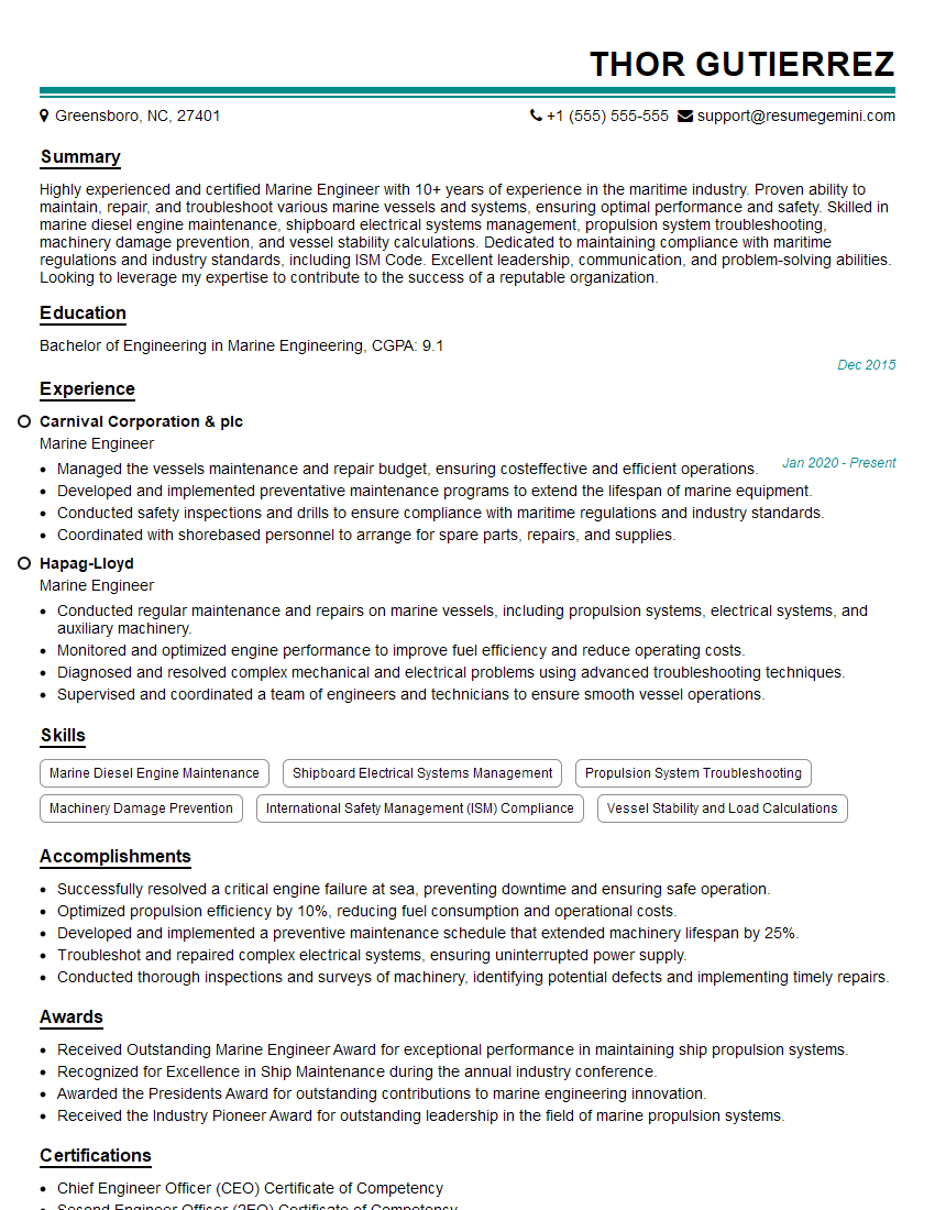
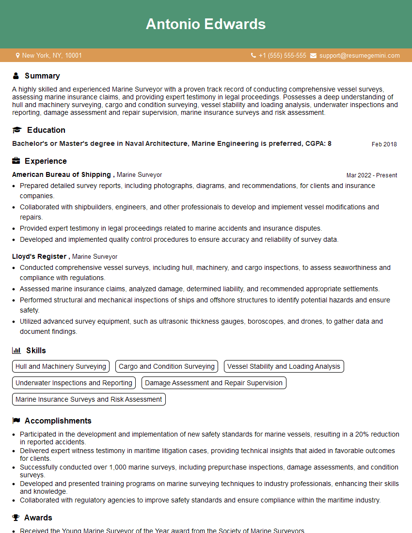
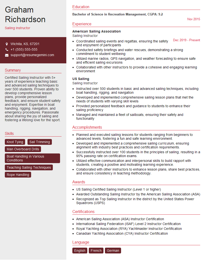
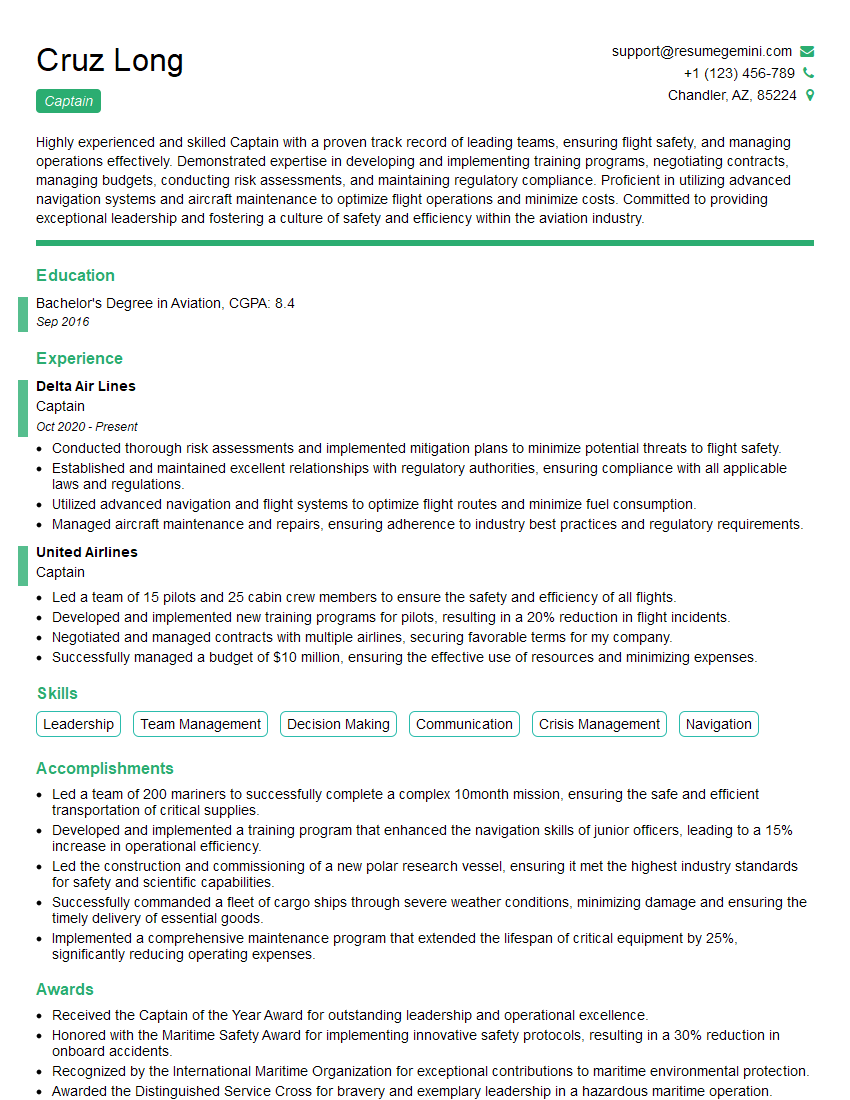
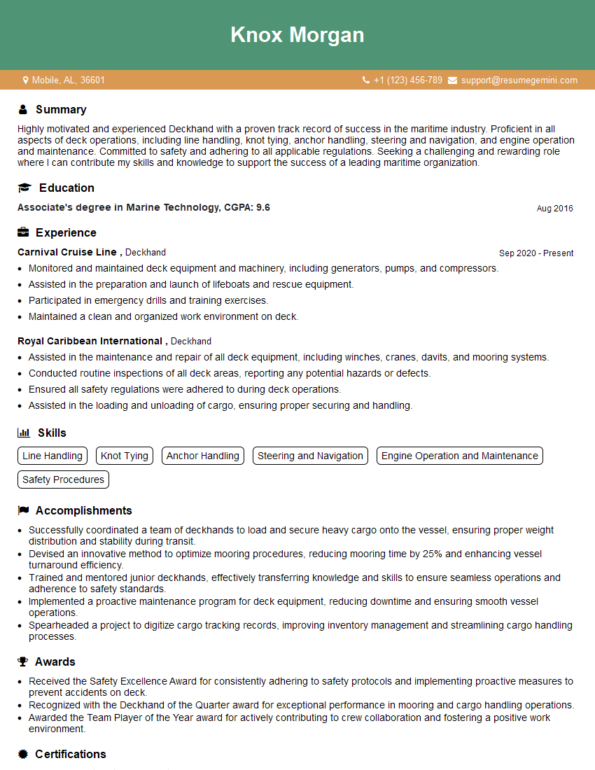
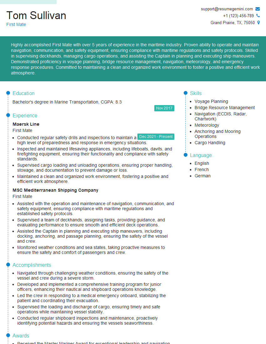
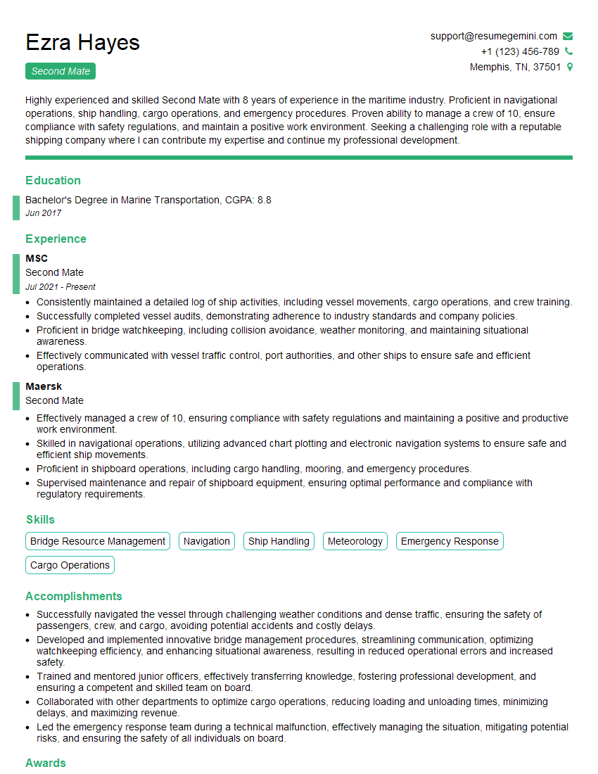
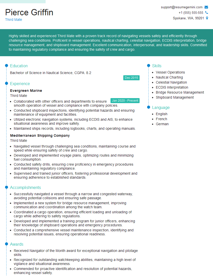
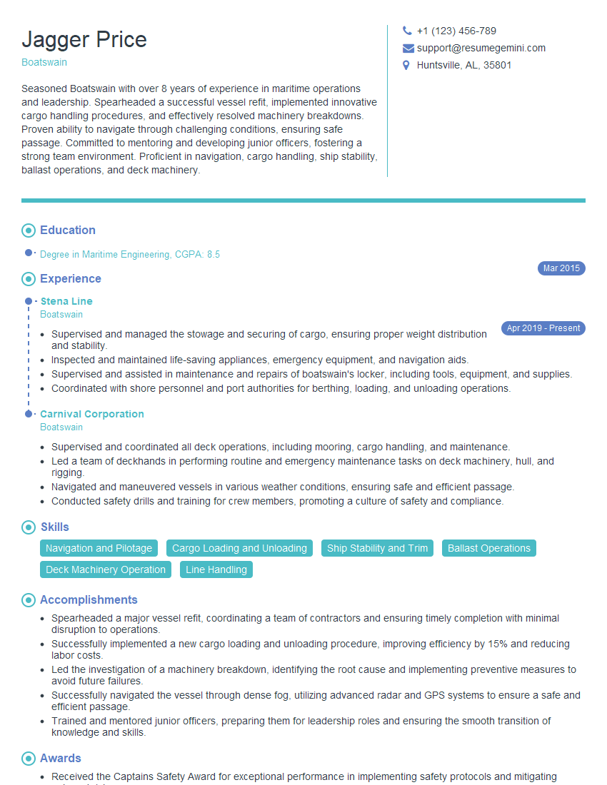
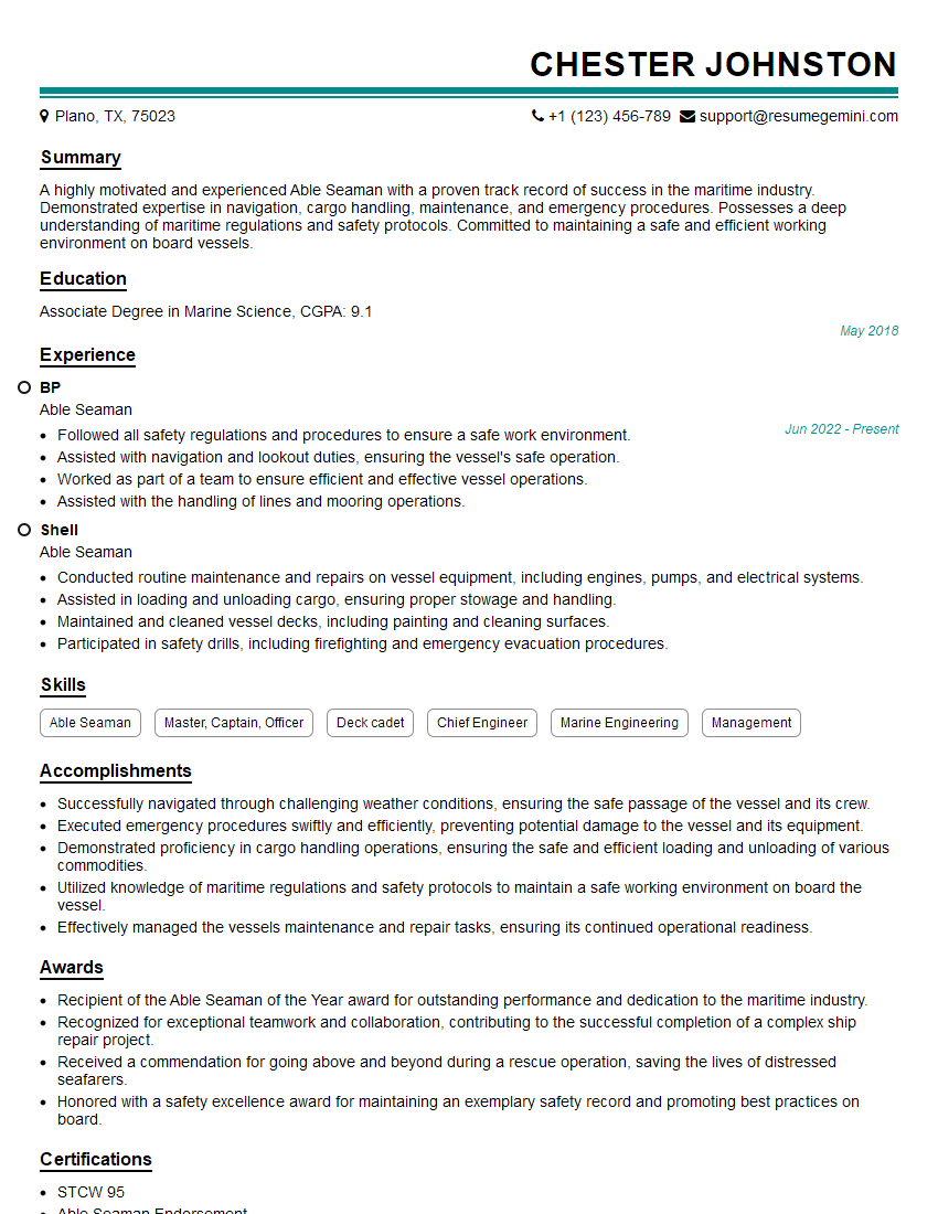
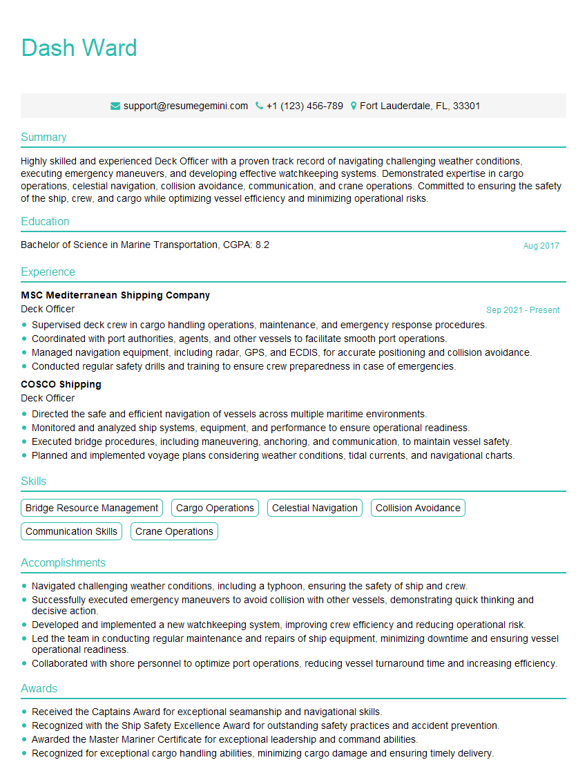
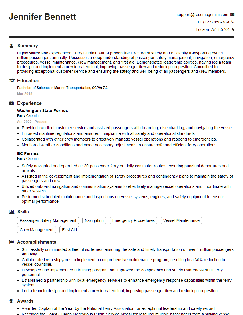
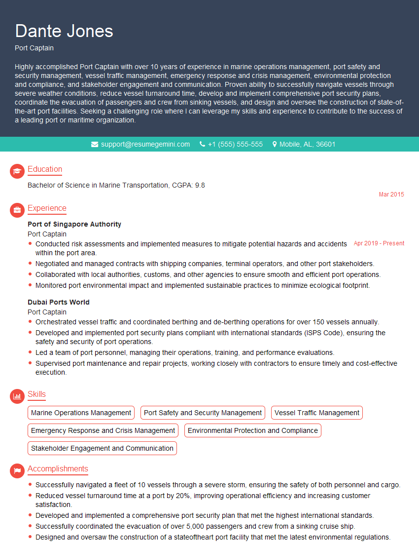
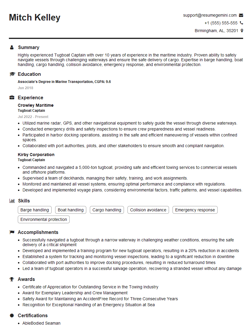
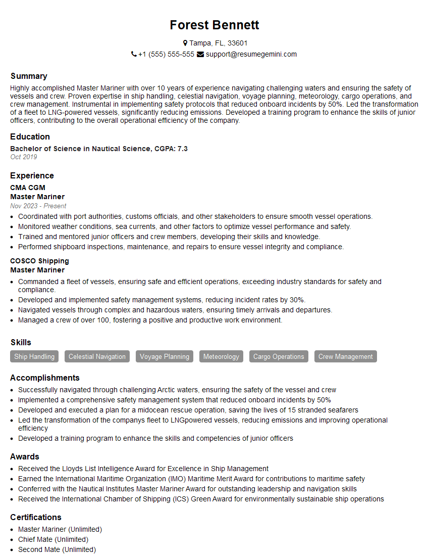
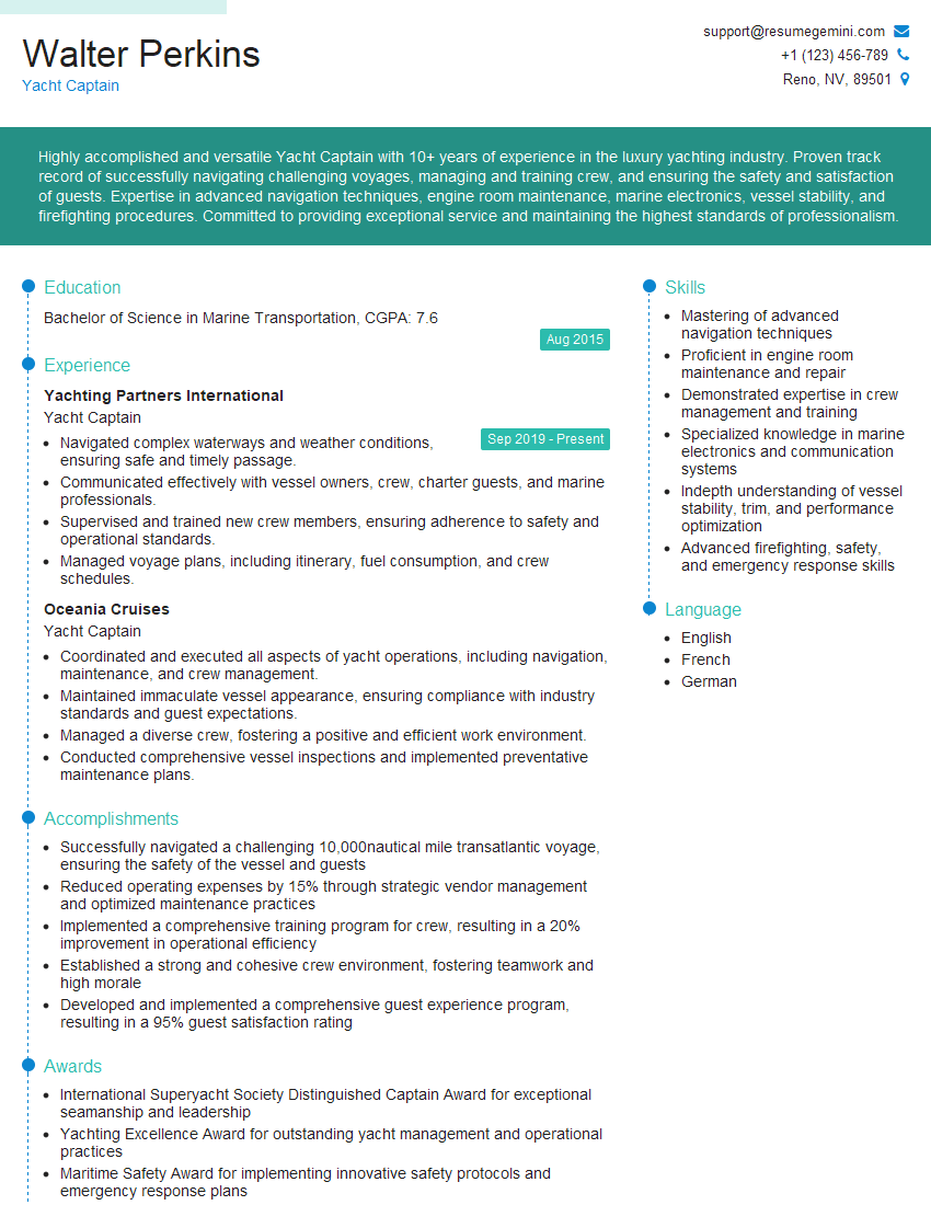
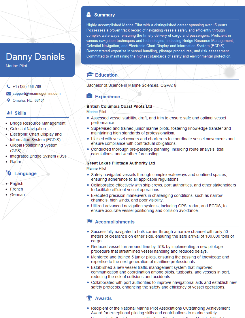
Mastering seamanship skills is crucial for career advancement in the maritime industry, opening doors to diverse roles and increased earning potential. A well-crafted, ATS-friendly resume is your key to unlocking these opportunities. To make your application stand out, leverage the power of ResumeGemini, a trusted resource for building professional and effective resumes. ResumeGemini offers examples of resumes tailored to seamanship skills, helping you present your qualifications in the best possible light. Invest the time to create a compelling resume – it’s your first impression and a critical step towards your successful career journey.
Explore more articles
Users Rating of Our Blogs
Share Your Experience
We value your feedback! Please rate our content and share your thoughts (optional).
What Readers Say About Our Blog
Hi, I’m Jay, we have a few potential clients that are interested in your services, thought you might be a good fit. I’d love to talk about the details, when do you have time to talk?
Best,
Jay
Founder | CEO
