Preparation is the key to success in any interview. In this post, we’ll explore crucial Experience in River and Coastal Operations interview questions and equip you with strategies to craft impactful answers. Whether you’re a beginner or a pro, these tips will elevate your preparation.
Questions Asked in Experience in River and Coastal Operations Interview
Q 1. Explain the principles of river hydraulics and their impact on navigation.
River hydraulics is the study of water flow in rivers, encompassing factors like velocity, discharge, depth, and channel geometry. Understanding these principles is crucial for safe and efficient navigation. For instance, knowing the relationship between water depth and velocity allows us to determine safe speeds for vessels to avoid grounding or damage. Changes in river flow, due to factors like rainfall or dam releases, directly affect navigable depths and current strengths, influencing the types of vessels that can safely transit the waterway and the routes they must take.
Imagine a river with a narrow section. The principle of continuity, stating that the volume flow rate must remain constant, dictates that the water velocity will increase significantly in that constricted area. This increased velocity creates stronger currents that pose challenges to navigation. Conversely, during periods of low rainfall, the reduced water volume leads to shallower depths and potentially restricts navigation to smaller vessels. River engineers utilize hydraulic models and simulations to predict these changes and assist in planning efficient and safe navigation strategies.
Q 2. Describe different types of coastal erosion and mitigation strategies.
Coastal erosion is the process of wearing away land by the action of waves, currents, tides, and wind. Several types exist, including:
- Abrasion: The wearing away of rock and sediment by the impact of waves and sediment carried by them.
- Corrosion: The chemical dissolution of rocks by seawater.
- Hydraulic action: The force of waves breaking against the coast, eroding material.
- Attrition: The grinding down of sediment as it is transported by waves and currents.
Mitigation strategies vary depending on the specific type of erosion and the coastal environment. These include:
- Seawalls: Vertical structures built to protect the coastline from wave attack.
- Revetments: Sloped structures made of rock or concrete designed to absorb wave energy.
- Breakwaters: Offshore structures that reduce wave energy before it reaches the shore.
- Beach nourishment: Adding sand or sediment to a beach to widen it and protect it from erosion.
- Dune stabilization: Planting vegetation to stabilize sand dunes and protect them from erosion.
For example, in a situation of severe beach erosion, a combination of beach nourishment and dune stabilization might be the most effective solution, creating a natural buffer against wave action while replenishing lost sediment. Each strategy requires a thorough understanding of the local geology, hydrology, and wave climate.
Q 3. What are the key factors influencing river discharge and flow patterns?
River discharge, the volume of water flowing past a point per unit time, and flow patterns are influenced by several key factors:
- Rainfall: The primary source of river water; intense rainfall leads to higher discharge and rapid changes in flow patterns.
- Snowmelt: Significant contributor to river flow, particularly in mountainous regions and during spring thaw.
- Groundwater infiltration: Groundwater seeps into rivers, contributing to baseflow and maintaining a minimum discharge even during dry periods.
- Evapotranspiration: Water loss from rivers due to evaporation and plant transpiration reduces discharge.
- Reservoir operations: Dams and reservoirs can significantly regulate river discharge, releasing controlled amounts of water downstream.
- River morphology: The shape and characteristics of the river channel influence flow velocity and patterns; constrictions speed up flow.
For example, during a prolonged drought, the discharge of a river might drop significantly due to reduced rainfall and groundwater infiltration. This reduction in flow can impact navigation, potentially stranding vessels in shallower channels.
Q 4. How do you ensure safe navigation in challenging river conditions (e.g., low visibility, strong currents)?
Safe navigation in challenging river conditions requires a multi-faceted approach:
- Advanced Navigation Systems: Utilizing GPS, radar, and sonar systems to navigate in low visibility, accurately track vessel position, and detect obstacles. These systems provide real-time data about water depth and currents.
- Experienced Crew: Highly skilled pilots and crew with extensive experience in handling vessels in challenging conditions are essential.
- Detailed Charts and Hydrographic Data: Accurate charts and regularly updated hydrographic surveys are critical for understanding water depths, currents, and potential hazards.
- Slow Speeds and Maneuverability: Reducing speed and maintaining a margin of safety from banks and obstacles are crucial.
- Communication and Coordination: Constant communication with other vessels and port authorities is necessary to avoid collisions and ensure smooth navigation.
- Contingency Planning: Having backup plans and emergency procedures in place for situations like equipment failure or sudden changes in river conditions is crucial.
A real-world example would be navigating a heavily trafficked river at night during fog. Sophisticated radar and echo-sounding systems are critical, along with extremely vigilant crew, and close communication with other ships. Speed would be reduced dramatically to allow ample time to react to unforeseen circumstances.
Q 5. Explain the role of hydrographic surveys in safe navigation and port operations.
Hydrographic surveys are the foundation of safe navigation and port operations. They involve the systematic measurement and mapping of the physical features of water bodies, including water depth, bottom topography, and the location of underwater obstacles. This data is crucial for:
- Chart Production: Creating accurate nautical charts used for navigation, showing safe waterways and potential hazards.
- Port Development: Planning and construction of ports, docks, and channels, ensuring sufficient water depth for vessels.
- Dredging Operations: Determining where and how much dredging is needed to maintain navigable depths.
- Pipeline and Cable Routing: Identifying safe routes for underwater infrastructure to avoid damage and hazards.
- Environmental Monitoring: Assessing the impact of human activities on the seabed and coastal environment.
Without accurate hydrographic surveys, navigation would be unsafe and inefficient, with a high risk of groundings and collisions. Port operations would be severely hampered, and infrastructure development would be compromised. The data provided by these surveys is essential for managing risks and maintaining smooth operations across the maritime sector.
Q 6. Describe your experience with different types of dredging equipment and techniques.
My experience encompasses various dredging equipment and techniques, including:
- Trailing Suction Hopper Dredgers (TSHDs): These vessels use a trailing suction pipe to dredge material from the seabed and store it in an onboard hopper for disposal. They are highly efficient for large-scale dredging projects.
- Cutter Suction Dredgers (CSD): These dredgers use a rotating cutter to break up harder materials before suctioning them into a pipeline for disposal. They’re effective for denser sediments and restricted spaces.
- Bucket Dredgers: These use a series of buckets on a rotating wheel to dig and lift material from the seabed, particularly suitable for hard rock removal.
- Grab Dredgers: These use a clam-shell type bucket to scoop up material from the seabed, useful for smaller-scale dredging and specialized tasks.
The choice of equipment and technique depends on several factors, including the type of sediment, water depth, project scale, environmental considerations, and budget. For instance, a TSHD would be ideal for large-scale maintenance dredging of a wide river channel, whereas a CSD might be more appropriate for deepening a narrow shipping channel with compact clay sediments. I’ve been involved in projects employing all of these techniques, carefully selecting the most appropriate method for the specific conditions and requirements.
Q 7. How do you assess and manage environmental risks associated with river and coastal operations?
Assessing and managing environmental risks associated with river and coastal operations requires a proactive and comprehensive approach. This includes:
- Environmental Impact Assessments (EIAs): Conducting thorough EIAs to identify potential impacts of projects on water quality, aquatic life, and coastal ecosystems.
- Water Quality Monitoring: Regularly monitoring water quality parameters such as turbidity, suspended solids, and dissolved oxygen to assess the impact of dredging and other operations.
- Sediment Management: Developing plans to manage dredged material appropriately, ensuring it is disposed of in a way that minimizes environmental harm; this may involve beneficial reuse, contained disposal, or placement in designated disposal areas.
- Noise and Vibration Mitigation: Implementing measures to reduce noise and vibration levels from dredging equipment to minimize disturbance to marine mammals and other wildlife.
- Habitat Restoration: Implementing measures to restore or mitigate damage to habitats impacted by projects.
- Compliance with Regulations: Ensuring all operations are in compliance with relevant environmental regulations and permits.
For example, during a dredging project, we’d carefully monitor water turbidity to ensure that sediment plumes don’t spread too widely, harming sensitive marine life. Moreover, we would meticulously plan the disposal of dredged materials to avoid causing pollution or damage to valuable habitats.
Q 8. What are the common challenges in managing coastal infrastructure?
Managing coastal infrastructure presents unique challenges due to the dynamic nature of the coastal environment. These challenges can be broadly categorized into environmental, infrastructural, and operational aspects.
- Environmental Factors: Coastal erosion, storm surges, sea-level rise, and fluctuating water levels constantly threaten infrastructure. For example, a seawall designed to protect a port might need constant maintenance or even redesign due to increased erosion from stronger storms or higher tides.
- Infrastructural Limitations: Constructing and maintaining structures in the harsh coastal environment is expensive and challenging. Saltwater corrosion is a major factor impacting the lifespan of materials like steel and concrete. Finding suitable building materials resistant to corrosion and wave action is crucial.
- Operational Constraints: Navigational hazards such as shifting sandbanks and strong currents impact port operations. Maintaining safe access channels requires regular dredging and monitoring. Furthermore, ensuring the safety of personnel and equipment in challenging weather conditions is paramount.
Effective management requires a multi-faceted approach including robust design, regular maintenance, environmental monitoring, and the implementation of advanced technologies like real-time monitoring systems to predict and mitigate risks.
Q 9. Explain your understanding of tidal patterns and their impact on port operations.
Tidal patterns, the rise and fall of sea levels caused by the gravitational pull of the moon and sun, significantly impact port operations. Understanding these patterns is crucial for safe and efficient navigation, cargo handling, and overall port management.
High tides can increase water depths, allowing larger vessels to enter and maneuver within the port. However, strong tidal currents during high tide can make maneuvering challenging and potentially dangerous. Conversely, low tides can restrict access for larger vessels, potentially reducing port capacity and efficiency.
We use tidal prediction models and real-time data from tide gauges to plan operations. For example, we schedule the arrival and departure of large vessels to coincide with high tide to ensure sufficient water depth for safe navigation. We also factor tidal currents into the planning of dredging operations and other maintenance activities within the port.
Q 10. How do you ensure compliance with maritime regulations and safety standards?
Compliance with maritime regulations and safety standards is non-negotiable. It’s not just about avoiding penalties; it’s about ensuring the safety of personnel, vessels, and the environment. We achieve this through a multi-pronged approach:
- Regular Audits and Inspections: We conduct regular safety inspections of equipment, vessels, and infrastructure, ensuring all are compliant with relevant regulations and standards set by bodies like the IMO (International Maritime Organization).
- Training and Certification: All personnel receive thorough training on safety procedures, emergency response protocols, and relevant regulations. Certifications are regularly updated to ensure they are current.
- Documentation and Record Keeping: Meticulous record-keeping of maintenance, inspections, and training ensures traceability and accountability. This documentation is critical for audits and investigations.
- Proactive Risk Management: We use risk assessment techniques to identify potential hazards and develop mitigation strategies. This includes regular updates to safety plans to address evolving risks.
For instance, we meticulously document all maintenance on our cranes, ensuring that every component is regularly inspected and serviced in accordance with manufacturer recommendations and regulatory guidelines to prevent accidents.
Q 11. Describe your experience with GPS and other navigation systems.
GPS (Global Positioning System) and other navigation systems are indispensable tools in river and coastal operations. My experience encompasses a wide range of technologies, including:
- GPS: Essential for precise vessel positioning, navigation, and tracking. We use differential GPS (DGPS) for enhanced accuracy in critical situations.
- Electronic Chart Display and Information Systems (ECDIS): These integrated systems combine chart data, GPS information, and other sensor inputs to provide comprehensive navigational information. We use ECDIS for route planning, collision avoidance, and monitoring vessel position and speed.
- AIS (Automatic Identification System): AIS allows us to track the position and identify other vessels in the vicinity, significantly enhancing collision avoidance capabilities.
- Radar Systems: Used to detect obstacles and other vessels, particularly in low visibility conditions.
In one instance, we used real-time GPS tracking to monitor the position of a barge during a challenging storm, ensuring its safe passage through a narrow channel. The integration of various navigation systems provided invaluable data that was crucial to managing that situation effectively.
Q 12. How do you handle emergency situations in river or coastal environments?
Emergency situations in river and coastal environments demand swift and effective responses. Our protocols are built around a proactive, layered approach:
- Preparedness: We maintain detailed emergency response plans tailored to specific potential hazards, including oil spills, vessel collisions, and severe weather events. Regular drills ensure our team is prepared.
- Communication: Clear and efficient communication channels are crucial. We utilize various methods such as VHF radio, satellite phones, and dedicated emergency networks.
- Response Teams: Dedicated teams are trained to respond to various emergencies, with roles and responsibilities clearly defined. This includes specialized teams trained in oil spill response or search and rescue.
- Collaboration: Effective coordination with external agencies such as the Coast Guard, maritime police, and environmental protection agencies is critical during major incidents.
For example, during a recent severe storm, our pre-prepared plan allowed us to efficiently secure our equipment, evacuate personnel, and coordinate with the coast guard to ensure the safety of vessels in our port. The established communication channels allowed us to receive weather updates and relay critical information to stakeholders and vessel operators.
Q 13. Explain your experience with port security and anti-terrorism measures.
Port security and anti-terrorism measures are paramount. Our approach is multi-layered and integrated:
- Physical Security: This includes perimeter fencing, access control systems, CCTV surveillance, and regular patrols to prevent unauthorized access. We use advanced technologies like intrusion detection systems.
- Personnel Security: Thorough background checks and security awareness training are mandatory for all personnel. We also implement strict visitor access protocols.
- Cybersecurity: Protecting our critical infrastructure and systems from cyber threats is vital. We regularly assess and mitigate vulnerabilities, and implement robust security protocols.
- Collaboration and Information Sharing: Collaboration with law enforcement and intelligence agencies is crucial. We participate in information sharing initiatives to stay ahead of potential threats.
One example includes our implementation of a sophisticated access control system utilizing biometric scanners at key entry points, enhancing security and tracking personnel movement within the port area.
Q 14. Describe your experience in managing a team in a river or coastal operation.
Leading a team in a river or coastal operation requires strong leadership, effective communication, and a deep understanding of the unique challenges of the environment. My approach focuses on:
- Clear Communication: Establishing open and transparent communication channels ensures everyone is informed and understands their roles and responsibilities.
- Teamwork and Collaboration: Fostering a culture of collaboration promotes a sense of shared responsibility and enhances problem-solving capabilities.
- Safety First Mentality: Emphasizing safety protocols and procedures is paramount. Regular safety training and risk assessments ensure a safe working environment.
- Performance Management: Providing regular feedback and performance reviews helps to identify areas for improvement and enhances overall team performance.
- Motivation and Empowerment: Creating a supportive environment where team members feel valued and empowered leads to increased productivity and job satisfaction.
For example, during a particularly challenging dredging project, by working closely with my team, fostering open communication and emphasizing collaborative problem-solving, we managed to complete the project ahead of schedule and without any safety incidents.
Q 15. How do you manage conflicts between different stakeholders in a coastal area?
Managing conflicts between stakeholders in a coastal area requires a collaborative and communicative approach. It’s like orchestrating a complex symphony where everyone has a different instrument and a different interpretation of the score. The key is to understand each stakeholder’s priorities, concerns, and perspectives. This often involves:
- Facilitated workshops and meetings: Creating a neutral platform for open dialogue and negotiation.
- Stakeholder analysis: Identifying all parties involved (e.g., local communities, businesses, government agencies, environmental groups) and mapping their interests and influence.
- Mediation and conflict resolution techniques: Employing strategies to find mutually acceptable solutions that balance competing interests. This might involve compromise, trade-offs, or the development of creative alternatives.
- Transparent communication: Ensuring clear and consistent communication of project goals, plans, and decisions to all stakeholders.
- Building trust and rapport: Establishing strong relationships based on mutual respect and understanding.
For example, in a project involving coastal development, a conflict might arise between developers seeking to build a resort and local fishermen concerned about the impact on their livelihoods. A successful conflict resolution might involve the development of mitigation measures (e.g., artificial reefs) to compensate for habitat loss and a commitment to sustainable tourism practices. Detailed impact assessments and environmental studies are crucial to support this process.
Career Expert Tips:
- Ace those interviews! Prepare effectively by reviewing the Top 50 Most Common Interview Questions on ResumeGemini.
- Navigate your job search with confidence! Explore a wide range of Career Tips on ResumeGemini. Learn about common challenges and recommendations to overcome them.
- Craft the perfect resume! Master the Art of Resume Writing with ResumeGemini’s guide. Showcase your unique qualifications and achievements effectively.
- Don’t miss out on holiday savings! Build your dream resume with ResumeGemini’s ATS optimized templates.
Q 16. Explain your knowledge of coastal zone management plans.
Coastal Zone Management Plans (CZMPs) are comprehensive strategies for the sustainable management and development of coastal areas. They’re essentially blueprints for balancing competing interests and protecting valuable coastal resources. Think of them as the rulebook for responsible coastal living. A well-crafted CZMP typically includes:
- Environmental assessment: Identifying ecologically sensitive areas and resources needing protection.
- Socio-economic analysis: Assessing the current and potential impacts on local communities and economies.
- Land use planning: Defining designated zones for different activities (e.g., residential, commercial, conservation).
- Hazard mitigation planning: Incorporating strategies to reduce risks from coastal hazards like erosion, flooding, and storms.
- Monitoring and evaluation: Establishing mechanisms to track the effectiveness of the plan and make necessary adjustments.
For instance, a CZMP might prioritize the preservation of mangrove forests for their role in coastal protection, while also allowing for controlled development in designated areas to support local economies. Enforcement and compliance mechanisms are critical to the success of any CZMP. Without enforcement, even the most well-designed plan will be ineffective.
Q 17. Describe the process of obtaining necessary permits and licenses for river and coastal projects.
Obtaining permits and licenses for river and coastal projects is a complex process that varies depending on the location and the nature of the project. It often involves navigating multiple layers of bureaucracy and regulatory requirements. It’s like a multi-step puzzle with permits from different agencies acting as puzzle pieces. Generally, the process includes:
- Identifying relevant agencies: Determining which local, state, and federal agencies have jurisdiction over the project.
- Preparing the application: Gathering all necessary information, including detailed plans, environmental impact assessments, and technical reports.
- Submitting the application: Following specific procedures for submission and paying any required fees.
- Review and evaluation: Undergoing a thorough review process by regulatory agencies. This might include public consultations and environmental reviews.
- Permit issuance: Receiving permits and licenses once all requirements are met and the project is deemed acceptable.
- Compliance monitoring: Adhering to permit conditions during construction and operation.
Failure to obtain the necessary permits can result in legal penalties, project delays, and even project cancellation. Therefore, thorough planning and consultation with regulatory agencies are paramount from the outset.
Q 18. How do you assess the feasibility of a new river or coastal project?
Assessing the feasibility of a river or coastal project involves a multi-faceted evaluation process, similar to performing due diligence before a major investment. It’s about determining if the project is technically, economically, environmentally, and socially viable. This requires:
- Technical feasibility: Assessing whether the project can be constructed and operated effectively, given the physical constraints of the site.
- Economic feasibility: Evaluating the project’s financial viability, including construction costs, operational expenses, and potential revenue streams.
- Environmental feasibility: Determining potential environmental impacts, conducting appropriate assessments (e.g., Environmental Impact Assessments), and designing mitigation measures.
- Social feasibility: Considering the potential social impacts on local communities and stakeholders, and incorporating their perspectives into the planning process.
- Risk assessment: Identifying potential risks and uncertainties associated with the project and developing contingency plans.
For example, a proposed port development project needs to consider its impact on navigation, water quality, and nearby ecosystems. An economic analysis would look at the cost-benefit ratio and its potential economic contributions to the region. Without a comprehensive feasibility study, a project is likely to face significant challenges and potential failure.
Q 19. What are the key factors to consider when designing a coastal defense system?
Designing a coastal defense system requires a holistic approach, considering various factors that work in concert, much like a well-defended castle. Key factors include:
- Understanding coastal processes: Analyzing wave action, tides, currents, sediment transport, and erosion patterns. This helps in identifying vulnerable areas and choosing the appropriate defense strategy.
- Site-specific conditions: Considering factors such as geology, topography, and the presence of existing infrastructure.
- Type of defense: Selecting appropriate structures such as seawalls, breakwaters, revetments, beach nourishment, or a combination of these, based on site-specific conditions and cost-effectiveness.
- Environmental considerations: Minimizing environmental impacts and ensuring the sustainability of the defense system.
- Maintenance and lifecycle costs: Planning for long-term maintenance, repairs, and potential upgrades.
- Community involvement: Engaging local communities in the planning process to address concerns and ensure community buy-in.
For instance, a low-lying coastal area might benefit from a combination of beach nourishment (adding sand to replenish eroded beaches) and a breakwater (to reduce wave energy), whereas a highly developed area might opt for a seawall to directly protect infrastructure.
Q 20. Explain your experience with GIS and its application in river and coastal management.
Geographic Information Systems (GIS) are indispensable tools in river and coastal management. They are the eyes in the sky, providing a comprehensive view of the terrain and the processes occurring in these dynamic environments. My experience with GIS includes:
- Spatial data analysis: Using GIS software (e.g., ArcGIS, QGIS) to analyze spatial patterns and relationships between different variables (e.g., topography, land use, water quality).
- Coastal process modeling: Applying GIS-based models to simulate coastal erosion, flooding, and other processes, allowing for predictive analysis and scenario planning.
- Data visualization: Creating maps, charts, and other visuals to communicate complex information effectively to stakeholders.
- Database management: Integrating GIS data with other databases to develop comprehensive information systems for river and coastal management.
For example, I’ve used GIS to analyze changes in coastal erosion rates over time, identify areas at high risk of flooding, and plan for the optimal location of coastal defense structures. The ability to overlay various datasets (e.g., topography, land cover, population density) within a GIS environment allows for the identification of critical areas and the assessment of multiple impacts simultaneously.
Q 21. Describe your experience with data analysis related to river and coastal data.
Data analysis is crucial in gaining insights from the vast amount of data collected in river and coastal environments. It’s like being a detective, piecing together clues to understand the processes at play. My experience encompasses:
- Hydrological data analysis: Analyzing river flow data, water levels, and precipitation patterns to understand hydrological processes and predict future conditions.
- Coastal data analysis: Analyzing wave data, tidal information, and shoreline changes to understand coastal dynamics and manage risks.
- Statistical modeling: Developing statistical models to predict future changes and forecast potential hazards.
- Remote sensing data analysis: Using satellite imagery and aerial photographs to monitor changes in land cover, water quality, and coastal morphology.
- Data quality control: Ensuring the accuracy and reliability of the data used in analysis, similar to cross-checking sources in an investigative process.
For instance, I’ve used statistical modeling to predict the impact of sea-level rise on coastal communities, analyzed water quality data to identify pollution sources, and employed remote sensing techniques to track the extent of coastal erosion over time. The use of advanced analytical techniques is essential in ensuring the robustness and applicability of the findings for informed decision-making.
Q 22. How do you use weather forecasts and other data to improve navigation safety?
Weather forecasts are crucial for safe navigation in rivers and coastal areas. We integrate data from various sources, including meteorological agencies (like the National Weather Service), to predict wind speed, wave height, currents, and precipitation. This information allows us to anticipate potential hazards like strong winds causing high waves, reduced visibility due to fog or rain, or rapid changes in water levels impacting safe passage. For example, if a strong storm is predicted, we might postpone a river dredging operation or advise vessels to seek shelter. Similarly, coastal navigation relies heavily on accurate wave forecasts to adjust vessel speeds and routes to minimize the risk of capsizing or damage. We also use real-time data from buoys and weather stations to verify predictions and make informed, dynamic decisions.
Beyond weather, other data such as water level gauges, tidal predictions, and river flow data informs our decision-making. Combining these datasets allows for a comprehensive risk assessment, enabling proactive measures to enhance navigation safety. Imagine navigating a narrow channel – integrating real-time water level data with predicted tidal changes enables precise timing of transit to avoid grounding.
Q 23. How do you use hydrological models to predict river flow and flooding?
Hydrological models are sophisticated computer programs that simulate the movement of water within a river system. These models use input data such as rainfall, snowmelt, evapotranspiration (water loss from plants), and topography to predict river flow rates, water levels, and potential flood events. Think of it as a digital twin of the river, helping us understand how it responds to various conditions. We use these models to forecast river discharge, enabling timely warnings of potential floods and allowing for effective flood mitigation measures, such as the controlled release of water from reservoirs or the deployment of flood defenses. The models incorporate different levels of complexity, from simple rainfall-runoff models to more advanced models considering factors like groundwater interaction and channel morphology.
For instance, in a project involving a dam and downstream communities, we used a hydrological model to assess the impact of different dam release strategies on downstream flood risk. By simulating various scenarios, we identified the optimal release schedule to minimize flood risk while ensuring sufficient water supply. The accuracy of the model’s predictions depends heavily on the quality and quantity of input data and the model’s calibration against historical data.
Q 24. What are the key considerations for managing sediment transport in rivers?
Managing sediment transport in rivers is a complex issue with far-reaching consequences. Key considerations include understanding the sediment budget (the balance between sediment inputs and outputs), the sediment’s characteristics (grain size, composition), and the river’s morphology (shape and flow patterns). Excessive sediment can lead to channel clogging, reducing navigation capacity and increasing flood risk. Conversely, insufficient sediment can cause erosion and habitat loss. Effective management requires a holistic approach.
- Monitoring: Continuous monitoring of sediment concentration, flow rates, and channel morphology provides critical data for understanding sediment transport dynamics.
- Modeling: Sediment transport models help predict the effects of various management interventions, such as dredging or dam operations.
- Mitigation: Implementing strategies to reduce sediment input, such as erosion control measures in upstream catchments, or managing existing sediment through dredging or bank stabilization techniques.
- Restoration: In some cases, restoring natural river processes can help improve sediment management. For example, restoring riparian vegetation can help stabilize banks and reduce erosion.
For example, in a project addressing sediment buildup in a navigation channel, we used a combination of monitoring, modeling, and dredging to maintain navigable depths while minimizing environmental impacts. The dredging operations were carefully planned and executed to avoid harming sensitive habitats.
Q 25. Describe your experience with using remote sensing technologies in coastal studies.
Remote sensing technologies, such as satellite imagery and aerial photography, are invaluable tools in coastal studies. These technologies provide large-scale, synoptic views of coastal environments, allowing for efficient monitoring of various processes. We use this data to map coastal changes, assess erosion and accretion patterns, monitor water quality, and identify habitats. For instance, satellite imagery with high spectral resolution can be used to identify different types of vegetation, providing insights into coastal ecosystem health. Similarly, LiDAR (Light Detection and Ranging) can create detailed topographic maps, crucial for understanding coastal elevations and identifying areas vulnerable to flooding.
In one project, we used satellite imagery to track coastal erosion rates over a decade. This allowed us to identify areas experiencing accelerated erosion and inform coastal protection strategies. We also use drones equipped with high-resolution cameras to generate detailed orthomosaics and 3D models of coastal areas, enabling precise measurements and the detailed study of specific features like coastal cliffs or wetlands.
Q 26. How do you balance environmental protection with economic development in coastal areas?
Balancing environmental protection and economic development in coastal areas requires a sustainable approach that integrates ecological considerations into planning and decision-making. This often involves trade-offs and necessitates careful consideration of competing interests. The key is to find solutions that maximize economic benefits while minimizing negative environmental impacts. This is achieved through integrated coastal zone management (ICZM), a framework that emphasizes stakeholder engagement, collaborative planning, and adaptive management.
For example, developing sustainable aquaculture practices that minimize pollution and habitat destruction while supporting local economies is a key element of this balance. Similarly, promoting eco-tourism that safeguards natural resources and enhances community well-being is vital. Environmental impact assessments are crucial tools for evaluating the potential consequences of development projects and identifying mitigation measures. It’s also important to engage local communities to understand their needs and values and ensure that development plans benefit them and respect their traditions.
Q 27. Describe your experience with risk assessment and mitigation in river and coastal projects.
Risk assessment and mitigation are fundamental to any river and coastal project. We use various techniques, including hazard identification, vulnerability analysis, and risk evaluation, to understand the potential risks associated with a project. This includes considering natural hazards (floods, storms, erosion) as well as human-induced risks (pollution, habitat destruction). We then develop mitigation strategies to reduce the likelihood or impact of these risks.
For example, in a port development project, we conducted a risk assessment to identify potential risks such as storm surges, ship collisions, and oil spills. Based on this assessment, we recommended mitigation measures such as building seawalls, implementing vessel traffic management systems, and developing an oil spill response plan. This involved collaboration with various stakeholders, including port authorities, environmental agencies, and local communities.
Q 28. Explain your understanding of the principles of sustainable coastal management.
Sustainable coastal management is based on the principles of integration, participation, and adaptation. It aims to balance the needs of people with the protection of coastal ecosystems. Key principles include:
- Integrated approach: Considering the interconnectedness of various coastal processes and sectors (e.g., water quality, fisheries, tourism).
- Precautionary approach: Taking action to prevent environmental damage even in the absence of complete scientific certainty.
- Adaptive management: Continuously monitoring and adjusting management strategies based on new information and changing conditions.
- Stakeholder participation: Engaging all relevant stakeholders in the decision-making process.
- Long-term perspective: Considering the long-term consequences of management actions and adopting a forward-thinking approach.
Sustainable coastal management is not simply about protecting the environment; it’s about ensuring the long-term well-being of coastal communities and ecosystems. It requires a collaborative effort between governments, businesses, and individuals to build resilient and sustainable coastal areas.
Key Topics to Learn for Experience in River and Coastal Operations Interview
- Hydrodynamics and Water Dynamics: Understanding river and coastal currents, tides, waves, and their impact on operations.
- Navigation and Positioning Systems: Practical application of GPS, chart reading, and other navigational tools in river and coastal environments. Experience with various types of vessels and their limitations in specific environments.
- Environmental Regulations and Compliance: Knowledge of relevant environmental laws, permits, and best practices for minimizing environmental impact. Understanding of potential hazards and mitigation strategies.
- Vessel Operations and Maintenance: Practical experience with vessel handling, maintenance procedures, and safety protocols in challenging river and coastal conditions.
- Cargo Handling and Logistics: Efficient and safe handling of various cargo types in river and coastal environments, including planning and execution.
- Risk Assessment and Management: Identifying and mitigating potential risks associated with river and coastal operations, including weather forecasting, navigational hazards and emergency response procedures.
- Communication and Teamwork: Effective communication and collaboration with crew members, port authorities, and other stakeholders.
- Safety Procedures and Emergency Response: Deep understanding of safety regulations and procedures, including emergency response planning and execution.
- Data Analysis and Interpretation: Analyzing hydrological data, navigational charts, and other relevant information to make informed decisions.
- Project Management (if applicable): Experience in planning, executing, and monitoring river and coastal projects, managing budgets and timelines.
Next Steps
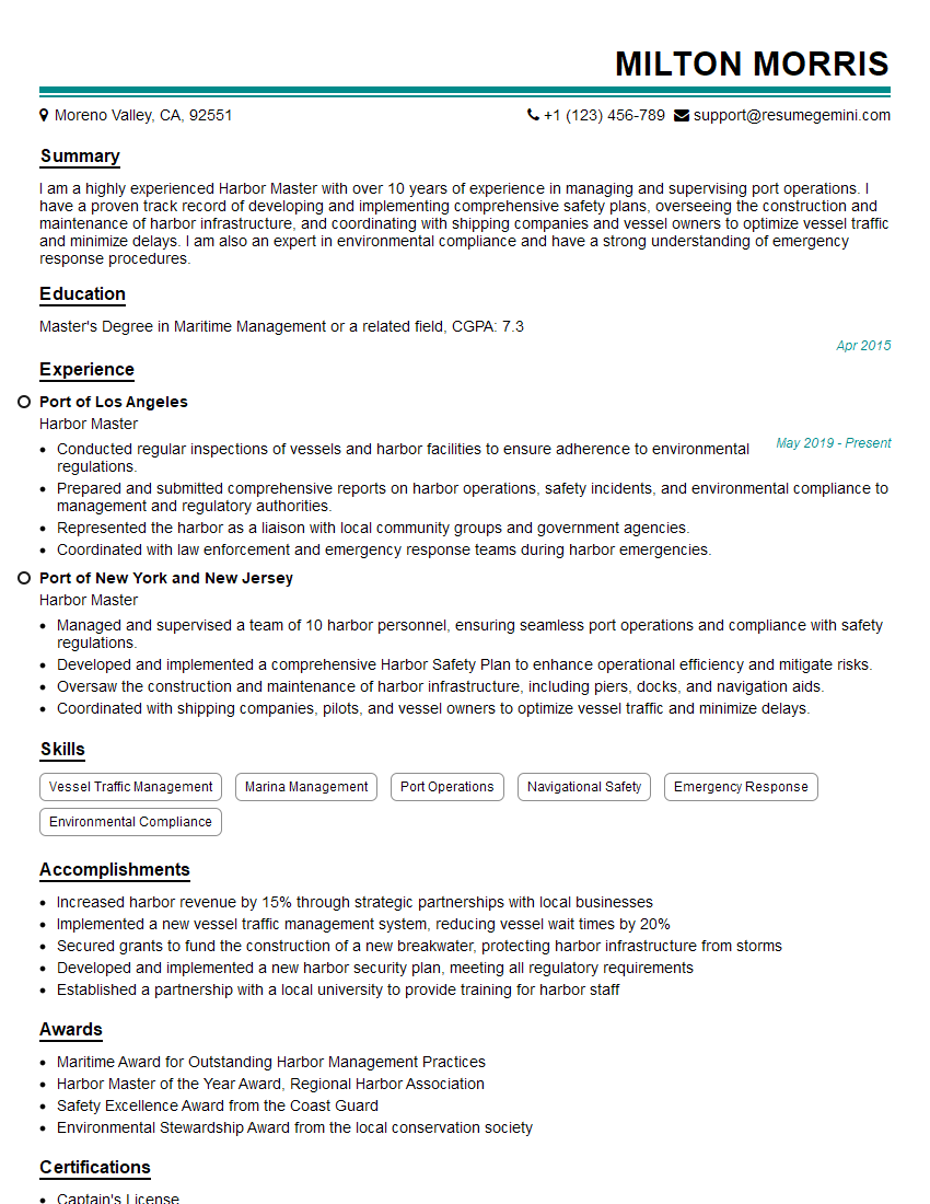
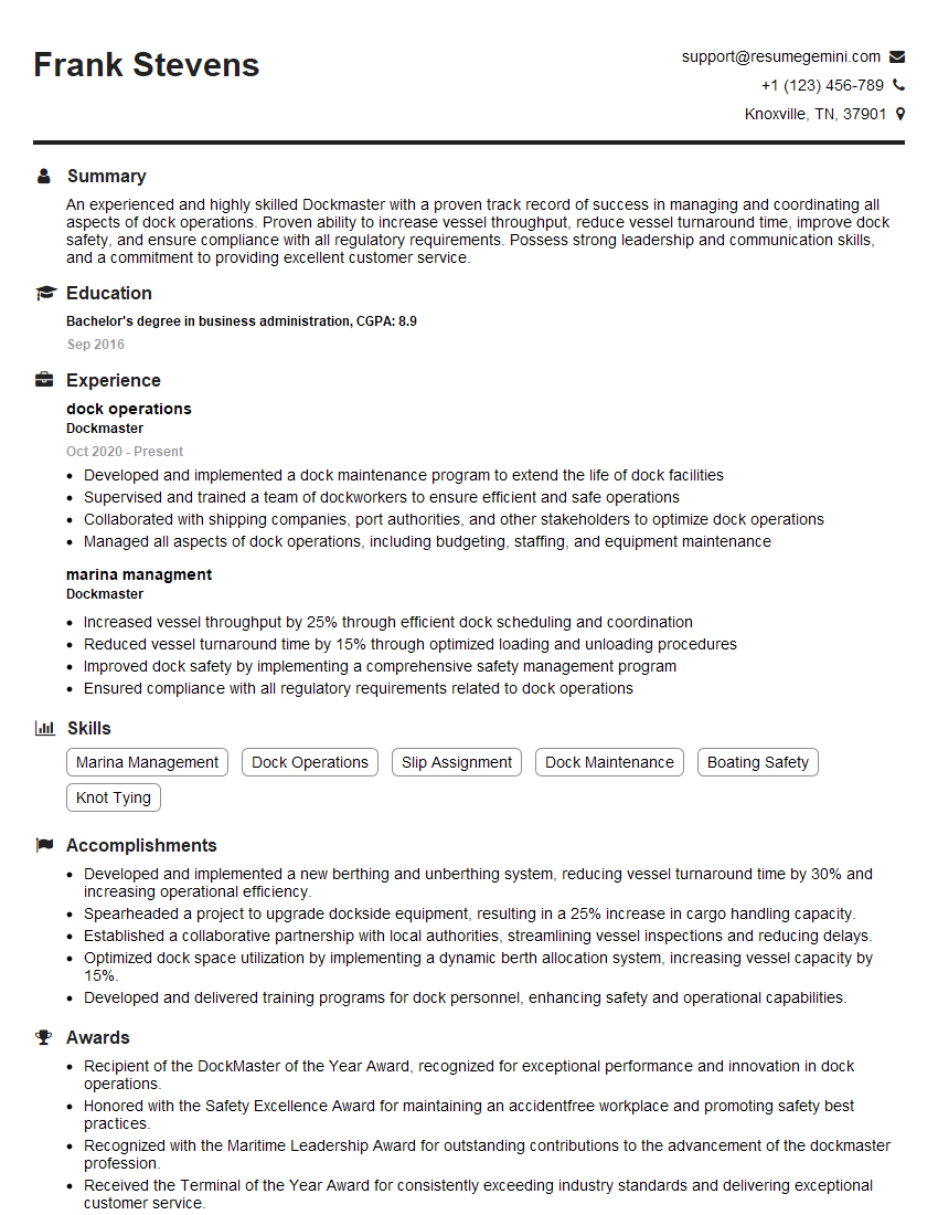
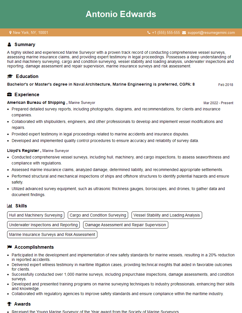
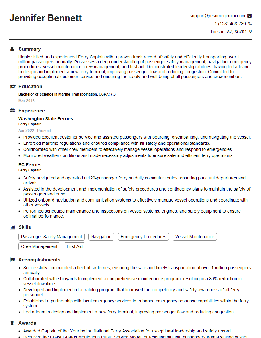
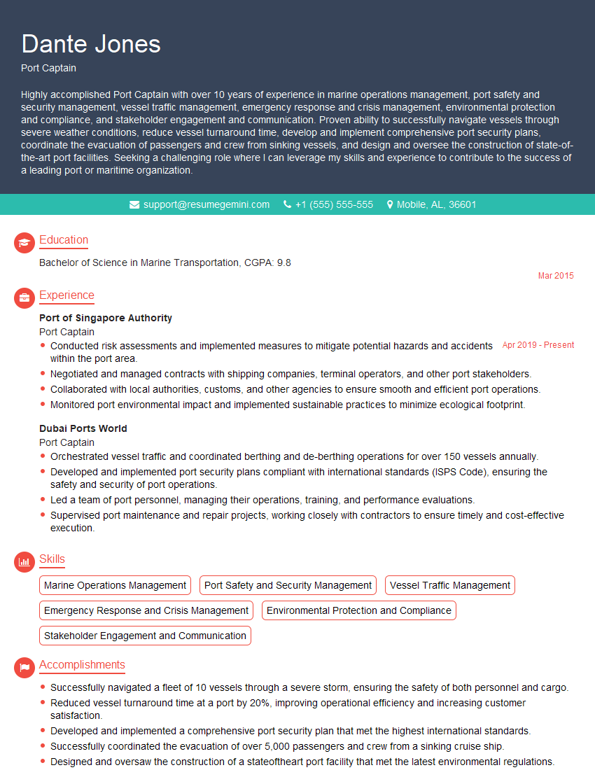
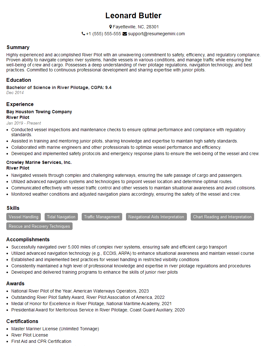
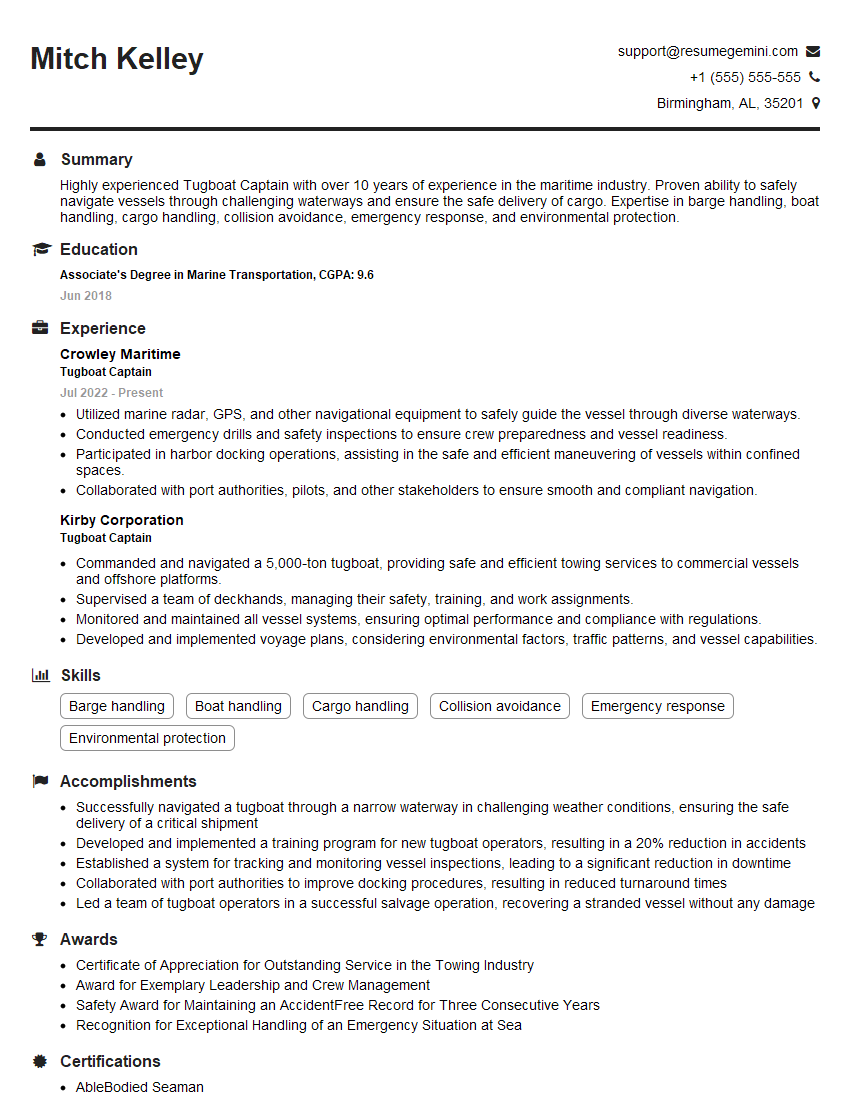
Mastering the intricacies of river and coastal operations is crucial for career advancement in this dynamic field. A strong understanding of these principles demonstrates your competence and readiness for challenging roles. To significantly boost your job prospects, creating a well-structured, ATS-friendly resume is essential. ResumeGemini is a trusted resource that can help you craft a professional resume that highlights your skills and experience effectively. Examples of resumes tailored specifically to experience in River and Coastal Operations are available to guide you through the process.
Explore more articles
Users Rating of Our Blogs
Share Your Experience
We value your feedback! Please rate our content and share your thoughts (optional).
What Readers Say About Our Blog
Hi, I’m Jay, we have a few potential clients that are interested in your services, thought you might be a good fit. I’d love to talk about the details, when do you have time to talk?
Best,
Jay
Founder | CEO
