Interviews are more than just a Q&A session—they’re a chance to prove your worth. This blog dives into essential Knowledge of Local and Regional Waterways interview questions and expert tips to help you align your answers with what hiring managers are looking for. Start preparing to shine!
Questions Asked in Knowledge of Local and Regional Waterways Interview
Q 1. Describe the tidal patterns in this region and their impact on navigation.
Tidal patterns in this region are predominantly semidiurnal, meaning we experience two high tides and two low tides each day. The exact timing and height of these tides vary significantly based on the lunar cycle, the position of the sun, and even local bathymetry (the shape of the seabed). For instance, during spring tides (when the sun, moon, and Earth are aligned), the tidal range – the difference between high and low tide – is much greater, leading to stronger currents. Conversely, during neap tides, the range is smaller. These variations directly impact navigation.
Strong tidal currents can make maneuvering vessels challenging, especially for smaller boats or those with limited engine power. Navigators must consult tide tables and charts to predict current speeds and directions, ensuring they have sufficient margin to navigate safely and efficiently. For example, attempting to navigate a narrow channel during a strong ebb (outgoing) current could be extremely difficult and potentially dangerous. Accurate timing is crucial to avoid being swept off course or grounded on shallows revealed during low tide.
Furthermore, tidal height dramatically alters the navigable depth of certain waterways. Channels that are deep enough at high tide might become impassable at low tide, requiring vessels to adjust their routes and transit times accordingly. This highlights the importance of meticulous planning and continuous monitoring of real-time tidal information.
Q 2. Explain the different types of waterway markers and their significance.
Waterway markers are essential for safe navigation, providing information about channels, hazards, and other important features. They fall into several categories:
- Lateral Markers: These guide vessels through channels. Red markers (with numbered buoys) are placed on the starboard (right) side when entering from seaward, while green markers (also numbered) are placed on the port (left) side. They are crucial for staying within the safe and designated waterway.
- Cardinal Markers: These indicate the safe passage around hazards. For example, a North Cardinal marker (black and yellow, with a black triangle point upwards) indicates that the hazard lies to the North. These markers are arranged in a compass-like manner, signifying the direction of safe water.
- Isolated Danger Markers: These mark a single, isolated hazard like a rock or wreck. They are typically black with two horizontal bands of red.
- Safe Water Markers: These mark a safe water area. They are typically white with a single red band, often seen on buoys that indicate the centre of a channel.
- Special Markers: These are used to show areas with particular regulations, such as speed limits or no-wake zones. These can include signs or special markings on buoys or beacons.
Understanding the different shapes, colors, and numbers displayed on these markers is paramount for safe navigation. Misinterpreting a marker can lead to collisions with hazards or other vessels.
Q 3. What are the common hazards encountered on local waterways?
Local waterways present various hazards, ranging from natural obstacles to human-made dangers. Common hazards include:
- Shallow Water/Shoals: These can ground vessels, especially during low tide or in poorly charted areas. We frequently encounter shifting sandbars in our region.
- Rocks and Wrecks: Submerged or partially submerged rocks and sunken vessels pose significant collision risks.
- Strong Currents and Tides: These can make navigation difficult and even dangerous, especially in narrow channels or during high currents.
- Navigational Obstructions: These may include floating debris (logs, branches, etc.), debris from construction activities, or poorly marked structures.
- Other Vessels: Collisions with other vessels are a frequent hazard, especially in busy waterways or areas with limited visibility.
- Weather Conditions: Sudden changes in weather, such as strong winds or fog, can severely reduce visibility and increase the risk of accidents.
- Uncharted Obstacles: Occasionally, unforeseen hazards such as suddenly appearing debris fields or unexpected shifting sandbanks may appear.
Careful planning, constant vigilance, and adherence to safe navigation practices are essential to mitigate these risks.
Q 4. How would you handle a navigational emergency on a waterway?
Handling a navigational emergency requires a calm and systematic approach. My first step would be to assess the situation:
- Determine the nature of the emergency: Is it a collision, grounding, fire, or something else?
- Assess the immediate danger: Are there any immediate threats to the vessel or its occupants?
- Contact emergency services: Immediately notify the Coast Guard or other appropriate authorities via VHF radio (channel 16) and provide details of the location, nature of the emergency, and the number of people on board.
Then, I would implement necessary actions, such as:
- Take immediate actions to mitigate the emergency: This might involve activating emergency equipment (life rafts, flares), deploying anchors, or other measures to stabilize the situation.
- Assist any injured persons: Prioritize the safety and well-being of anyone on board who has been injured.
- Maintain communication: Stay in contact with emergency services and provide them with updates on the situation.
- Maintain order and control: Keep passengers calm and follow instructions from authorities.
Detailed documentation of the event is critical for insurance purposes and subsequent investigations.
Q 5. What are the legal regulations governing vessel operation in this area?
Legal regulations governing vessel operation in this area are extensive and vary depending on vessel type and activity. Key aspects include:
- Registration and Licensing: All vessels operating in these waters must be properly registered with the appropriate authorities, and operators may require specific licenses or endorsements depending on the vessel’s size and the type of activity.
- Navigation Rules: Adherence to the International Regulations for Preventing Collisions at Sea (COLREGs) is mandatory, outlining rules of the road for safe navigation and preventing collisions.
- Safety Equipment: Vessels must carry appropriate safety equipment, including life jackets, flares, fire extinguishers, and other items as required by regulations.
- Speed Limits and Navigation Restrictions: Many waterways have speed restrictions, especially in sensitive areas or near populated areas. Certain areas might be restricted for navigation altogether during certain periods or for certain vessel types.
- Environmental Regulations: Regulations regarding the discharge of pollutants (oil, sewage, etc.) are strictly enforced.
- Alcohol and Drugs: Operating a vessel under the influence of alcohol or drugs is illegal and carries severe penalties.
Detailed information on specific regulations can be found in the local boating guidelines and Coast Guard publications.
Q 6. Explain the process of obtaining necessary permits for waterway activities.
The process for obtaining permits for waterway activities depends on the nature of the activity. Generally, it involves:
- Identify the required permits: Different activities (fishing, dredging, construction, mooring, etc.) require different permits. Information can be obtained from the relevant environmental agencies and port authorities.
- Complete the application: Applications typically require detailed information about the proposed activity, including its location, duration, and potential environmental impacts.
- Provide supporting documentation: Supporting documents may include environmental impact assessments, navigational plans, safety plans, and proof of insurance.
- Pay the application fee: A fee is usually required to process the permit application.
- Await approval: The processing time for permit applications can vary depending on the complexity of the activity and the workload of the permitting agency.
Failure to obtain the necessary permits before commencing any waterway activity can result in significant fines and potential legal action.
Q 7. What is your experience with charting and navigation systems?
I possess extensive experience with both traditional paper charting and modern electronic navigation systems. My expertise in paper charts includes interpreting various chart symbols and datums, understanding the nuances of tidal calculations, and planning voyages using traditional methods. I’m proficient in using plotting tools and working with various chart scales.
With electronic charting systems (ECS), I am familiar with various systems such as (mention specific systems if applicable, e.g., Raymarine, Furuno, etc.), proficient in utilizing GPS, AIS (Automatic Identification System), and depth sounders for real-time navigation. I can confidently use these systems to plan routes, monitor vessel position, detect potential hazards, and effectively manage navigational risks. For instance, I regularly utilize the AIS system to monitor the location and movement of nearby vessels, avoiding potential collision scenarios. I am also well-versed in utilizing the electronic charting system to overlay various navigational data, such as weather forecasts and tidal predictions, for efficient and safe navigation planning.
Moreover, I have experience performing regular maintenance and calibration of navigational equipment to ensure operational reliability and accuracy.
Q 8. Describe your knowledge of local waterway depths and currents.
My knowledge of local waterway depths and currents is extensive. I’ve spent years charting these waterways, using a combination of traditional surveying techniques and modern sonar technology. This allows me to create detailed bathymetric maps showing the depth at various points, identifying shallow areas, and even predicting shifts due to sedimentation or erosion. For example, the section of the River Thames near Putney Bridge experiences significant tidal changes, affecting depths dramatically throughout the day. I account for these variations when advising on safe navigation.
Understanding currents is crucial for safe and efficient navigation. We consider factors like tidal flow, river discharge, and wind patterns to create accurate current models. This is particularly vital in areas with strong tidal races or confluence points, where unexpected currents can pose significant risks to vessels. A good example is the confluence of the River Avon and the Severn Estuary, where strong tidal streams can quickly become hazardous for smaller craft.
Q 9. How familiar are you with the ecological aspects of this waterway?
My familiarity with the ecological aspects is paramount to my work. I understand the delicate balance of the local ecosystem and the impact waterway activities can have. I’m aware of the sensitive habitats present, such as spawning grounds for fish, crucial bird nesting sites, and areas with significant aquatic plant life. For instance, the presence of protected seagrass beds in certain estuaries requires very careful navigation and management of vessel traffic to prevent damage. I am also knowledgeable about invasive species and their potential impact on the native flora and fauna.
I regularly collaborate with environmental scientists and agencies to ensure that any project, whether it’s dredging or construction, minimizes ecological disruption. This involves implementing mitigation strategies, conducting environmental impact assessments, and adhering strictly to environmental regulations.
Q 10. What are the environmental regulations protecting this waterway?
The local waterways are subject to a robust set of environmental regulations designed to protect water quality, biodiversity, and overall ecosystem health. These regulations, often drawn from national and international frameworks, cover a wide range of activities, including waste discharge, dredging, construction, and vessel operation. Specific regulations vary depending on the type of waterway and its designated status (e.g., protected area, navigation channel). Key aspects usually include:
- Water quality standards: Limiting pollutants and ensuring acceptable levels of nutrients, dissolved oxygen, etc.
- Habitat protection: Rules against damaging or destroying critical habitats like wetlands and spawning grounds.
- Invasive species control: Regulations to prevent the introduction and spread of invasive plant and animal species.
- Discharge permits: Requirements for permits to discharge any waste or pollutants into the waterway.
Enforcement is typically carried out by environmental agencies, and non-compliance can result in significant penalties.
Q 11. How do weather conditions affect navigation on this waterway?
Weather conditions significantly impact navigation safety and efficiency. Strong winds, heavy rain, fog, and ice can all dramatically affect vessel operations. High winds, for example, can create dangerous waves and make steering difficult, particularly for smaller vessels. Fog significantly reduces visibility, necessitating the use of specialized navigation equipment and reduced speeds. Heavy rain can reduce visibility and cause increased currents.
Predicting and adapting to these conditions is crucial. We use meteorological data and weather forecasts to plan operations carefully. Navigation might be suspended altogether during severe weather events to prioritize safety. We also incorporate weather information into our navigation models and assessments, adjusting routes and speeds as needed.
Q 12. What safety measures are crucial when operating vessels on local waterways?
Safety is paramount when operating vessels on local waterways. Crucial safety measures include:
- Proper vessel maintenance: Regular checks of the engine, hull, and safety equipment are essential.
- Navigation equipment: Utilizing up-to-date charts, GPS systems, and radar to ensure accurate positioning and collision avoidance.
- Crew training: All crew members must be properly trained in vessel operation, navigation, and emergency procedures.
- Communication: Maintaining constant communication with other vessels and shore-based authorities.
- Adherence to regulations: Strictly following all relevant navigation rules and regulations.
- Emergency preparedness: Having a well-defined emergency plan and appropriate safety equipment readily available.
Regular safety drills and inspections are crucial for maintaining a high level of safety awareness and preparedness.
Q 13. Explain your experience with waterway maintenance and dredging.
My experience with waterway maintenance and dredging is extensive. I’ve been involved in numerous projects, ranging from small-scale maintenance dredging to large-scale channel improvements. I understand the various techniques involved, including the use of different types of dredging equipment (bucket dredgers, cutter suction dredgers, etc.), and the importance of sediment disposal and environmental monitoring.
Dredging projects require careful planning and execution. We assess the need for dredging, design the optimal dredging plan, obtain necessary permits, and carefully manage the disposal of dredged material. We prioritize minimizing environmental disruption and adhering to strict environmental regulations throughout the process. A recent project involved removing accumulated sediment from a key shipping channel, which required careful coordination with shipping companies to minimize disruption to commercial traffic.
Q 14. What are the challenges of managing commercial traffic on this waterway?
Managing commercial traffic on busy waterways presents several significant challenges. These include:
- Congestion: Balancing the needs of numerous vessels with differing sizes, speeds, and destinations can be challenging, particularly in narrow channels or during peak periods.
- Safety: Preventing collisions and other accidents requires rigorous traffic management systems and adherence to strict navigation rules.
- Environmental impact: Minimizing the environmental impact of commercial shipping requires careful management of vessel emissions and waste disposal.
- Efficiency: Optimizing traffic flow to ensure efficient transport and minimize delays is crucial for the economic viability of the waterway.
- Infrastructure: Maintaining and upgrading the necessary infrastructure, including navigation aids, berths, and mooring facilities, is essential for supporting commercial traffic.
Effective management involves utilizing advanced traffic management systems, clear communication protocols, and close collaboration between waterway authorities and shipping companies. The implementation of Vessel Traffic Services (VTS) is a crucial tool for monitoring and managing traffic flow and preventing incidents.
Q 15. How familiar are you with the history of this waterway?
My familiarity with the history of waterways is extensive. I approach it from several perspectives: the geological history shaping the waterway’s current form, the historical use of the waterway (e.g., navigation, trade, industry), and the impact of human activity on its evolution. For instance, understanding the historical dredging of a river helps predict potential sediment buildup and its impact on navigation. Similarly, knowing the past use of a waterway for industrial discharge allows me to anticipate potential contamination hotspots that require careful monitoring. I utilize historical maps, archival documents, and academic research to build a comprehensive understanding.
For example, I recently worked on a project involving the [Name of River/Waterway]. Researching its history revealed a period of intense industrialization in the early 20th century, resulting in significant pollution which continues to affect water quality today. This historical context is crucial for developing effective remediation strategies.
Career Expert Tips:
- Ace those interviews! Prepare effectively by reviewing the Top 50 Most Common Interview Questions on ResumeGemini.
- Navigate your job search with confidence! Explore a wide range of Career Tips on ResumeGemini. Learn about common challenges and recommendations to overcome them.
- Craft the perfect resume! Master the Art of Resume Writing with ResumeGemini’s guide. Showcase your unique qualifications and achievements effectively.
- Don’t miss out on holiday savings! Build your dream resume with ResumeGemini’s ATS optimized templates.
Q 16. Describe your experience with conflict resolution in waterway operations.
Conflict resolution in waterway operations often involves balancing competing interests. This might include resolving disputes between recreational boaters and commercial shipping, managing access for different user groups, or mediating disagreements between stakeholders on development projects near the waterway. My approach focuses on communication, collaboration, and finding mutually beneficial solutions. I begin by actively listening to all parties involved, identifying the root causes of the conflict, and exploring options for compromise.
For example, I once facilitated a meeting between a local fishing community and a company planning a new port facility. The fishermen were concerned about the potential impact of increased shipping traffic on their livelihood. By organizing open dialogue and mediating a negotiation, we reached an agreement that included establishing designated fishing zones and compensation for any proven losses due to the project.
Q 17. How do you ensure compliance with environmental protection regulations?
Ensuring compliance with environmental protection regulations requires a multi-faceted approach. It starts with a thorough understanding of the relevant legislation, permits, and regulations governing the specific waterway. This includes federal, state, and local laws regarding water quality, habitat protection, and waste disposal. Next, I implement robust monitoring programs to track key indicators such as water quality parameters (e.g., pH, dissolved oxygen, nutrient levels), pollutant concentrations, and biological indicators.
We use a combination of techniques such as regular water sampling, benthic macroinvertebrate surveys, and remote sensing technologies. If violations are detected, we initiate corrective actions, which may involve issuing warnings, enforcing penalties, and implementing remediation plans. A crucial aspect is also educating stakeholders about their environmental responsibilities and encouraging voluntary compliance through proactive engagement.
For example, we regularly conduct audits to ensure adherence to discharge permits for industrial facilities located near the waterway. This involves reviewing their operational practices, inspecting waste treatment systems, and analyzing their discharge samples against regulatory limits.
Q 18. How would you assess the risk of flooding in this region?
Assessing flood risk involves analyzing several factors. We begin by studying historical flood records, examining rainfall patterns, and considering the river’s morphology (shape and characteristics). This helps to identify areas with a high probability of flooding. We also consider factors such as land use changes (e.g., urbanization, deforestation), river channel modifications, and the presence of levees or other flood control structures. Using hydrological models and Geographic Information Systems (GIS), we can simulate different flood scenarios and estimate flood extents and depths under various conditions.
This information informs the development of flood hazard maps, which are crucial for planning and implementing mitigation strategies, including improved drainage systems, building codes, and early warning systems. For instance, analyzing historical data showed a correlation between intense rainfall events and flooding in a specific low-lying area near the river. This led to the development of a new flood warning system for that area, significantly reducing the impact of subsequent flooding events.
Q 19. Explain your understanding of water quality monitoring in waterways.
Water quality monitoring is essential for understanding the health of a waterway. It involves collecting and analyzing samples of water to determine various physical, chemical, and biological parameters. Physical parameters include temperature, turbidity (cloudiness), and dissolved oxygen levels. Chemical parameters include nutrient concentrations (nitrogen, phosphorus), heavy metals, and pesticides. Biological parameters assess the presence and abundance of various aquatic organisms, including algae, invertebrates, and fish, which are sensitive to pollution.
The frequency and location of monitoring depend on factors such as the intended use of the waterway and potential pollution sources. Data collected is analyzed to identify trends, potential pollution sources, and compliance with regulatory standards. This information is vital for managing water resources, protecting aquatic ecosystems, and ensuring public health and safety. For example, regular monitoring of a river revealed a spike in nutrient levels downstream from an agricultural area, indicating potential agricultural runoff pollution. This information helped target interventions, such as promoting best management practices among farmers.
Q 20. What methods are used to map and survey local waterways?
Mapping and surveying local waterways employs a variety of techniques depending on the required level of detail and the specific objectives. Traditional methods involve using survey equipment such as total stations and GPS to determine the precise location and elevation of points along the waterway. These data are then used to create detailed topographic maps and cross-sections. Hydrographic surveys employ sonar and other technologies to map the underwater features of the waterway, such as depth, bottom type, and submerged obstacles.
Modern technologies such as LiDAR (Light Detection and Ranging) and satellite imagery provide broader-scale mapping capabilities, allowing for efficient monitoring of changes in the waterway over time. This data is integrated using Geographic Information Systems (GIS) software, creating a comprehensive spatial database that supports various applications such as navigation, flood risk assessment, and environmental management.
Q 21. How would you respond to a pollution incident on a waterway?
Responding to a pollution incident requires immediate action. My first step would be to assess the situation and identify the type and extent of the pollution, the source if possible, and the potential impact on the environment and human health. This involves contacting relevant authorities (e.g., environmental agencies, emergency services) and deploying teams to conduct on-site assessments. We would prioritize containing the spill to prevent further spread.
This might involve using booms to contain floating pollutants or deploying absorbent materials to soak up spills. Water sampling is crucial to determine the extent and nature of the contamination. Depending on the pollutant, various remediation techniques may be employed, including physical removal, biological treatment, or chemical neutralization. We would also investigate the source of the pollution to prevent future incidents. Finally, a detailed report documenting the incident, response actions, and the environmental impacts will be prepared.
Q 22. Describe the impact of climate change on local waterways.
Climate change significantly impacts local waterways in several ways. Increased temperatures lead to higher water evaporation rates, reducing water levels and potentially impacting navigation. Changes in precipitation patterns result in more intense rainfall events, causing flooding and erosion, which can damage infrastructure and water quality. Melting glaciers and ice caps contribute to rising sea levels, leading to saltwater intrusion in estuaries and coastal waterways, harming sensitive ecosystems and potentially impacting drinking water sources. Warmer water temperatures also reduce dissolved oxygen levels, stressing aquatic life and potentially leading to harmful algal blooms. For example, the increased frequency and intensity of hurricanes in the Gulf Coast region are directly attributed to climate change, severely impacting coastal waterways and causing extensive damage to ports and infrastructure.
- Reduced Water Levels: Lower water levels restrict navigation, making it difficult for larger vessels to safely transit certain waterways.
- Increased Flooding: Severe flooding damages riparian ecosystems, washes pollutants into the water, and causes substantial economic losses.
- Saltwater Intrusion: This process contaminates freshwater sources, impacting drinking water supplies and agricultural practices.
Q 23. What is your knowledge of waterway infrastructure maintenance?
Waterway infrastructure maintenance is crucial for ensuring safe and efficient navigation. My experience encompasses various aspects, from routine inspections and dredging to major repairs and upgrades. Regular dredging is necessary to remove sediment buildup which can significantly reduce water depth and restrict navigation. Bridge inspections and repairs ensure structural integrity and prevent accidents. Regular monitoring of channel markers, buoys, and lighting systems is vital for safe navigation, particularly at night or in poor visibility. I’m also familiar with bank stabilization projects to prevent erosion and protect infrastructure. For example, I oversaw a project that involved replacing aging pilings on a critical bridge crossing, ensuring safe passage for commercial and recreational traffic. A comprehensive maintenance plan, incorporating predictive modeling and risk assessments, is key to efficient and cost-effective management.
Q 24. How do you manage communication with other vessel operators?
Effective communication with other vessel operators is paramount for waterway safety. I utilize a variety of methods depending on the situation. VHF radio is essential for short-range communication, allowing for quick alerts about hazards or changes in navigation. AIS (Automatic Identification System) provides real-time information about the position and movement of other vessels, aiding in collision avoidance. For pre-arranged meetings or coordination of large-scale operations, I use dedicated communication channels and established protocols. In addition to electronic communication, I always maintain a visual watch and utilize traditional hand signals when appropriate, ensuring all vessel operators can understand the intent. For instance, when approaching a lock, I use VHF radio to communicate with the lockmaster and other vessels waiting to enter, ensuring a smooth and safe passage for everyone.
Q 25. Explain your experience with using GPS and other navigational tools.
My experience with GPS and other navigational tools is extensive. I am proficient in using various GPS chartplotters, radar systems, and electronic charting systems (ECS). I understand the limitations of GPS and use it in conjunction with traditional navigational methods like compass bearings, depth soundings, and visual landmarks, especially in areas with limited GPS coverage or potential GPS interference. My knowledge extends to integrating various sensor data, such as weather information, water depth data, and AIS information, to create a comprehensive situational awareness. For example, during a recent voyage in a challenging area with poor visibility, the combination of GPS, radar and careful chart interpretation enabled me to navigate safely and efficiently.
Q 26. How would you contribute to the sustainability of this waterway?
Contributing to waterway sustainability requires a multi-faceted approach. I would advocate for implementing environmentally friendly practices in all waterway operations, from minimizing vessel emissions to adopting sustainable dredging methods. Supporting and implementing initiatives that protect riparian ecosystems and improve water quality are vital. Educating the public about responsible boating practices and the importance of environmental stewardship is crucial. Participating in or leading initiatives to restore degraded habitats and promote biodiversity can significantly enhance the long-term health of the waterway. For instance, advocating for the implementation of a comprehensive water quality monitoring program and working with local communities to reduce pollution runoff are vital strategies. Sustainable practices in infrastructure development and maintenance, including the use of recycled materials, can minimize the environmental footprint of these activities.
Q 27. Describe your experience with emergency response protocols on waterways.
My experience with emergency response protocols on waterways includes participation in numerous safety drills and real-world incidents. I am familiar with emergency communication procedures, including contacting relevant authorities and coordinating rescue operations. I am trained in first aid and CPR and know how to safely assist those in distress. I know the importance of maintaining a proper safety checklist and emergency equipment on board, including life jackets, flares, and a first-aid kit. Knowing the procedures to report an accident, follow emergency communication protocols and assist in the rescue effort is paramount. In one instance, I coordinated a rescue operation for a vessel experiencing engine failure in adverse weather, ensuring the safety of the crew and minimizing environmental damage.
Q 28. What are your strategies for improving waterway safety?
Improving waterway safety involves a combination of strategies. Promoting adherence to navigation rules and regulations is crucial. Implementing and enforcing speed limits in restricted areas helps prevent accidents. Regular training and education for vessel operators on safe operating procedures, navigation techniques, and emergency response is essential. Investing in modern navigational aids, like improved lighting and signaling systems, increases visibility and reduces the risk of collisions. Regular inspection and maintenance of infrastructure, coupled with proactive measures to address potential hazards, are vital for long-term safety. Working collaboratively with stakeholders to identify and address safety concerns leads to more effective and comprehensive solutions. For instance, implementing a voluntary reporting system for near-miss incidents can identify areas for improvement in safety protocols.
Key Topics to Learn for Knowledge of Local and Regional Waterways Interview
- Hydrography and Hydrology: Understanding water depth, currents, tides, and seasonal variations in your local and regional waterways. This includes recognizing potential hazards based on these factors.
- Navigation and Charting: Practical application of nautical charts, electronic charting systems (ECS), and understanding navigational aids like buoys, markers, and lighthouses. This includes planning safe and efficient routes.
- Waterway Regulations and Safety: Familiarity with local, regional, and potentially national regulations governing waterway usage, including safety protocols and emergency procedures.
- Environmental Considerations: Understanding the ecological impact of waterway usage, including awareness of sensitive ecosystems and potential pollution sources. This also includes knowledge of environmental regulations.
- Infrastructure and Maintenance: Knowledge of locks, dams, bridges, and other infrastructure impacting waterway navigation, and understanding their maintenance and operational aspects.
- Problem-Solving in Waterway Environments: Developing strategies for addressing unexpected situations, such as equipment malfunctions, navigational challenges, or environmental incidents. This could involve decision-making under pressure and risk assessment.
- Specific Local Waterways Expertise: Deep understanding of the unique characteristics, challenges, and opportunities presented by the specific waterways relevant to the job. This shows detailed knowledge beyond general concepts.
Next Steps
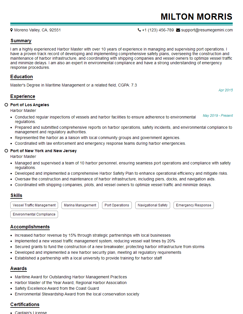
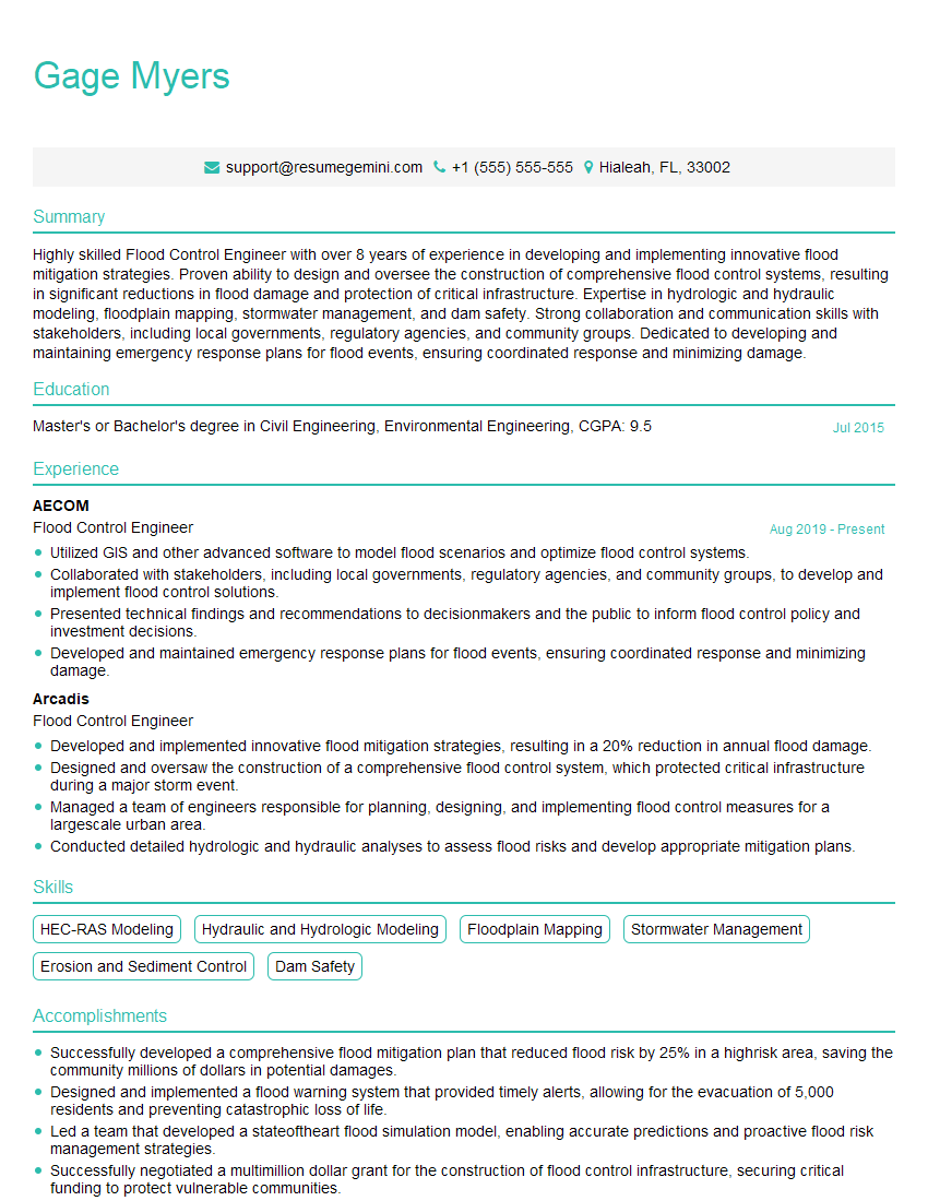
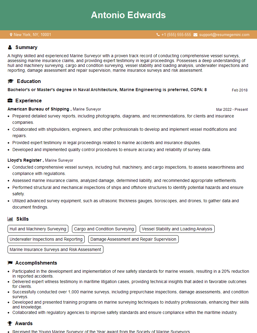
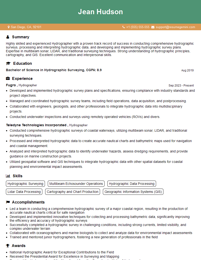
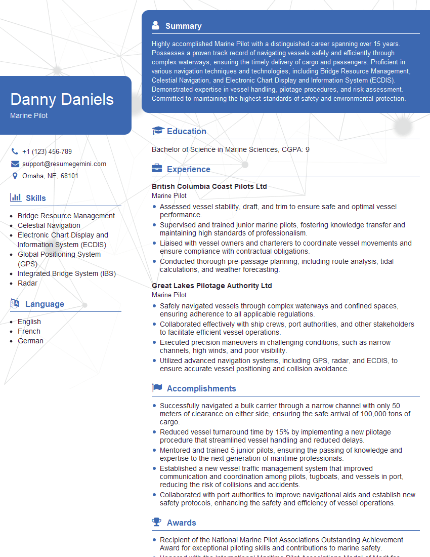
Mastering your knowledge of local and regional waterways is crucial for career advancement in this field. A strong understanding of these principles demonstrates competency and professionalism, opening doors to more challenging and rewarding roles. To significantly boost your job prospects, crafting an ATS-friendly resume is essential. This ensures your qualifications are effectively communicated to hiring managers and Applicant Tracking Systems. We highly recommend using ResumeGemini to build a professional and impactful resume. ResumeGemini provides tools and resources to create a compelling document that highlights your skills and experience. Examples of resumes tailored to Knowledge of Local and Regional Waterways are available within ResumeGemini to help guide your resume creation process.
Explore more articles
Users Rating of Our Blogs
Share Your Experience
We value your feedback! Please rate our content and share your thoughts (optional).
What Readers Say About Our Blog
Hi, I’m Jay, we have a few potential clients that are interested in your services, thought you might be a good fit. I’d love to talk about the details, when do you have time to talk?
Best,
Jay
Founder | CEO
