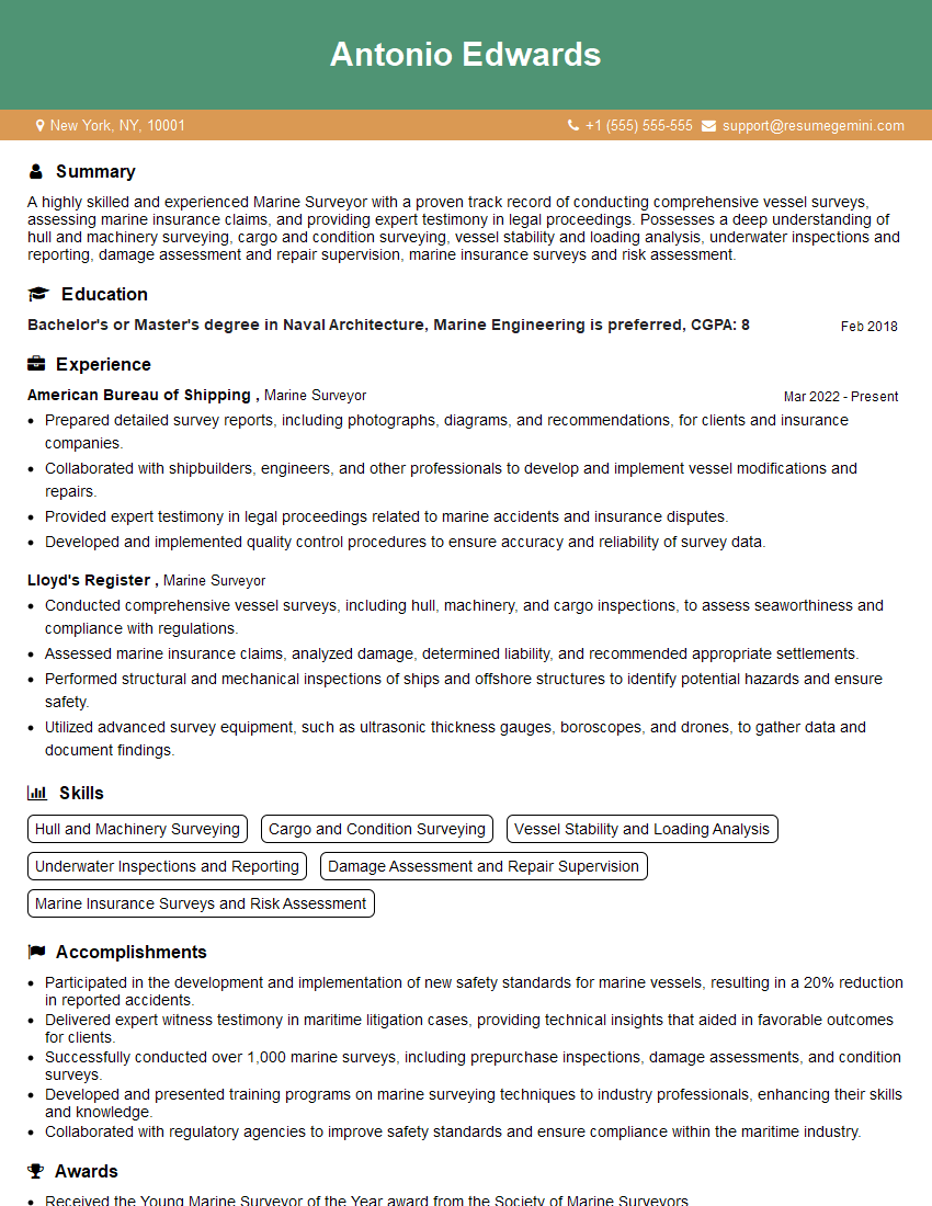
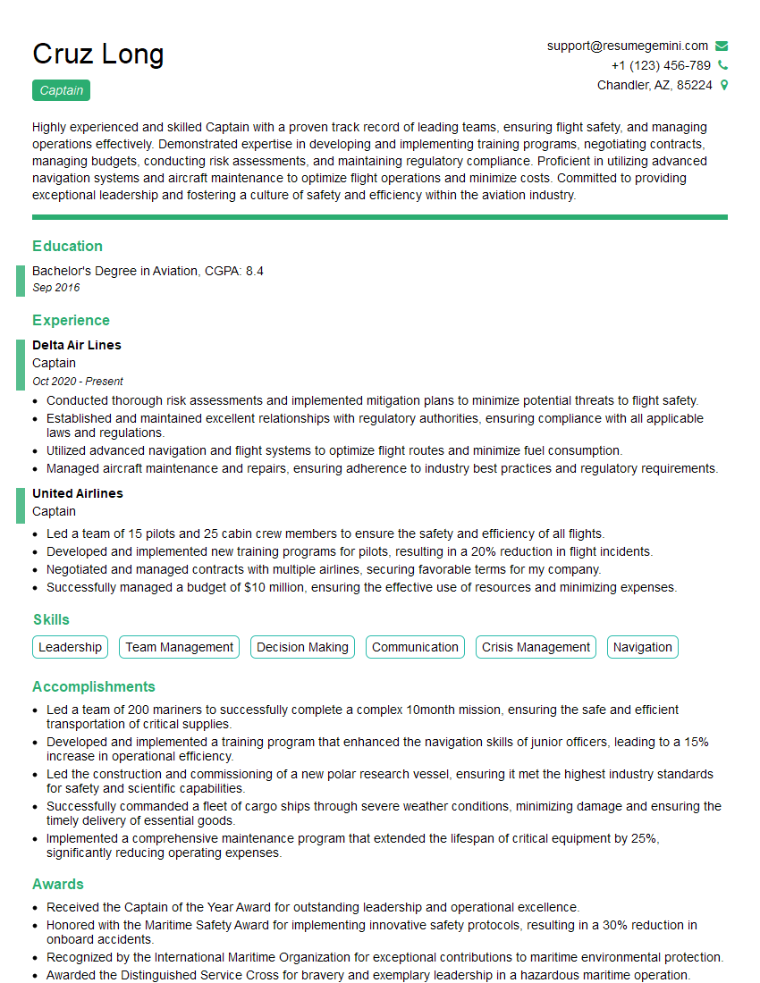
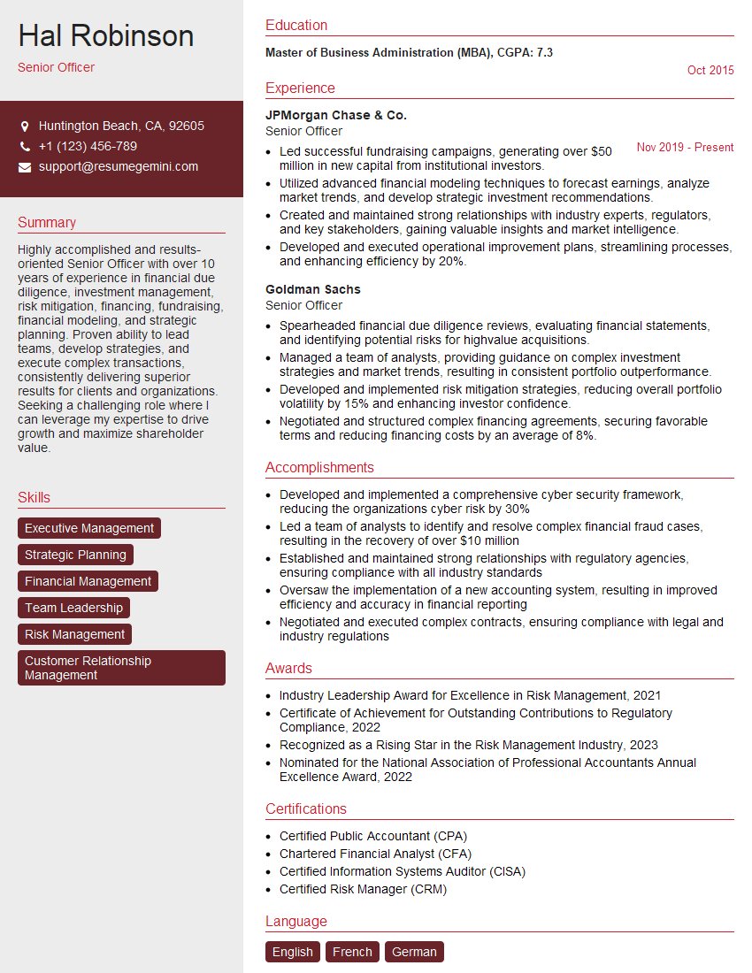
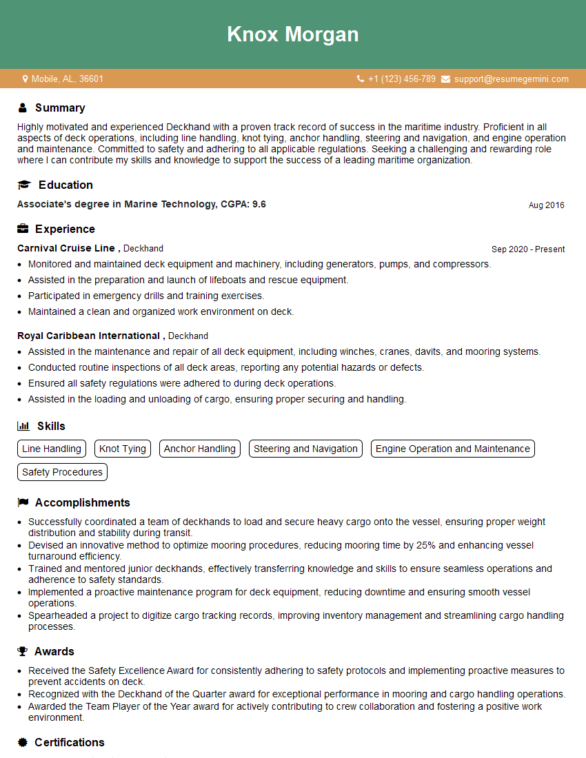
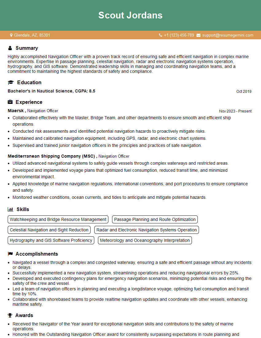
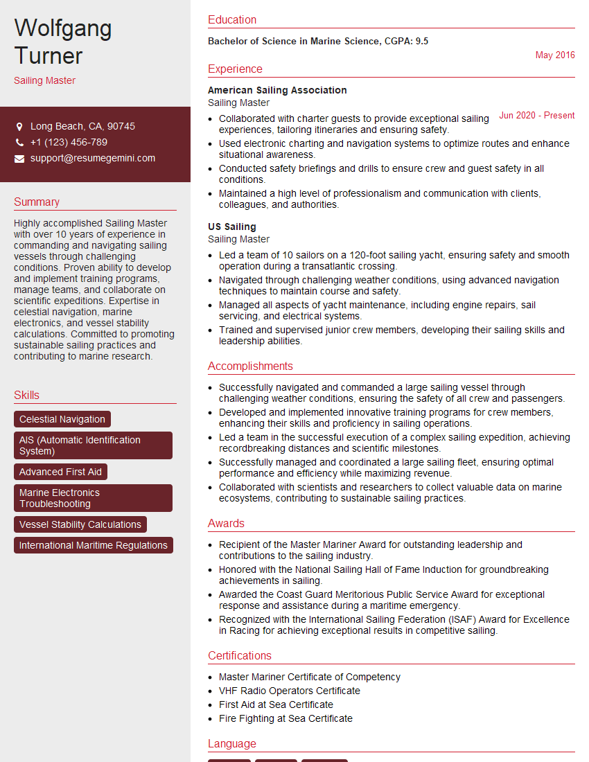
Feeling uncertain about what to expect in your upcoming interview? We’ve got you covered! This blog highlights the most important Proficient in Vessel Watchkeeping interview questions and provides actionable advice to help you stand out as the ideal candidate. Let’s pave the way for your success.
Questions Asked in Proficient in Vessel Watchkeeping Interview
Q 1. Describe the duties and responsibilities of an Officer of the Watch.
The Officer of the Watch (OOW) holds the ultimate responsibility for the safe navigation and operation of the vessel during their watch. This is a demanding role requiring constant vigilance and decisive action. Their duties encompass a wide range of tasks, all geared towards preventing accidents and ensuring the safety of the vessel, crew, passengers, and the marine environment.
- Navigation: Maintaining a proper lookout, plotting the vessel’s course, monitoring navigational equipment (GPS, radar, etc.), and ensuring compliance with COLREGs (Collision Regulations).
- Safety: Supervising the crew, conducting safety checks, responding to emergencies, and maintaining proper communication with other vessels and shore-based authorities.
- Communication: Maintaining effective communication via VHF radio, GMDSS, and other means, reporting incidents, and receiving and acting upon navigational warnings.
- Maintenance: Overseeing routine maintenance tasks relevant to the watch, such as checking engine room logs and other vital systems.
- Documentation: Maintaining accurate records of events, courses steered, and other relevant information in the ship’s logbook.
For example, during a night watch, the OOW would constantly monitor the radar for potential collisions, adjust the course as necessary to maintain safe separation, and record all relevant information in the logbook. They are also responsible for ensuring the bridge team maintains a high level of situational awareness.
Q 2. Explain the importance of maintaining a proper lookout.
Maintaining a proper lookout is paramount for safe navigation, as it’s the first line of defense against collisions, grounding, and other hazards. A vigilant lookout allows for early detection of potential dangers, giving the OOW ample time to react and avoid an incident. Imagine driving a car without looking – it’s incredibly dangerous. The same principle applies at sea, except the consequences can be far more severe.
A proper lookout involves more than just visually scanning the horizon. It involves actively searching for other vessels, obstructions, navigational markers, and any other potential hazards. This might include using binoculars, radar, and other navigational aids. The lookout should be able to identify and report potential dangers promptly and accurately to the OOW. Poor lookout practices can lead to serious accidents with devastating consequences.
Q 3. What are the different types of navigational warnings and how are they disseminated?
Navigational warnings, also known as NAVTEX, broadcast crucial information to mariners about potential hazards at sea. These warnings are essential for safe navigation and can range from weather alerts to reports of floating debris, restricted areas, or even piracy threats.
- Weather Warnings: Severe weather conditions like storms, hurricanes, or fog, providing information on intensity, location, and forecast.
- Navigational Warnings: Information on changes to aids to navigation (ATON), such as lighthouses being out of service or new obstructions appearing.
- Safety Warnings: Notices about icebergs, dangerous wrecks, floating debris, or other potential hazards.
- Notices to Mariners (NTMs): Regular publications from maritime authorities containing corrections to charts, changes in regulations, etc.
These warnings are disseminated through various channels, primarily through the Global Maritime Distress and Safety System (GMDSS) using NAVTEX broadcasts, Inmarsat-C, or via radio broadcasts on designated frequencies. Furthermore, updated charts and publications play a vital role in disseminating information about changes in navigational conditions.
Q 4. How do you handle a collision situation?
Handling a collision situation requires immediate and decisive action. The primary goal is to avoid a collision, or minimize the damage if a collision is unavoidable. The steps involved are:
- Assess the situation: Determine the other vessel’s course and speed, assess the risk of collision, and identify any potential obstacles.
- Take evasive action: If a collision is imminent, take immediate action to avoid it. This may involve altering course, changing speed, or using any available maneuvering aids.
- Sound appropriate signals: Use the ship’s horn to signal the other vessel and indicate your intentions.
- Communicate: Establish contact with the other vessel via VHF radio to coordinate actions and exchange information.
- Document the incident: Record all relevant details in the ship’s logbook, including time, location, other vessel details, actions taken, and any damages incurred.
- Render aid: If a collision occurs, provide assistance to those in need according to the established maritime procedures and international regulations.
For example, if radar indicates a close-quarters situation with another vessel on a collision course, the OOW should immediately alter course or speed to maintain a safe distance. They would simultaneously sound the appropriate horn signals and attempt to communicate with the other vessel.
Q 5. Describe your experience with GMDSS.
My experience with the Global Maritime Distress and Safety System (GMDSS) is extensive. I’m proficient in using all the GMDSS equipment, including the Inmarsat-C, EPIRB (Emergency Position-Indicating Radio Beacon), and VHF radio. I understand the procedures for distress alerts, safety calls, and routine communications. I’ve participated in numerous GMDSS drills and have a clear understanding of the responsibilities associated with operating within the GMDSS framework.
For example, I’ve used Inmarsat-C to send routine safety messages, such as notifying port authorities of our arrival time and reporting our position regularly. I’ve also participated in drills simulating distress situations, ensuring my readiness to effectively utilize the EPIRB and VHF radio to alert relevant authorities in case of an emergency.
GMDSS proficiency is not just about knowing how to operate the equipment; it’s about understanding the procedures and regulations involved in maritime communication and distress response. It’s about saving lives and preventing accidents.
Q 6. How do you use radar and ARPA effectively during watchkeeping?
Radar and Automatic Radar Plotting Aid (ARPA) are indispensable tools for safe navigation, especially in conditions of reduced visibility. Effective use requires understanding their limitations and capabilities.
Radar: Provides a visual representation of surrounding vessels and obstacles. I use it to identify targets, measure range and bearing, and assess their courses and speeds. I also utilize radar to monitor weather patterns and identify potential hazards. Crucially, I’m aware of radar limitations, such as the effect of sea clutter, rain, and other weather phenomena on target detection.
ARPA: This system automates some of the tasks associated with radar interpretation. I use ARPA to track selected targets, predict their future positions, and calculate CPA (closest point of approach) and TCPA (time to closest point of approach). This helps in assessing collision risks and taking appropriate action. However, I remain vigilant and do not solely rely on ARPA, always cross-referencing its data with visual observations and other navigational aids.
The combination of radar and ARPA provides a powerful tool for collision avoidance, allowing for proactive and informed decision-making. However, it’s critical to remember that these are tools, and their effective use depends on the mariner’s skills and judgment.
Q 7. Explain the procedures for entering and leaving port.
Entering and leaving port involves a structured process to ensure safe and efficient transit. Procedures vary depending on the port, vessel type, and local regulations, but common steps include:
- Pre-arrival planning: Reviewing charts, publications, and port information, including pilot boarding arrangements and any specific instructions.
- Communication: Contacting port authorities to announce arrival, obtain permission to enter, and request pilot services if required.
- Approach and maneuvering: Following established traffic separation schemes, using appropriate aids to navigation, and maintaining safe speed and distance from other vessels and obstructions.
- Pilot boarding: If required, a pilot will be taken onboard to assist with navigation within the port.
- Berthing/Mooring: Securing the vessel at the designated berth, using mooring lines and fenders.
- Departure: Notifying port authorities of intended departure time, casting off mooring lines, and following established procedures for leaving the port.
Safety is paramount throughout the process. Constant monitoring of the vessel’s position, speed, and surrounding environment is crucial. A thorough understanding of local regulations, traffic schemes, and potential hazards is essential for safe and efficient port entry and departure.
Q 8. What are the regulations regarding bridge resource management (BRM)?
Bridge Resource Management (BRM) is a systematic approach to managing the resources available on the bridge to ensure safe and efficient navigation. Regulations regarding BRM aren’t codified as a single, specific regulation, but rather are embedded within various international conventions and national legislation. The International Maritime Organization (IMO) strongly promotes BRM principles through its publications and training guidelines. Key regulations indirectly supporting BRM include the International Convention on Standards of Training, Certification and Watchkeeping for Seafarers (STCW) which emphasizes teamwork, leadership, and communication skills – all crucial elements of effective BRM. National maritime administrations often incorporate BRM principles into their own regulations concerning safe navigation practices. For example, many flag states require companies to implement a Safety Management System (SMS) that incorporates BRM principles into their operational procedures. Essentially, compliance with existing safety and operational regulations implicitly requires effective BRM implementation.
The core of BRM is about optimizing human performance by effectively utilizing available resources, including personnel, equipment, information, and time. Failure to adequately utilize these resources can lead to human error, which is a major cause of marine accidents. Therefore, effective BRM is crucial for maintaining a high level of safety at sea.
Q 9. How do you handle emergencies, such as man overboard or fire?
Emergency procedures are rigorously drilled and practiced on board. Responding to a ‘man overboard’ (MOB) involves immediate action. The first priority is to keep sight of the person. The ship’s heading is immediately altered to begin a search pattern, and a MOB alarm is sounded. The location of the MOB is recorded, using GPS, radar, or even visual reference points. Then, the rescue boat is deployed with trained crew, while the ship continues searching in a pre-determined pattern. Once recovered, medical assistance is provided. This is often practiced using drills and regularly evaluated.
In case of a fire, the priority is to contain and extinguish it while ensuring the safety of the crew and passengers. The ship’s fire plan is activated immediately. This involves locating and using the nearest fire-fighting equipment, while simultaneously sounding the fire alarm and calling for assistance. The bridge team coordinates efforts to evacuate the vessel if necessary, or to deploy life rafts if evacuation becomes unavoidable. Fire-fighting is a team effort and regular drills are essential to ensure effective response.
Q 10. What are the different types of fog signals and when are they used?
Fog signals are crucial for preventing collisions in conditions of restricted visibility. The type of signal used depends on the vessel’s status and the circumstances. The International Regulations for Preventing Collisions at Sea (COLREGs) dictate the use of these signals.
- One prolonged blast: indicates the vessel’s underway.
- Two prolonged blasts: signifies that a vessel is changing course to starboard.
- Three prolonged blasts: indicates a vessel is altering its course to port.
- One prolonged blast followed by two short blasts: This signal warns that the vessel is making way and cannot alter its course.
- One short, one prolonged, and one short blast: A vessel underway restricted in its ability to maneuver.
- Vessels at anchor: use a bell or gong to signal their presence at regular intervals.
The frequency and duration of these signals are carefully defined to ensure clarity. Effective use of fog signals, combined with radar and other navigational aids, is critical to safe navigation in reduced visibility.
Q 11. Describe your experience with chartwork and navigation.
My experience with chartwork and navigation is extensive, encompassing both traditional paper charts and modern electronic systems. I’m proficient in plotting positions, calculating courses and distances, determining compass errors, and using various navigational aids, including GPS, radar, and gyrocompass. I have experience with different types of charts, including nautical charts, harbour charts, and approach charts. In my previous roles, I have successfully navigated vessels through complex waterways, coastal areas, and open oceans, consistently maintaining safe and efficient passages. I regularly practice plotting exercises to maintain my proficiency. A recent example involved navigating a vessel through a busy shipping lane in challenging weather conditions, using a combination of traditional piloting techniques and electronic charting systems to safely reach my destination.
Q 12. Explain the use of electronic charts and navigation systems (ECDIS).
Electronic Chart Display and Information Systems (ECDIS) are now the standard for navigation on many vessels. ECDIS provides a digital representation of nautical charts, combining navigational information with other data sources like GPS, radar, and AIS. The system offers several advantages over traditional paper charts: improved accuracy, simplified chart updates, and increased situational awareness. ECDIS can display various layers of information, including depth contours, navigation hazards, and vessel traffic. It can also calculate routes, perform various calculations, and provide alarms for safety warnings such as shallow water or close-quarters situations. ECDIS also offers features such as route planning, voyage data recording, and various safety warnings. Proper training and certification are crucial for safe and efficient use of ECDIS.
Q 13. How do you maintain situational awareness during watchkeeping?
Maintaining situational awareness is paramount during watchkeeping. It involves continuously monitoring the vessel’s position, speed, course, and surrounding environment, including other vessels, weather conditions, and potential hazards. I utilize a combination of tools and techniques to achieve this. This includes regularly checking the radar, GPS, AIS, and electronic charts, as well as visually scanning the horizon and using binoculars. I also maintain open communication with the bridge team and other relevant personnel. Regularly assessing the weather forecasts and predictions and adjusting our navigation plan based on these conditions is crucial. Furthermore, anticipation of future events, based on the vessel’s course and surrounding traffic, is key to avoiding potential hazards.
Maintaining a well-organized bridge and ensuring clear communication within the team also contributes significantly to maintaining situational awareness. A good example of this is identifying a potential collision risk on the radar, and immediately using the VHF radio to contact the other vessel to warn them and prevent an incident.
Q 14. What are the requirements for maintaining a safe speed in restricted visibility?
In restricted visibility, maintaining a safe speed is crucial for preventing collisions. COLREGs mandate that a vessel proceeds at a safe speed, meaning a speed appropriate to the prevailing conditions and circumstances and such that the vessel can take proper and effective action to avoid collision and be stopped within a distance appropriate to the prevailing circumstances and conditions. This means slowing down significantly to reduce the distance required to stop, depending on visibility and other factors like sea state and traffic density. In very low visibility, the safe speed might be reduced to near zero, allowing for frequent checks of the radar, use of fog signals, and regular bridge team discussions to maintain situational awareness.
A safe speed is not merely a slow speed, rather it is a speed at which the Officer of the Watch maintains an adequate level of control of the ship, ensuring that in the event of sudden loss of visibility, the vessel can react appropriately. Regular assessment of situational awareness is key, adjusting speed and course proactively to ensure maximum safety.
Q 15. Describe your understanding of COLREGs.
COLREGs, or the International Regulations for Preventing Collisions at Sea, are a set of rules designed to prevent collisions and promote safe navigation. Think of them as the ‘rules of the road’ for ships. They cover everything from lights and shapes vessels must display at night and in restricted visibility to the actions to be taken when two vessels are approaching each other. Understanding COLREGs is paramount for safe watchkeeping.
The rules are categorized by situations, such as crossing, overtaking, and head-on situations. Each situation dictates the responsibilities of each vessel involved. For example, in a head-on situation, both vessels must alter course to starboard (right) to pass safely. A thorough knowledge of the rules, including their exceptions and the application of the general principles, such as ‘rules of good seamanship’, is critical for preventing accidents.
My understanding includes not just memorizing the rules, but also understanding the underlying principles of risk assessment and decision-making in challenging navigational conditions. I’ve extensively practiced applying COLREGs in various scenarios, including simulator training and real-life navigation, ensuring a safe and efficient passage.
Career Expert Tips:
- Ace those interviews! Prepare effectively by reviewing the Top 50 Most Common Interview Questions on ResumeGemini.
- Navigate your job search with confidence! Explore a wide range of Career Tips on ResumeGemini. Learn about common challenges and recommendations to overcome them.
- Craft the perfect resume! Master the Art of Resume Writing with ResumeGemini’s guide. Showcase your unique qualifications and achievements effectively.
- Don’t miss out on holiday savings! Build your dream resume with ResumeGemini’s ATS optimized templates.
Q 16. How do you conduct a proper passage plan?
A proper passage plan is a crucial element of safe navigation. It’s essentially a detailed roadmap for a voyage, ensuring a safe and efficient journey. It’s not just a route on a chart; it’s a comprehensive plan considering various factors.
- Gathering Information: This involves checking weather forecasts, navigational warnings, tidal information, and relevant publications. We also consider vessel limitations (draft, speed, etc.)
- Chart Work: Plotting the course on the charts, identifying potential hazards, and selecting appropriate waypoints. This stage often involves detailed calculations to account for currents and tides.
- Contingency Planning: Identifying potential problems (e.g., engine failure, bad weather) and formulating backup plans. This might involve selecting alternate routes or anchorages.
- Documentation: Recording all relevant information, including the planned route, estimated times of arrival (ETAs), and contingency plans. This documentation is vital for accountability and efficient communication.
For example, during a passage across the North Atlantic, I’d meticulously examine weather forecasts for potential storms, plan for alternate routes in case of high winds, and ensure sufficient fuel and provisions for any delays. The passage plan is regularly reviewed and adjusted based on the changing conditions during the voyage.
Q 17. How do you handle a medical emergency onboard?
Handling a medical emergency onboard requires swift action and adherence to established procedures. The priority is to stabilize the patient and then seek appropriate medical assistance.
- Initial Assessment: Quickly assess the nature and severity of the injury or illness. This involves checking vital signs (pulse, breathing, etc.).
- First Aid: Provide appropriate first aid treatment based on the situation and available resources. This often involves using our onboard medical kit and communicating with medical professionals via radio or satellite communication.
- Contacting Medical Assistance: Contacting medical professionals ashore or via satellite communication to get advice on treatment and arrange for evacuation if necessary. This often includes relaying the patient’s vital signs and medical history.
- Evacuation Planning: If evacuation is necessary, coordinating with the appropriate authorities and preparing the patient for transfer to a medical facility.
During one voyage, we had a crew member suffer a severe allergic reaction. We immediately initiated first aid, contacted our company’s medical advisor via Inmarsat, and adjusted our course to meet a nearby ship for medical evacuation. Effective communication and a systematic approach were crucial in ensuring a positive outcome.
Q 18. Explain the procedures for conducting a safety drill.
Safety drills are crucial for ensuring the crew’s preparedness in case of emergencies. These drills should be conducted regularly and encompass various scenarios.
- Abandon Ship Drill: Practicing the procedures for abandoning the vessel, including the use of lifeboats and life rafts, and assembling at designated muster stations.
- Fire Drill: Simulating fire scenarios, practicing the use of fire extinguishers and other firefighting equipment, and evacuating the affected area.
- Man Overboard Drill: Practicing the procedures for rescuing a person who has fallen overboard. This involves using the man overboard system, accurately marking the position of the person, and initiating the rescue operation.
- Emergency Shutdown Drill: Practicing the procedure for shutting down the main engine and other vital systems, simulating an emergency situation.
These drills need to be documented meticulously. After each drill, debriefing is critical. We discuss what went well and identify areas for improvement, ensuring continuous learning and improvement in our emergency response capabilities. The crew’s active participation and feedback is crucial to the effectiveness of the drills.
Q 19. How do you manage crew fatigue during long voyages?
Managing crew fatigue on long voyages is vital for safety and efficiency. Fatigue can significantly impair judgment and reaction time, increasing the risk of accidents.
- Rostering and Watchkeeping: Implementing a proper watchkeeping system that adheres to international regulations and allows for adequate rest periods. This often involves rotating watches to ensure adequate sleep and rest.
- Crew Wellbeing Initiatives: Providing access to comfortable rest areas, promoting good nutrition and hydration, and encouraging exercise and relaxation techniques. Regular breaks during longer watches also help.
- Monitoring Fatigue Levels: Actively monitoring crew members for signs of fatigue and addressing any concerns promptly. This might involve regular check-ins and open communication.
- Education and Training: Educating the crew on the importance of adequate rest and providing training on fatigue management techniques. Emphasizing the importance of reporting fatigue is crucial.
On a recent long voyage, we implemented a system of rotating watches with mandatory rest periods, along with regular ‘wellness checks’. This ensured the crew remained alert and able to perform their duties effectively throughout the trip. The implementation of regular communication and open dialogue on the topic of fatigue amongst crew is extremely beneficial.
Q 20. What are the different types of vessel traffic services (VTS) and how do you interact with them?
Vessel Traffic Services (VTS) are systems designed to improve the safety and efficiency of vessel traffic in busy waterways. They utilize various technologies to monitor vessel movements and provide navigational advice.
- Harbor VTS: Operates within port areas, providing assistance with berthing, unberthing, and navigating congested waters. Often provides traffic management and assistance during emergency situations within the port.
- Coastal VTS: Covers larger coastal areas, providing navigational information, weather updates, and assistance to vessels transiting busy shipping lanes. They usually cover larger areas and utilize radar and AIS to monitor vessel movements.
- Offshore VTS: Extends beyond coastal waters, often focusing on specific offshore areas with significant traffic, such as oil platforms or wind farms. Primarily focused on safety and coordination between vessels, particularly in challenging conditions.
Interaction with VTS involves maintaining a continuous listening watch on the designated VHF channel and responding promptly to any queries or instructions. We regularly provide our position, course, and speed and report any relevant information, such as potential hazards or changes in our intended plans. Clear and concise communication is crucial to prevent misunderstandings and ensure safe navigation. I have extensive experience communicating with various VTS systems worldwide and complying with their instructions.
Q 21. Describe your experience with cargo handling and securing.
Cargo handling and securing is a critical aspect of my responsibilities. It requires a meticulous approach to ensure both the safety of the crew and the integrity of the cargo.
- Pre-loading Checks: Inspecting the cargo holds and securing equipment to ensure they are fit for purpose before loading commences.
- Cargo Loading Supervision: Supervising the loading operations to ensure the cargo is properly stowed and secured according to the cargo securing manual and international standards.
- Securing Procedures: Using appropriate lashing materials and techniques to secure the cargo effectively, ensuring that it can withstand the stresses of the voyage. This often involves checking the tension and placement of securing equipment regularly.
- Post-loading Checks: Conducting thorough inspections of the stowed cargo to verify its stability and securement after loading is complete.
During my time on container vessels, I’ve gained significant experience in securing different types of cargo. For example, heavy machinery requires special attention to weight distribution and securing points. Always following the cargo securing plan and adhering to the safety regulations are paramount. Thorough understanding of the vessel’s stability and the impact of cargo loading is crucial.
Q 22. Explain the importance of maintaining a clean and organized bridge.
A clean and organized bridge is paramount for safe and efficient watchkeeping. Think of it like a surgeon’s operating room – clutter and disorganization increase the risk of errors and accidents. A well-maintained bridge ensures all equipment is readily accessible, reducing response time to emergencies. It also promotes better situational awareness and reduces stress, crucial factors in preventing human error.
- Improved Situational Awareness: A cluttered bridge obscures vital instruments and charts, hindering the officer’s ability to quickly assess the situation.
- Reduced Response Time: Knowing the exact location of every piece of equipment saves precious seconds in an emergency.
- Enhanced Teamwork: A tidy workspace fosters a more professional and collaborative environment among the bridge team.
- Prevents Equipment Damage: Proper storage protects sensitive equipment from damage and premature wear.
For example, during a sudden squall, if the radar plotter is buried under charts, valuable time is lost trying to locate and activate it. Maintaining a clean bridge is a proactive measure to mitigate such risks.
Q 23. How do you use weather information to make safe navigation decisions?
Weather information is critical for safe navigation. It allows us to anticipate potential hazards and adjust our course or speed accordingly. We use various sources like meteorological broadcasts (NAVTEX, weather fax), satellite imagery, and specialized weather apps to gather data on wind speed and direction, wave height, visibility, and significant weather events like storms or cyclones.
For instance, if a forecast predicts high winds and heavy seas in our planned route, we might choose to alter the course to a calmer area or delay our departure until conditions improve. We would also adjust speed to ensure the vessel’s stability and to minimize the risk of damage. Analyzing weather patterns helps us make informed decisions to ensure the safety of the vessel, crew, and cargo.
It’s not just about avoiding storms; it’s about proactively managing the entire spectrum of weather conditions. Even seemingly minor factors, like fog or reduced visibility, require careful consideration and adjusted procedures like slowing the vessel and increasing lookout vigilance.
Q 24. Describe your experience with maintaining ship’s logs.
Maintaining accurate and timely ship’s logs is a fundamental aspect of my watchkeeping responsibilities. These logs serve as the official record of the vessel’s operations, including navigation, engine room performance, and any significant events. My experience includes meticulously documenting all entries, ensuring they are concise, clear, and adhere to the company’s and international maritime regulations (SOLAS).
- Navigation Log: Records course, speed, position, and any navigational changes.
- Engine Room Log: Details engine performance, fuel consumption, and any maintenance activities.
- Event Log: Documents significant occurrences such as port entries/exits, weather changes, equipment malfunctions, and any incidents or near misses.
I’ve always prioritized accuracy, ensuring all entries are verified and double-checked, especially regarding sensitive data like position and time. I also ensure that the logs are securely stored and readily available for inspection by authorities. A well-maintained logbook is not only crucial for legal compliance but also serves as a valuable resource for post-voyage analysis and incident investigation.
Q 25. What are the different types of navigational aids and how are they used?
Navigational aids are essential tools for safe navigation. They help determine the vessel’s position, avoid hazards, and guide us through restricted waters. These aids can be broadly categorized into:
- Lighthouses and Buoys: Provide visual guidance, often equipped with lights and distinctive markings to indicate channels and hazards.
- Radio Aids to Navigation (AtoN): Transmit signals (e.g., VHF, DGPS) providing range, bearing, and position information.
- Electronic Charts and Navigation Systems (ECDIS): Integrate various data sources including charts, GPS, and AIS to provide a comprehensive navigation picture.
- GPS (Global Positioning System): Provides precise three-dimensional positional data.
For example, when navigating a narrow channel, I would rely on buoys and channel markers to ensure the vessel stays within the designated safe passage. GPS and ECDIS are then used to confirm position and plot the course accurately. The information from all these aids is combined to form a complete and dependable navigational picture. Effective use requires a strong understanding of their characteristics and limitations.
Q 26. Explain the principles of safe navigation practice.
Safe navigation practices are based on several key principles, all aimed at minimizing risk and preventing accidents. These include:
- Proper Planning: Thorough voyage planning is crucial, encompassing route selection, consideration of weather forecasts, and assessment of potential hazards.
- Maintaining a Proper Lookout: Constant vigilance through visual and radar observation is essential to detect potential dangers.
- Accurate Navigation: Utilizing multiple navigation systems and regularly cross-checking positions is vital for reducing the chance of errors.
- Bridge Resource Management (BRM): Effective communication and teamwork among the bridge team are critical for efficient and safe navigation.
- Adherence to Regulations: Following all relevant international and national maritime regulations and guidelines.
Imagine navigating a busy port entrance. Proper planning would involve familiarizing yourself with the port’s layout, traffic separation schemes, and local regulations. Maintaing a proper lookout ensures that you are aware of surrounding vessels, and accurate navigation with cross-checking prevents deviations.
Q 27. Describe your experience with using AIS.
AIS (Automatic Identification System) is a vital tool for collision avoidance and enhancing situational awareness. My experience with AIS includes using it to identify and track nearby vessels, monitor their course and speed, and assess potential collision risks. I regularly monitor the AIS display on the ECDIS, paying attention to the target’s details including name, MMSI number, course, speed, and closest point of approach (CPA).
In a busy shipping lane, AIS information significantly enhances collision avoidance. I have used it to make course adjustments to maintain a safe distance from other vessels, especially in situations with limited visibility. However, it’s important to remember that AIS is not foolproof; it relies on vessels transmitting their data accurately. Therefore, visual and radar observation always remain paramount for safe navigation.
Q 28. How do you handle a deviation from the planned route?
Deviations from the planned route happen, often due to unforeseen circumstances like bad weather, navigational hazards, or changes in traffic conditions. My approach involves a systematic process:
- Assess the Situation: Determine the cause of the deviation and the level of risk it poses.
- Inform the Master: Report the deviation immediately to the Master, providing a clear explanation and proposed solutions.
- Develop an Alternative Plan: Create a safe and efficient new route, taking into account all relevant factors.
- Update Navigation Systems: Correct the planned route in the ECDIS and other navigation systems.
- Maintain Proper Lookout: Increase vigilance to ensure safe passage along the revised route.
- Document the Deviation: Make a detailed record of the deviation, its cause, and the actions taken in the ship’s log.
For instance, if strong headwinds cause a significant delay, I would inform the Master, propose a slight course adjustment to potentially reduce wind resistance, update the ECDIS accordingly, and carefully monitor the vessel’s position and progress. Proper documentation ensures that all actions are recorded for analysis and auditing purposes.
Key Topics to Learn for Proficient in Vessel Watchkeeping Interview
- Navigation: Understanding and applying principles of celestial, electronic, and visual navigation. Consider practical scenarios involving chart work, position fixing, and passage planning.
- Collision Regulations (COLREGs): Mastering the rules of the road, including situations involving restricted visibility, crossing situations, and overtaking maneuvers. Practice applying COLREGs to real-world scenarios and explain your decision-making process.
- Cargo Operations: Familiarity with safe cargo handling procedures, including loading, securing, and discharging various types of cargo. Be prepared to discuss risk assessment and mitigation strategies.
- Ship Handling: Demonstrate a thorough understanding of maneuvering a vessel in various conditions, including confined waters, strong currents, and adverse weather. Explain the factors influencing ship handling decisions.
- Emergency Procedures: Detailed knowledge of emergency response protocols, including fire fighting, man overboard procedures, and damage control. Be ready to explain your role and responsibilities in different emergency situations.
- Communication: Proficiency in using various communication systems (GMDSS, VHF radio) and effective communication techniques. Discuss examples of clear and concise communication under pressure.
- Watchkeeping Duties and Responsibilities: A clear understanding of the legal and operational responsibilities of a watchkeeping officer. Be able to describe your routine during a watch and how you maintain situational awareness.
- Meteorology and Oceanography: Understanding weather patterns, ocean currents, and tides and their impact on vessel operations. Be able to interpret weather forecasts and make informed decisions based on this information.
Next Steps
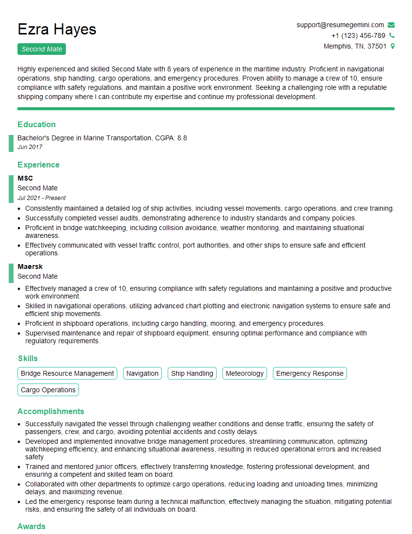
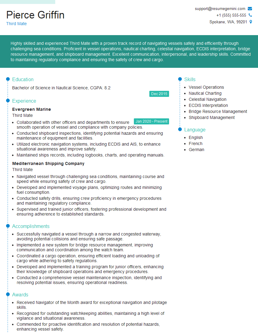
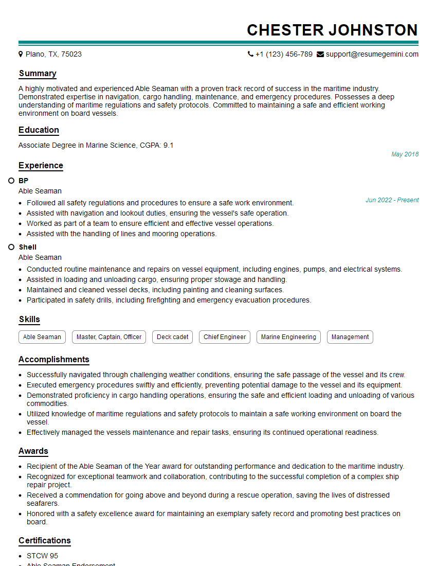
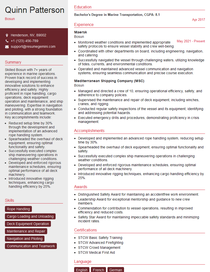
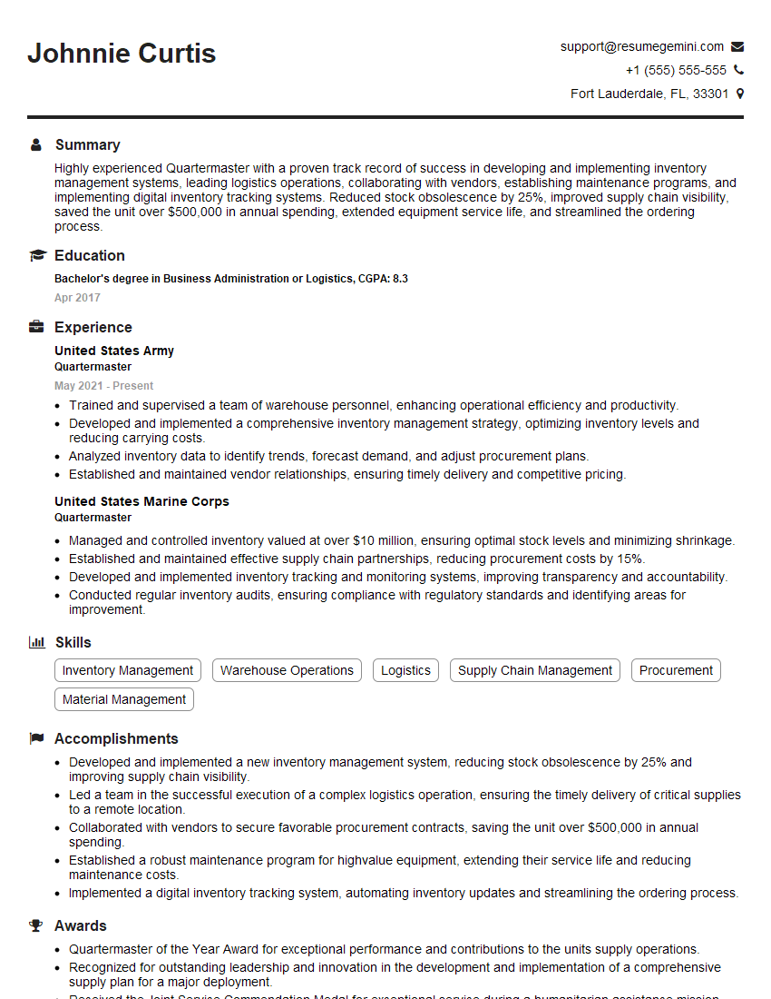
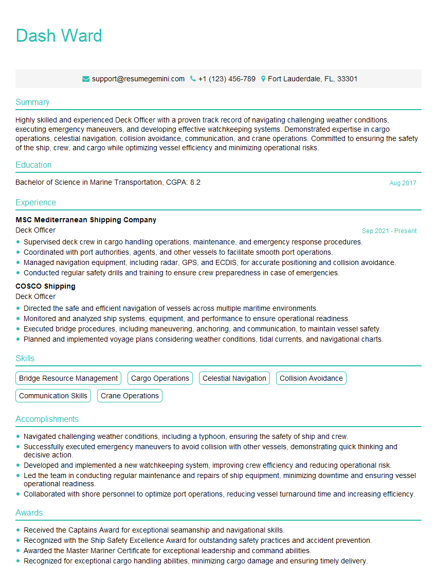
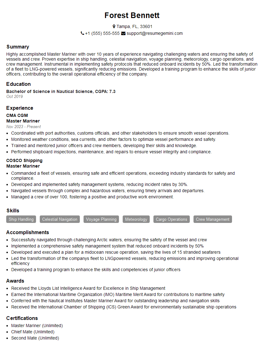
Mastering Proficient in Vessel Watchkeeping is crucial for career advancement in the maritime industry, opening doors to higher-paying positions and increased responsibilities. To significantly improve your job prospects, crafting a strong, ATS-friendly resume is essential. ResumeGemini is a trusted resource to help you build a professional and effective resume that highlights your skills and experience. Examples of resumes tailored specifically to Proficient in Vessel Watchkeeping are available to guide you through the process. Take this opportunity to showcase your expertise and secure your dream role.
Explore more articles
Users Rating of Our Blogs
Share Your Experience
We value your feedback! Please rate our content and share your thoughts (optional).
What Readers Say About Our Blog
Hi, I’m Jay, we have a few potential clients that are interested in your services, thought you might be a good fit. I’d love to talk about the details, when do you have time to talk?
Best,
Jay
Founder | CEO
