Feeling uncertain about what to expect in your upcoming interview? We’ve got you covered! This blog highlights the most important Ability to Interpret and Apply Navigation Rules interview questions and provides actionable advice to help you stand out as the ideal candidate. Let’s pave the way for your success.
Questions Asked in Ability to Interpret and Apply Navigation Rules Interview
Q 1. Explain the difference between a vessel’s ‘head’ and ‘course’.
A vessel’s head refers to the direction its bow is pointing, while its course is the direction of its intended movement through the water. Think of it like this: your car’s head might be pointing slightly to the left while you’re correcting a turn, but your course is still straight ahead. The difference is crucial in navigation, especially when dealing with currents or wind that can affect a vessel’s actual path (course) compared to its heading.
For instance, a vessel might have a heading of 090° (East) but a course of 095° due to a slight easterly current pushing it. Accurate navigation requires understanding this distinction and compensating for factors affecting the course.
Q 2. Describe the characteristics of a power-driven vessel restricted in her ability to maneuver.
A power-driven vessel restricted in her ability to maneuver is one that, due to the nature of her work or her draught, is unable to deviate from her course easily. Examples include a vessel engaged in dredging, laying cables or pipes, or a very large tanker with limited maneuverability in confined waters. These vessels display the appropriate shape and lights to warn other vessels of their limitations.
Characteristics often include reduced speed, inability to make quick turns, and a limited ability to respond to changes in the navigational environment. Other vessels are required to give way to them to avoid collisions.
Imagine a huge container ship navigating a narrow channel – its size inherently restricts its maneuverability, requiring other vessels to exercise extra caution.
Q 3. What are the rules for overtaking another vessel?
The overtaking vessel is always responsible for keeping clear of the vessel being overtaken. This means the overtaking vessel must give way to the vessel it is overtaking, regardless of the other vessel’s type. The overtaking vessel should pass at a safe distance, considering factors like the vessels’ sizes, speeds, and the available space.
An overtaking situation occurs when a vessel approaches another from a direction more than 22.5 degrees abaft the beam of the other vessel. The overtaking vessel must assess the situation carefully and take action to avoid a close-quarters situation.
For example, a fast motorboat overtaking a slower sailboat must ensure a wide berth, perhaps even slowing down to allow for a safe overtaking maneuver.
Q 4. How does the right-of-way change in a crossing situation?
In a crossing situation, the vessel with the other vessel on its starboard (right) side has right-of-way. The vessel on the port (left) side of the other vessel must give way. This is often referred to as the ‘starboard-hand rule’.
Both vessels should maintain a safe speed and course, taking into account all circumstances. If there’s any doubt, the vessel with right-of-way should sound a prolonged blast to alert the give-way vessel of its presence and intent to maintain course.
Think of it like a road intersection – the vehicle on the right usually has the right-of-way (unless otherwise indicated). Similarly, in a crossing situation, the vessel with the other vessel on its starboard side should generally maintain its course, while the other vessel gives way.
Q 5. Explain the rules for vessels in restricted visibility.
In restricted visibility (fog, heavy rain, snow, etc.), vessels must proceed at a safe speed, having regard to the prevailing circumstances and conditions of visibility. This means a speed that allows the vessel to stop within half the distance of visibility. Additionally, all vessels must make appropriate sound signals at regular intervals.
Navigation lights must be displayed, and a constant listening watch for sound signals from other vessels is essential. Every precaution should be taken to avoid collisions, potentially including reducing speed even further and increasing the frequency of sound signals.
Imagine sailing in dense fog – it’s crucial to proceed slowly, listening carefully for other vessels, and making your presence known through regular fog signals.
Q 6. What actions should you take when hearing a fog signal?
Upon hearing a fog signal, you must immediately assess the situation. The direction of the sound will help to locate the vessel making the signal. You should reduce speed or stop if necessary to avoid a collision, proceeding with extreme caution, and if necessary alter your course to avoid a close-quarters situation. Maintain a sharp lookout for other vessels, and be prepared to take evasive action.
It’s critical to use your own fog signals to make your position known to other vessels.
Q 7. Describe the procedure for making a safe passage through a narrow channel.
Safe passage through a narrow channel requires careful planning and execution. Vessels should proceed at a safe speed, keeping a good lookout and maintaining a proper course. Vessels must not impede the passage of other vessels, especially if they are overtaking or being overtaken. If there’s enough space, vessels should keep to the starboard side of the channel (unless a local regulation dictates otherwise).
Communication is key; use your whistle signals to signal intent and alert other vessels to your position and planned maneuvers. Always account for currents, tides, and any obstructions within the channel. Planning beforehand using charts and nautical publications is crucial for safe navigation of these complex situations.
Think of it like merging onto a highway – you need to assess the situation, choose a safe gap, and signal your intentions before entering. Similarly, navigating a narrow channel requires careful planning and communication.
Q 8. What are the responsibilities of a vessel displaying sidelights only?
A vessel displaying only sidelights – red and green – is a vessel making way but restricted in her ability to maneuver. Think of this like a car with its hazard lights on. It’s indicating it’s not fully in control of its movements and needs extra space. This could be due to various reasons such as being engaged in fishing, dredging, or towing a long object that limits its ability to turn quickly. The key here is that while it’s moving, it can’t easily alter its course. Therefore, other vessels must give it a wide berth and exercise extreme caution.
Example: A fishing trawler actively hauling nets might only display sidelights. It wouldn’t be able to readily alter its course to avoid another vessel due to the net’s constraints and the size of its operation.
Q 9. What lights and shapes must a vessel at anchor display?
A vessel at anchor must display an all-around white light, visible at 360 degrees. This is the primary signal that announces its presence and stationary nature. In addition to this, vessels of 50 meters or more in length must also display two vertically positioned all-around lights – one above the other.
If the visibility is less than 1 nautical mile (roughly 1.85 kilometers), vessels at anchor must also display a shape. This is usually a black ball or a black cone apex up depending on the situation and size of the vessel. This shape provides additional visual confirmation to other vessels approaching, adding further visibility to the already present light.
Think of this as a clear announcement: “I am here, I am stopped, and this is my size.” The combination of lights and shapes ensures optimal safety and prevents collisions.
Q 10. How does the International Regulations for Preventing Collisions at Sea (COLREGs) apply to sailing vessels?
COLREGs (International Regulations for Preventing Collisions at Sea) apply fully to sailing vessels. They are not exempt! Sailing vessels have specific rules that dictate their actions in various situations, similar to power-driven vessels, but some rules are adapted based on their unique characteristics. For instance, a sailing vessel must keep clear of a power-driven vessel unless the power vessel is restricted in its ability to maneuver or is not underway. The key is to understand that while sailing vessels use wind power, they are still subject to the same collision avoidance principles.
Example: A sailing vessel overtaking another vessel must give way, just as a power-driven vessel would. The rules prioritize safe navigation regardless of the method of propulsion.
Q 11. What is the significance of a vessel showing a flashing yellow light?
A flashing yellow light indicates that a vessel is engaged in activities that restrict its maneuverability, and is a signal to all vessels in the vicinity to proceed with caution. It is a more urgent and specific signal compared to only sidelights as it indicates a temporary situation which may be less obvious to passing vessels than a vessel permanently limited in maneuverability.
Example: A vessel conducting underwater operations (laying cables, divers in the water etc.) or a ship involved in rescue work might use a flashing yellow light to alert others. It’s a clear warning that the vessel’s actions will be unpredictable due to the tasks it is performing, requiring others to maintain a safe distance and adjust accordingly.
Q 12. Explain the difference between a ‘stand-on’ and a ‘give-way’ vessel.
The terms “stand-on” and “give-way” refer to the responsibilities of vessels in a close-quarters situation to avoid a collision. The give-way vessel is the one that has to take action to avoid a collision. It must alter its course and/or speed to make way for the stand-on vessel. The stand-on vessel generally maintains course and speed, but it must always take action if the give-way vessel is not taking appropriate action to prevent a collision.
Example: If two power-driven vessels are crossing, the vessel on the starboard (right) side is the stand-on vessel, and the vessel on the port (left) side is the give-way vessel. The give-way vessel must alter its course to pass safely behind the stand-on vessel. The stand-on vessel would only alter its course if it deemed the give-way vessel wasn’t taking sufficient action.
Q 13. How do you interpret a vessel’s intended action based on its lights and maneuvers?
Interpreting a vessel’s intended action requires a combined understanding of its lights, shapes, and maneuvers. Lights signal a vessel’s status (underway, at anchor, restricted maneuverability, etc.), while shapes provide additional information and maneuvers reveal its immediate course alterations.
Example: A vessel displaying red and green sidelights, making way, but then suddenly exhibiting a large alteration of course to starboard strongly suggests that it observed another vessel approaching and is taking action to avoid a collision. This interpretation requires careful observation of the vessel’s maneuvers in conjunction with its displayed lights.
Q 14. What are the rules for navigating in a traffic separation scheme?
Traffic separation schemes (TSS) are established routes designed to improve the flow of traffic in busy waterways. Within a TSS, vessels are generally expected to follow the designated lanes. Vessels should proceed along the appropriate traffic lane in the direction indicated (usually marked with buoys and other aids to navigation). It is generally prohibited to cross traffic lanes unless it is absolutely necessary or it is expressly permitted within the regulation of that TSS.
Example: If a vessel is in a TSS and needs to cross from one lane to another, it must do so at as close as possible to a right angle to the traffic flow in that lane and with extreme caution, ensuring that it does not endanger other vessels. Departures from a traffic lane should only be made in circumstances of extreme necessity and after verifying it is safe to do so.
Q 15. What precautions should you take when approaching a vessel at anchor?
Approaching a vessel at anchor requires extreme caution. Anchored vessels are often less maneuverable and may be subject to unexpected movements due to wind, currents, or tidal changes. Imagine trying to navigate a crowded parking lot – you’d exercise caution to avoid collisions, right? The same principle applies here, but with potentially much higher stakes.
- Maintain a safe distance: Always pass at a distance that allows for ample reaction time in case of unforeseen events. The exact distance depends on several factors, including vessel size, sea conditions, and visibility, but maintaining a significant safety margin is crucial.
- Assess the situation: Before approaching, carefully observe the anchored vessel’s position, surrounding environment (other vessels, obstructions), and the prevailing weather conditions. Note any signs of impending movement, like a swinging anchor.
- Adjust speed and course: Reduce speed significantly, ideally to the minimum necessary to maintain steerage way. Alter your course to provide a wide berth, passing well clear of the vessel’s stern and any potential swinging radius. Don’t underestimate the impact of wind and current on the anchored vessel’s position.
- Communicate if necessary: If in doubt, use VHF radio to establish communication with the anchored vessel. Confirm their position and intentions to avoid any misunderstandings.
- Stand on: Always stand on (maintain your course and speed) if you have the vessel at anchor to port. This is a fundamental principle of the COLREGs (International Regulations for Preventing Collisions at Sea).
Career Expert Tips:
- Ace those interviews! Prepare effectively by reviewing the Top 50 Most Common Interview Questions on ResumeGemini.
- Navigate your job search with confidence! Explore a wide range of Career Tips on ResumeGemini. Learn about common challenges and recommendations to overcome them.
- Craft the perfect resume! Master the Art of Resume Writing with ResumeGemini’s guide. Showcase your unique qualifications and achievements effectively.
- Don’t miss out on holiday savings! Build your dream resume with ResumeGemini’s ATS optimized templates.
Q 16. Explain the concept of ‘safe speed’ in relation to COLREGs.
Safe speed, as defined by COLREGs, means a speed appropriate for the prevailing circumstances and conditions so that the vessel can take proper and effective action to avoid collision and be stopped within a distance appropriate to the prevailing circumstances and conditions. It’s not just about speedometers and knots; it’s about responsible seamanship. Think of it like driving – you wouldn’t drive 60 mph in heavy fog, would you?
Factors determining safe speed include:
- Visibility: Reduced visibility (fog, rain, darkness) necessitates lower speeds to increase reaction time.
- Traffic density: Higher traffic densities mandate slower speeds to prevent collisions.
- Maneuverability: A vessel’s maneuverability is affected by factors like its size, draft, and the sea state. Less maneuverable vessels require lower speeds.
- Sea state: Heavy seas or strong currents make it harder to control a vessel, so a slower speed is necessary for safety.
- Navigation hazards: The presence of shoals, reefs, or other hazards requires reduced speed to provide enough time to react and avoid them.
Failing to maintain safe speed is a significant contributor to marine accidents. It’s a responsibility every mariner must take seriously, regardless of experience.
Q 17. Describe the procedure for using a magnetic compass in navigation.
Using a magnetic compass involves more than just looking at the needle. It’s about understanding its limitations and compensating for errors to obtain an accurate bearing. Imagine it as a precise instrument requiring careful handling and calibration.
- Compensation for Deviation: A magnetic compass is affected by ferrous metals on the vessel. Deviation is the error caused by these magnetic fields. This error must be corrected using deviation tables or by compensating the compass with adjustable magnets.
- Finding True North: The compass needle points to magnetic north, not true north. The difference is called variation, and you’ll need a nautical chart to determine this correction for the specific location.
- Taking a Bearing: To take a bearing, align the compass lubber line with the object. Note the reading carefully, compensating for deviation and variation to find the true bearing.
- Understanding Errors: Magnetic compasses are susceptible to errors from nearby electrical equipment, lightning strikes and even nearby ferrous materials during maneuvers.
- Regular Maintenance: Regularly check the compass for proper functioning and ensure it’s properly mounted and protected from vibrations and shocks.
Accurate compass use is fundamental to navigation, even in the age of GPS. It’s a skill every navigator should master, serving as a reliable backup system.
Q 18. What are the limitations of using a GPS for navigation?
While GPS is a powerful navigational tool, it has limitations:
- Satellite Availability: GPS relies on signals from satellites. Obstructions (buildings, heavy foliage, canyons), atmospheric conditions (ionospheric disturbances), or intentional jamming can affect signal reception.
- Accuracy: GPS accuracy can vary, affected by factors like atmospheric conditions and the number of satellites visible. Errors of several meters are possible.
- Reliance on Technology: GPS is an electronic system. Malfunctions, battery failure, or software glitches can render it useless. Always have backup navigational systems.
- User Error: Incorrect data entry or misunderstanding of GPS information can lead to navigational mistakes.
- Security Concerns: GPS signals can be spoofed or jammed, leading to inaccurate position information or complete failure.
Using GPS is vital, but responsible navigation includes employing multiple systems and cross-referencing data to ensure safety and accuracy. It is a critical tool, but not the sole solution for reliable navigation.
Q 19. How does a radar contribute to safe navigation?
Radar significantly enhances safe navigation by providing information about the surrounding environment, especially in conditions of reduced visibility. Think of it as providing ‘eyes’ that extend beyond the limitations of human sight.
- Detection of Vessels and Obstacles: Radar detects other vessels, landmasses, and navigational hazards, even in fog, rain, or darkness. This allows for early detection of potential collision risks.
- Range and Bearing Information: Radar displays the range and bearing of detected objects, providing crucial information for collision avoidance maneuvers. This allows you to assess the risk and plan accordingly.
- Course and Speed Information (if the target cooperates with automatic identification system or AIS): With AIS integration, radar can provide information about a target’s course and speed, improving predictions of their future positions.
- Sea State Monitoring: Some radar systems provide information about sea state, helping to assess the overall navigational conditions.
- Improved Situational Awareness: By combining radar information with other navigation data, such as charts and GPS, navigators gain a much improved understanding of their surroundings. This is crucial for safe decision-making.
Radar is a vital tool for safe navigation, particularly in challenging conditions. It complements other navigational aids rather than replacing them.
Q 20. How do you use Electronic Chart Display and Information Systems (ECDIS)?
Electronic Chart Display and Information Systems (ECDIS) are sophisticated electronic charting systems that integrate various navigational information sources. Imagine having a highly detailed, interactive nautical chart on your computer screen that updates dynamically.
- Chart Display: ECDIS shows electronic navigational charts (ENCs) with high accuracy and detail. It provides a much clearer understanding of the navigational picture than paper charts.
- Data Integration: ECDIS integrates data from various sources such as GPS, radar, AIS, and gyrocompass to provide a comprehensive situational awareness.
- Route Planning: ECDIS allows for easy route planning, taking into account navigational hazards, safe water depths and restricted areas.
- Alarm and Warning Functions: ECDIS incorporates alarm and warning functions to alert the navigator to potential dangers such as shallow water, restricted areas, or approaching vessels.
- Data Management: ECDIS manages various navigational data, including charts, route information and other important information for safe navigation.
Proper ECDIS training is essential for safe and effective operation. Understanding its capabilities and limitations is paramount to leveraging its benefits.
Q 21. What are the implications of different types of fog signals?
Different fog signals carry distinct meanings and indicate different types of vessels. Think of them as a visual language conveying the nature of the vessel and its location in fog.
- One prolonged blast: This signal indicates that the vessel is underway.
- Two prolonged blasts: This signal is used by a vessel under way that is not making way through the water.
- One short, one prolonged, and one short blast: This signal indicates a vessel that is constrained by her draught.
- Three short blasts: A power-driven vessel underway will use this signal when it is in danger of collision, in accordance with the international regulations for preventing collisions at sea.
- Four short blasts: This signal is a signal for indicating a vessel fishing with nets.
- Five or more short blasts: A power-driven vessel underway using a special signal for vessels that are unable to navigate as required by the rules.
Understanding these signals is critical in fog for avoiding collisions. Mariners must be familiar with the various signals and know how to interpret them.
Remember: The sound of fog signals can vary depending on the size and type of vessel, atmospheric conditions, and the distance from the sound source. Be attentive and cautious even when using fog signals.
Q 22. Explain the significance of nautical charts in safe navigation.
Nautical charts are the foundation of safe navigation, providing a detailed picture of the maritime environment. Think of them as highly specialized maps, but for the sea. They depict water depths, hazards like rocks and shoals, navigational aids like buoys and lighthouses, and details of the coastline. Without accurate charts, safe passage is impossible. For example, a chart will clearly show a dangerous reef submerged just below the surface, allowing a navigator to plan a safe route around it. It also displays information about tides and currents which directly impact a vessel’s course and speed, preventing potential grounding or collisions.
Different chart types exist, catering to specific needs. Harbour charts offer detailed information about ports and anchorages, while general charts cover larger areas, providing an overview of coastal features and navigable waterways. Electronic charts (ENCs) now widely supplement paper charts, offering dynamic updates and improved integration with other navigation systems. These charts are not just static images, but critical tools that provide the situational awareness needed for safe and efficient navigation.
Q 23. How do you interpret different buoyage systems?
Interpreting buoyage systems requires understanding the different regional systems used worldwide. The two most common are the IALA (International Association of Marine Aids to Navigation and Lighthouse Authorities) System A and System B. These systems use lateral markers (buoys marking the edges of a channel) and cardinal markers (buoys indicating danger areas). System A, used in the Americas, the Philippines, and other regions, has red buoys to port (left) when entering a channel from seaward, while green buoys are to starboard (right). System B, used in Europe, Africa, and many other regions, has the opposite convention: green to port and red to starboard. This is crucial as misinterpreting a buoy could lead to grounding or collision.
Cardinal buoys indicate the direction of danger. For example, a buoy displaying a black cross on a yellow background would indicate danger from all directions.
Recognising these different systems and regional variations is paramount for safe navigation. Failure to do so can lead to dangerous situations, especially in areas with overlapping systems or inadequate chart information. Therefore, a thorough understanding of the local buoyage system, based on the area’s regional regulations, is fundamental for safe navigation.
Q 24. What are the responsibilities of a vessel in a crowded waterway?
In crowded waterways, vessels have a responsibility to maintain a proper lookout, navigate at a safe speed, and avoid impeding the passage of other vessels. This includes adhering to the Rules of Navigation (COLREGs), which prioritize avoiding collisions and maintaining safe distances. For instance, a vessel in a narrow channel must give way to vessels proceeding upstream (COLREG Rule 9). A vessel overtaking another must keep out of the way of the vessel being overtaken (COLREG Rule 13). Failing to exercise such diligence can lead to a collision.
Additionally, effective communication, via VHF radio, is essential in coordinating maneuvers with other vessels to prevent collisions. Good seamanship dictates a vessel should always be prepared to take action to avoid collision, even if the other vessel is at fault. Proper speed and adequate distance between vessels are key factors in the prevention of accidents.
Imagine a busy harbor entrance: effective communication, maintaining speed, and following COLREGs are crucial to avoid a potentially disastrous situation. Good situational awareness is not just about seeing other vessels, but understanding their intentions and potential actions.
Q 25. Describe the steps taken during a collision avoidance maneuver.
Collision avoidance is a multi-step process involving constant vigilance and decisive action. First, a proper lookout must be maintained to identify any potential risk of collision. Once a risk is identified, the navigator must assess the situation, considering factors like the other vessel’s course, speed, and potential maneuvers. The next step involves taking appropriate action to avoid collision, typically through altering course or speed. This might involve making a large or small adjustment to one’s course, depending on the circumstances. It’s important to make the maneuver early enough and in a way that is easily seen and understood by the other vessel.
If possible, the action should be taken well in advance to avoid any sudden, dangerous maneuvers. Communication via VHF radio is essential to coordinate with other vessels during the avoidance maneuver. Finally, after the maneuver is completed, the navigator should continue to maintain a proper lookout and monitor the situation to ensure that the risk of collision has been eliminated. A good collision avoidance maneuver is effective, safe, and predictable; avoiding any sudden or erratic movements that could confuse other vessels.
Q 26. What are the communication protocols used in navigating crowded waters?
VHF radio is the primary communication tool in crowded waters. Standard maritime VHF channels are used to communicate with other vessels, harbor authorities, and coastal stations. For example, Channel 16 is the main hailing channel, used to initiate contact and issue urgent calls. Other channels are designated for specific purposes, such as navigational warnings or distress calls. The communication should be clear, concise, and in accordance with standard maritime communication protocols. This includes identifying your vessel, stating your intentions, and confirming receipt of any messages received.
Beyond VHF radio, Automatic Identification Systems (AIS) provide automated vessel tracking and position reporting. AIS data displays on chart plotters and other navigation systems, helping to improve situational awareness in crowded environments. Although AIS is a valuable tool, it’s vital to remember that it’s a supplementary system; a visual lookout remains crucial.
Effective communication depends on clear diction and adherence to established procedures. Understanding standard maritime phrases (e.g., ‘Mayday’, ‘Pan Pan’) is critical in handling urgent situations.
Q 27. How do you assess navigational risks based on weather conditions?
Assessing navigational risks based on weather conditions involves considering several factors. Strong winds, high seas, reduced visibility due to fog or rain, and severe storms dramatically increase navigational risks. These conditions can affect maneuverability, visibility, and the safety of the vessel. For instance, strong winds can push a vessel off course, while reduced visibility significantly limits the ability to see other vessels or navigational hazards.
Navigational risk assessment requires consulting weather forecasts and advisories, assessing the vessel’s capabilities in the anticipated conditions, and planning accordingly. This could involve altering the route, delaying departure, or seeking shelter. For example, facing a predicted storm, delaying departure or finding a sheltered anchorage is prudent to avoid the dangers of severe weather at sea. The assessment is an ongoing process; weather conditions can change rapidly, and the navigator must continually adapt their plans and actions.
Q 28. What actions would you take if you lost your GPS signal in critical navigation?
Losing a GPS signal in critical navigation requires a swift response. The first step is to immediately switch to backup navigation systems. This usually involves relying on traditional methods like paper charts, compass, and sextant for celestial navigation (if proficient). Also, visual navigation becomes crucial, using landmarks and other visual references to maintain position. It is crucial to slow down and exercise extreme caution to avoid any collisions or grounding, as you have less precise navigation.
Contacting nearby vessels or coastal authorities via VHF radio can provide assistance, offering position updates or other valuable information. Once the GPS signal is lost, a calm and methodical approach is crucial. Prioritizing safety and relying on backup navigation systems significantly reduces risks in such circumstances.
Key Topics to Learn for Ability to Interpret and Apply Navigation Rules Interview
- Understanding Chart Symbols and Abbreviations: Mastering the interpretation of nautical charts, including symbols representing aids to navigation, hazards, and depths.
- Applying COLREGs (International Regulations for Preventing Collisions at Sea): Demonstrating a thorough understanding of the rules of the road and their practical application in various scenarios.
- Navigation Planning and Route Selection: Explaining the process of planning a safe and efficient route, considering factors like weather, currents, and traffic.
- Utilizing Electronic Chart Display and Information Systems (ECDIS): Showing proficiency in using ECDIS for navigation, including chart updating, route planning, and alarm management.
- Dead Reckoning and Position Fixing: Understanding the principles of dead reckoning and various position-fixing techniques, including GPS, Loran, and visual fixes.
- Error Analysis and Mitigation: Discussing strategies for identifying and correcting potential errors in navigation calculations and data interpretation.
- Emergency Procedures and Response: Explaining how to respond to various navigational emergencies, such as loss of power, equipment failure, or collision avoidance.
- Understanding Tides, Currents, and their impact on Navigation: Demonstrating knowledge of tidal and current patterns and their effect on vessel’s position and speed.
Next Steps
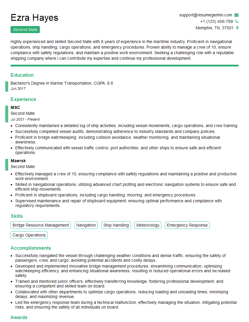
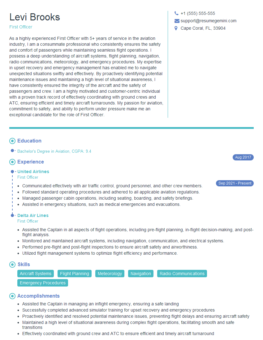
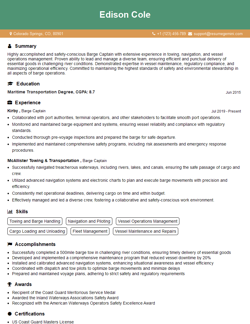
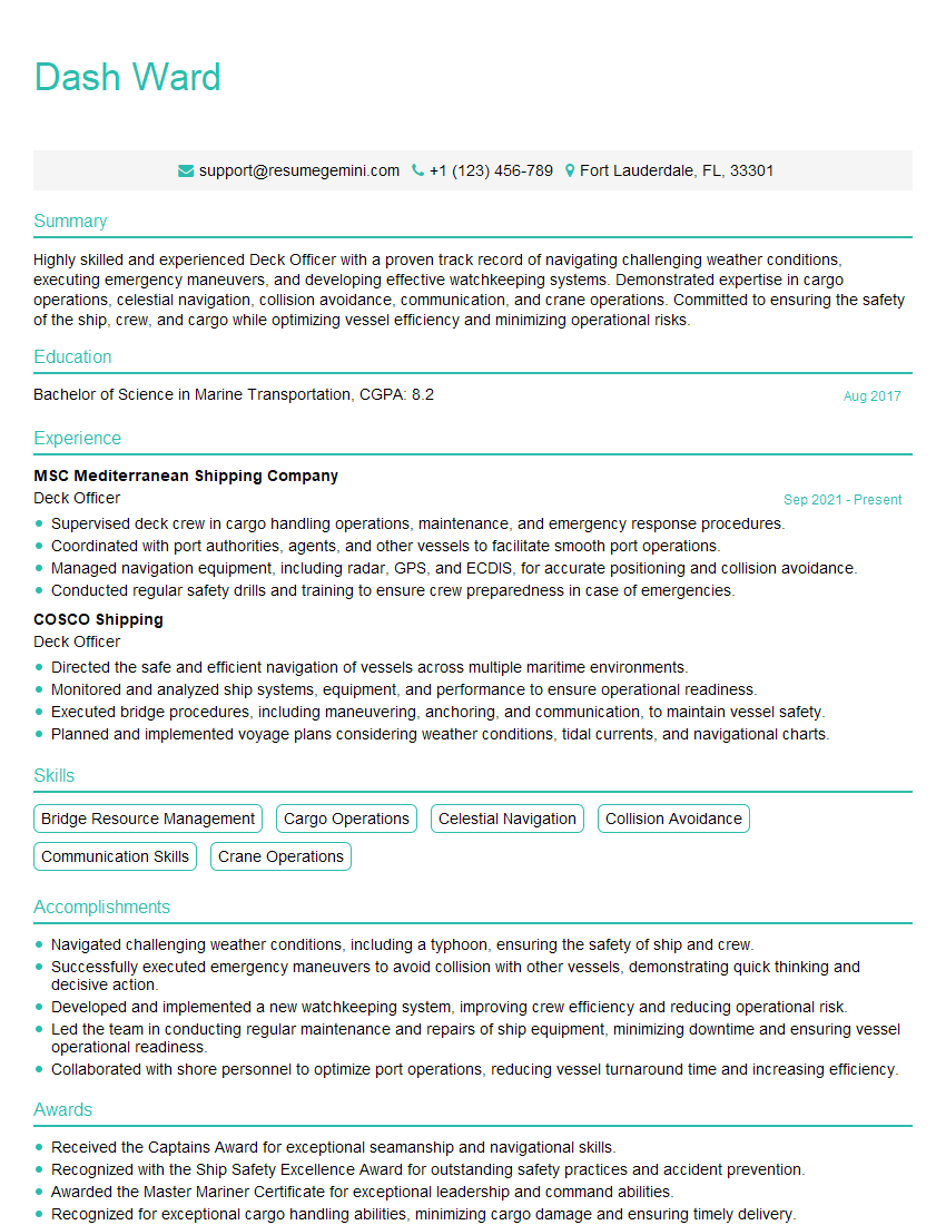
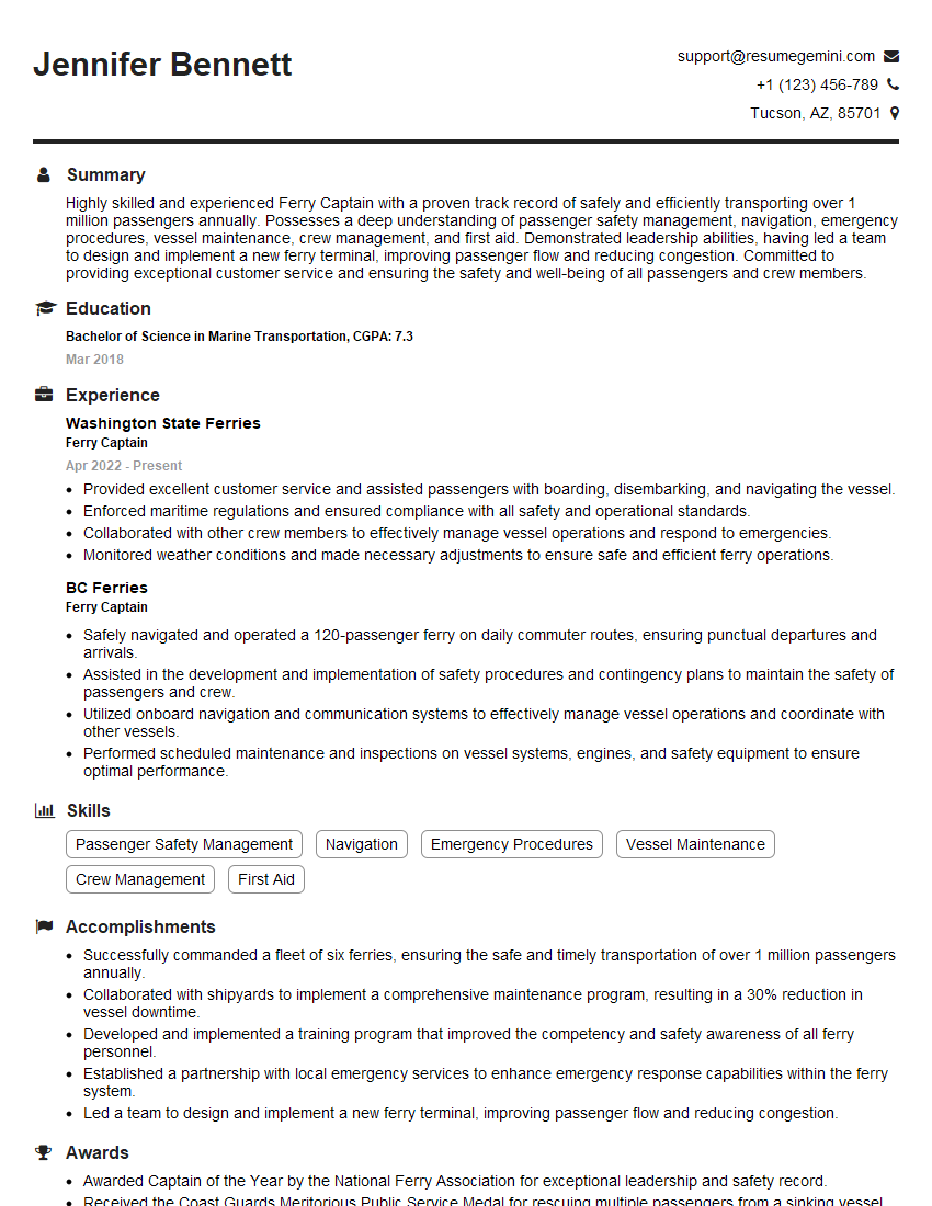
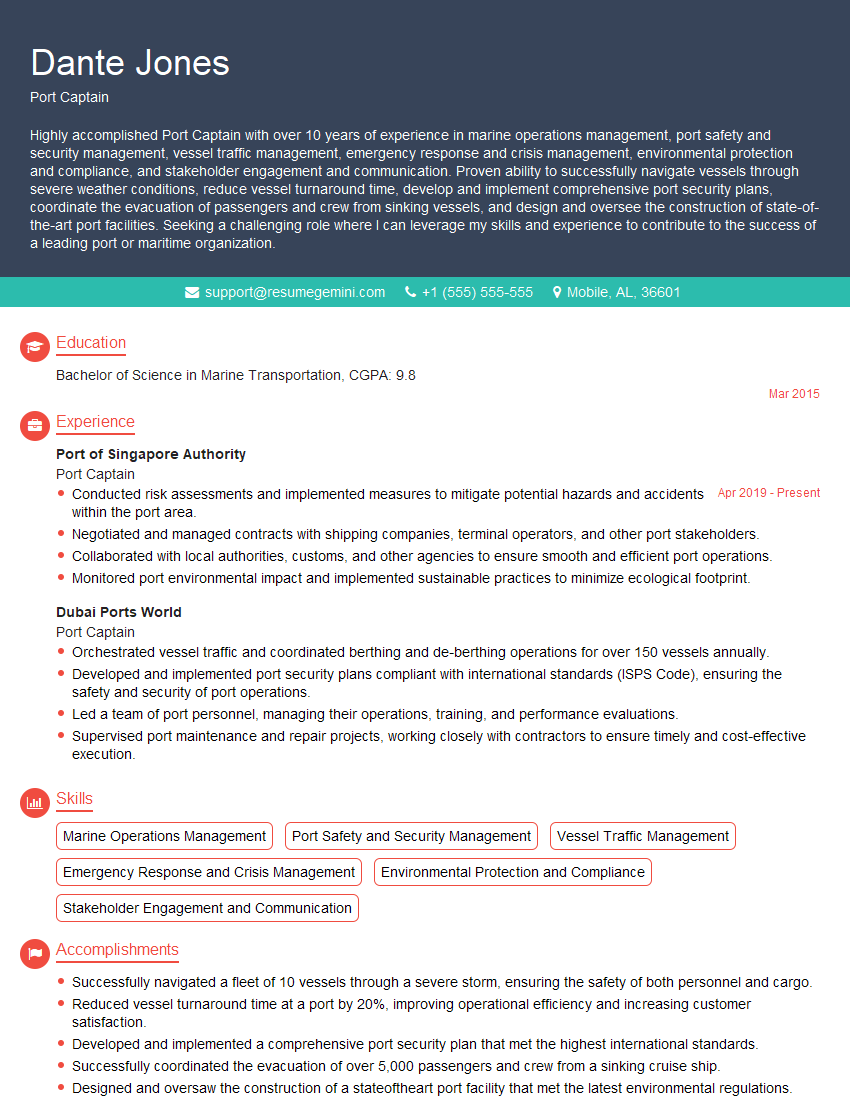
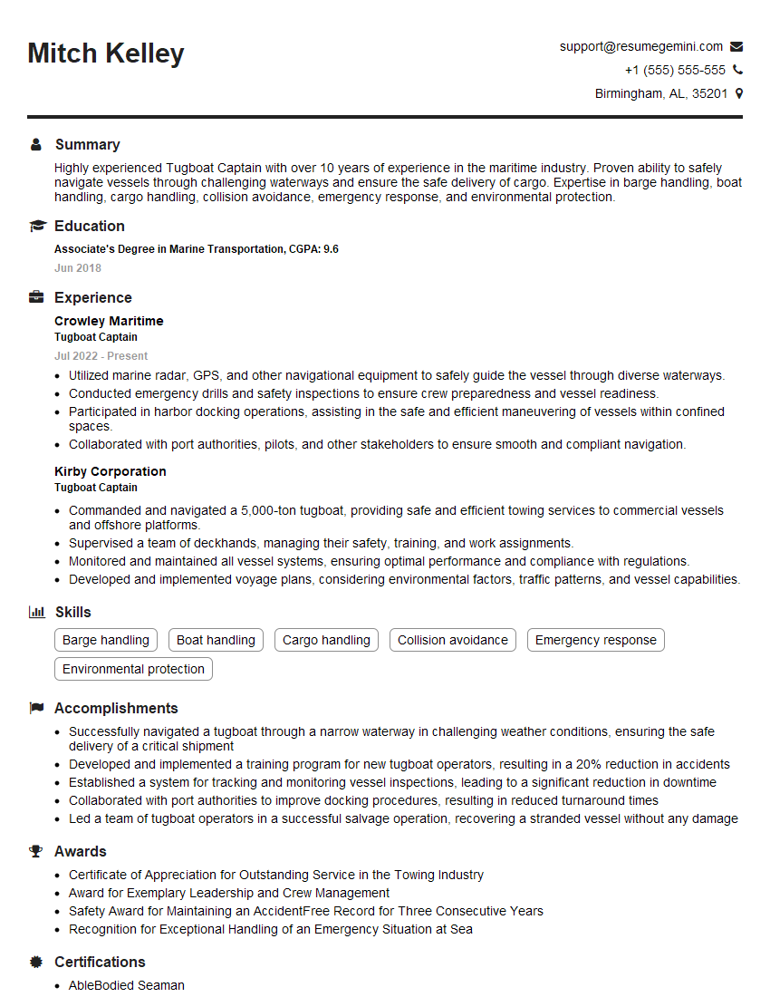
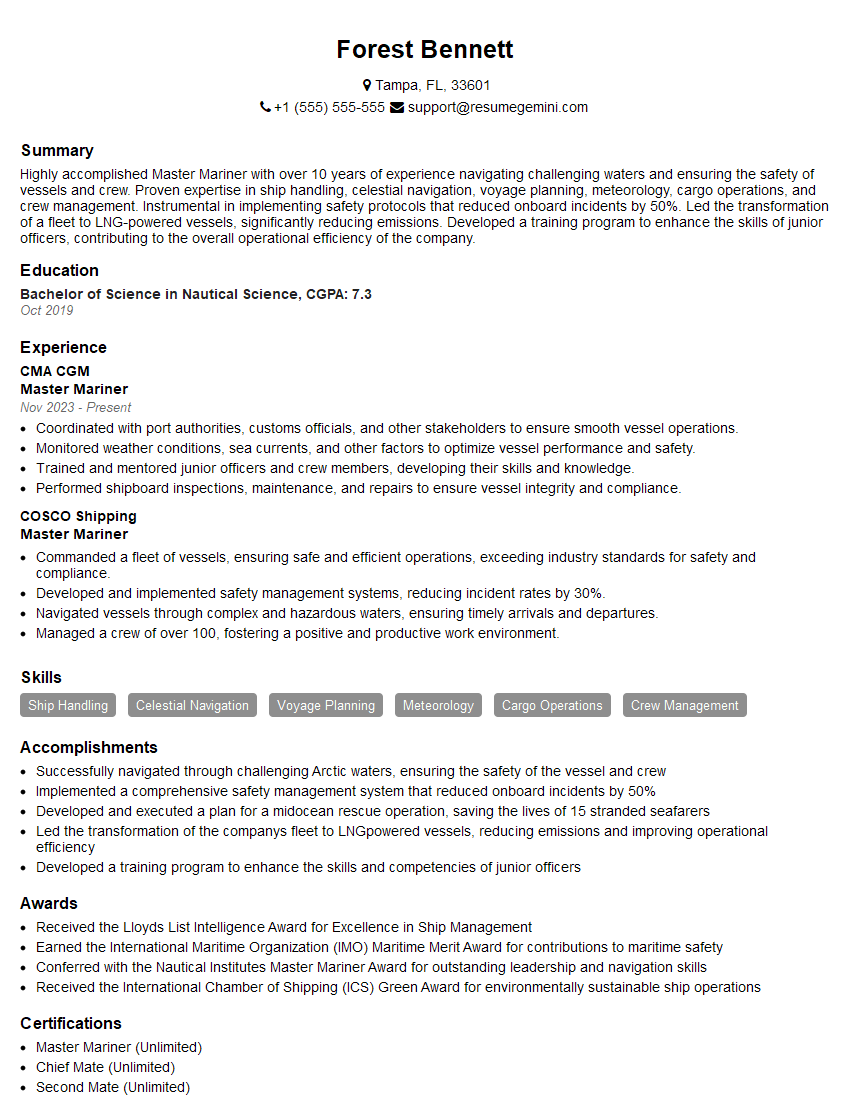
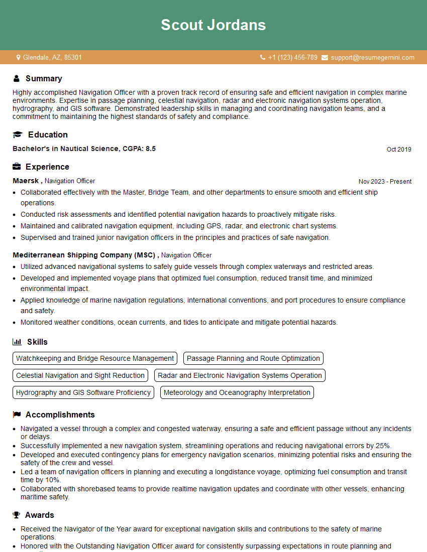
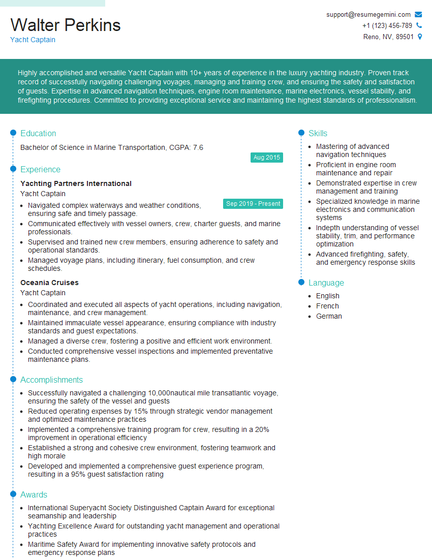
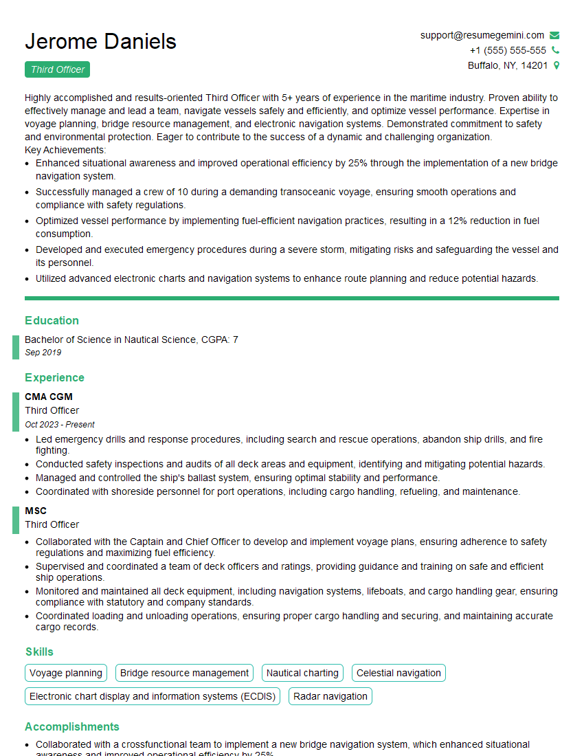
Mastering the ability to interpret and apply navigation rules is crucial for career advancement in maritime professions, significantly enhancing your safety record and operational efficiency. To stand out, create an ATS-friendly resume that clearly showcases your skills and experience. ResumeGemini is a trusted resource to help you build a professional and impactful resume that highlights your expertise. We provide examples of resumes tailored to highlight “Ability to Interpret and Apply Navigation Rules,” ensuring your application makes a strong first impression.
Explore more articles
Users Rating of Our Blogs
Share Your Experience
We value your feedback! Please rate our content and share your thoughts (optional).
What Readers Say About Our Blog
Hi, I’m Jay, we have a few potential clients that are interested in your services, thought you might be a good fit. I’d love to talk about the details, when do you have time to talk?
Best,
Jay
Founder | CEO
