Preparation is the key to success in any interview. In this post, we’ll explore crucial Experienced in using survey equipment in various weather conditions interview questions and equip you with strategies to craft impactful answers. Whether you’re a beginner or a pro, these tips will elevate your preparation.
Questions Asked in Experienced in using survey equipment in various weather conditions Interview
Q 1. Describe your experience using various types of survey equipment.
My experience with survey equipment spans over a decade, encompassing a wide range of instruments. I’m proficient in using total stations, both robotic and conventional, GPS receivers (both RTK and static), levels (automatic and digital), and various data collectors. I’ve worked with instruments from different manufacturers, including Leica, Trimble, and Topcon, which has given me a broad understanding of their functionalities and limitations. For example, I’ve used robotic total stations for precise detail surveys in challenging terrain, leveraging their automated target recognition and increased speed. With conventional total stations, I’ve mastered precise angle and distance measurements, vital for accurate boundary surveys. My experience with GPS extends to both precise RTK surveys for construction projects and static surveys for geodetic control networks, understanding the complexities of base station setup and data processing in each case.
Q 2. What are the common challenges of using survey equipment in adverse weather conditions?
Adverse weather conditions present significant challenges in surveying. Strong winds can affect the accuracy of measurements by causing instrument instability and affecting the line of sight. Heavy rain can obscure targets and make the equipment difficult to handle. Extreme temperatures (both hot and cold) can impact the performance of electronic components, leading to malfunctions or inaccurate readings. Snow and ice can create hazardous working conditions and obscure ground features. Low visibility from fog or heavy precipitation significantly reduces the operational efficiency and can impact safety.
For instance, during a heavy downpour, maintaining a stable tripod setup for a total station becomes incredibly difficult and can result in inaccurate measurements. Similarly, strong winds can deflect the laser beam from a total station, introducing errors into the distance measurements. In extreme cold, batteries can discharge rapidly, rendering the equipment unusable.
Q 3. How do you ensure accurate measurements in strong winds or heavy rain?
Ensuring accurate measurements in challenging weather requires a multi-pronged approach. First, we carefully choose the time of day to minimize the impact of adverse conditions. For instance, avoiding the windiest parts of the day, or working during lulls in heavy rain. Second, we employ appropriate techniques to mitigate the effects of the weather. This might involve using wind shields for total stations, utilizing shorter sight distances, taking multiple measurements and averaging them to reduce random errors caused by wind, and carefully leveling and securing the instrument. Third, we use appropriate equipment, such as waterproof cases for data collectors and instruments designed for rugged environments. Finally, we meticulously check our data for outliers and inconsistencies, which might be caused by adverse conditions.
For example, in high winds, we might use a shorter sight distance to minimize the effect of wind on the laser beam. In heavy rain, we might take multiple measurements of the same point to account for potential errors caused by water droplets affecting the line of sight.
Q 4. Explain your knowledge of different types of surveying instruments (e.g., total stations, GPS receivers).
My knowledge of surveying instruments extends to a wide range of technologies. Total stations are electronic instruments combining the functions of a theodolite (measures angles) and an electronic distance meter (EDM) to measure distances. They are highly accurate and versatile for a variety of surveying tasks. I am skilled in both robotic and conventional total stations. Robotic total stations automate aiming, increasing efficiency. I understand the principles of EDM, including the effects of atmospheric conditions on the measurement, and I routinely apply corrections to achieve the highest precision.
GPS receivers utilise signals from satellites to determine precise coordinates. I am experienced with both Real-Time Kinematic (RTK) GPS, providing centimeter-level accuracy in real-time, and static GPS, which requires longer observation times but delivers higher precision for base station setups or control networks. I understand the concepts of differential correction and base station setup, crucial for accurate GPS surveying. I’m also familiar with other instruments such as levels (for determining elevations), and various data collectors for recording and managing survey data.
Q 5. How do you handle equipment malfunctions in the field?
Equipment malfunctions in the field are an inevitable part of surveying. My approach involves a systematic troubleshooting process. First, I identify the nature of the malfunction. Is it a software issue, a hardware problem, or a problem with the power source? Then, I consult the instrument’s manual for troubleshooting steps or contact technical support if needed. If a simple fix, like replacing a battery, resolves the issue, I proceed. If not, I may need to attempt more advanced troubleshooting steps, which could include recalibrating the instrument or checking for loose connections. Depending on the severity of the malfunction, I may need to switch to backup equipment, or even postpone the survey until the issue is resolved. Detailed records are always kept, documenting the malfunction, the troubleshooting steps taken, and the resolution. This documentation is crucial for future reference and maintenance.
For example, if a total station’s EDM stops functioning, I might first check the battery and connections. If that doesn’t work, I’d consult the manual for troubleshooting guides or contact the manufacturer’s support team. A less severe problem, like a data collector freezing, might be resolved by a simple restart.
Q 6. What safety procedures do you follow when working with survey equipment outdoors?
Safety is paramount in outdoor surveying. Before commencing any work, I always conduct a thorough site assessment to identify potential hazards, including uneven terrain, traffic, overhead power lines, and weather conditions. I use appropriate personal protective equipment (PPE), including high-visibility clothing, safety boots, hard hats, and eye protection. I am trained in first aid and emergency procedures, and I always work with a partner whenever possible. For surveys near traffic, we implement traffic control measures. When working near bodies of water or steep slopes, extra caution and safety measures are employed. I regularly monitor weather forecasts and postpone work if conditions become unsafe. Proper communication protocols are always in place, including designated emergency contact details.
Q 7. Describe your experience with data collection and processing using survey equipment.
My experience with data collection and processing is extensive. I’m proficient in using various data collectors to record survey data from total stations and GPS receivers. This includes downloading data from instruments, verifying its completeness and accuracy, and managing it efficiently. I use specialized surveying software (e.g., AutoCAD Civil 3D, Leica GeoMos, Trimble Business Center) to process the data, performing tasks such as coordinate transformations, error adjustments, and generating various survey deliverables like maps, sections and 3D models. I’m adept at quality control procedures, ensuring the accuracy and reliability of the final data products. This includes identifying and rectifying any errors or inconsistencies. I understand the importance of proper data organization and archiving for easy retrieval and future use. Furthermore, I’m familiar with data formats used in the surveying industry (e.g., DXF, LandXML) and can effectively exchange data with other professionals.
Q 8. How do you ensure data integrity and accuracy in your survey work?
Data integrity and accuracy are paramount in surveying. We achieve this through a multi-pronged approach starting with meticulous instrument calibration. Before any fieldwork, I carefully calibrate my total stations, GPS receivers, and levels according to manufacturer specifications and best practices. This ensures the equipment is providing the most accurate readings possible.
During fieldwork, I employ multiple redundancy checks. For example, I’ll often measure distances and angles multiple times using different instrument setups, comparing the results for consistency. Significant discrepancies trigger further investigation. I also maintain detailed field notes, recording instrument settings, weather conditions, and any potential sources of error. This documentation is crucial for identifying and correcting mistakes later.
Post-processing involves rigorous quality control (QC) checks. I use software to detect outliers and blunders in the data, and I visually inspect the data to ensure it makes sense within the context of the project. For instance, if I’m surveying a building, I’ll check that the measured dimensions are consistent with the building’s plans.
Finally, I adhere to strict data management protocols, including proper file naming conventions, regular backups, and secure storage. This ensures that the data is accessible, reliable, and protected from loss or corruption. Think of it like building a sturdy house—you need a solid foundation (calibration), strong supporting structures (redundancy), careful craftsmanship (QC), and a safe storage location (data management).
Q 9. How do you deal with signal interference when using GPS equipment?
Signal interference is a common challenge in GPS surveying, particularly in urban environments or near large bodies of water. To mitigate this, I employ several strategies. First, I select optimal GPS antenna locations, seeking open skies with minimal obstruction. Trees, buildings, and even heavy cloud cover can significantly weaken the signal.
I also utilize techniques like Real Time Kinematic (RTK) GPS, which provides centimeter-level accuracy by receiving corrections from a base station. RTK significantly reduces the impact of atmospheric interference. If RTK is not feasible, I may use Post-Processed Kinematic (PPK) which provides similar accuracy after processing data from multiple epochs.
Multiple GPS receivers, strategically placed, can also help. By comparing data from different receivers, we can identify and potentially correct for errors caused by signal blockage or multipath interference. In situations with persistent significant interference, I might consider alternative surveying methods such as total station traversing, depending on the project’s requirements.
Q 10. What software packages are you proficient in for processing survey data?
I’m proficient in several industry-standard software packages for processing survey data. My primary software is AutoCAD Civil 3D, which I use extensively for data management, surface modeling, and design. I also have experience with Leica Geo Office, a powerful software suite for processing data from Leica instruments. Furthermore, I am familiar with other packages like ArcGIS for spatial analysis and data visualization.
My proficiency extends to utilizing these software packages to create accurate drawings, perform volume calculations (essential for earthworks), and generate reports that effectively communicate survey results. For example, using AutoCAD Civil 3D, I’ve successfully created detailed 3D models of complex sites for construction projects, enabling better visualization and planning.
Q 11. Describe your experience working with different coordinate systems.
Working with different coordinate systems is a fundamental aspect of surveying. I have experience with various systems, including Universal Transverse Mercator (UTM), State Plane Coordinate Systems (SPCS), and latitude/longitude. Understanding the differences between these systems and their transformations is crucial for ensuring accurate data integration and project consistency.
A common challenge is transforming data between different coordinate systems. This often involves using software tools to apply appropriate transformations, paying close attention to datum shifts and potential sources of error during the transformation process. For example, I’ve worked on projects where data collected in UTM needed to be integrated with data in a local coordinate system, requiring precise coordinate transformations to ensure seamless compatibility. Misunderstanding coordinate systems can lead to significant inaccuracies in project design and construction.
Q 12. Explain your understanding of surveying techniques (e.g., traversing, leveling, triangulation).
Surveying techniques are the backbone of our work. Traversing involves establishing a network of points by measuring angles and distances between them, creating a polygon. This is excellent for mapping large areas or establishing control points. Leveling involves measuring vertical differences between points to determine elevations. It is essential for accurate topographic mapping and construction design. Triangulation relies on measuring angles to determine distances and positions, often used when direct measurement is difficult.
I have extensive hands-on experience with all three techniques. For example, I used traversing to map a large undeveloped property, leveling to establish benchmarks for a highway project, and triangulation to determine the position of a remote tower. Choosing the right technique depends on the project’s objectives, terrain, and available equipment.
Q 13. How do you calculate distances and elevations using survey equipment?
Calculating distances and elevations is done using a combination of field measurements and calculations. For distances, total stations use electromagnetic waves to measure the distance to a target with high precision. Elevations are measured using levels, which determine the vertical difference between points. The process involves establishing benchmarks—known elevations—and measuring vertical distances relative to those benchmarks.
For example, with a total station, we measure horizontal distance and vertical angle to a point. Using trigonometry, we can calculate the point’s horizontal and vertical coordinates. With a level, we observe staff readings at different points and use the difference in readings, along with the known elevation of a benchmark, to determine the elevation of other points. These calculations are often performed automatically by surveying software, but a thorough understanding of the underlying principles is crucial to identify and correct errors.
Q 14. What are the common sources of error in surveying, and how do you mitigate them?
Numerous sources of error can affect survey accuracy. Instrumental errors, such as miscalibration or malfunctioning equipment, are addressed through regular calibration and maintenance. Personal errors, including mistakes in reading instruments or recording data, are minimized through careful procedures and double-checking. Natural errors, such as refraction (light bending) and atmospheric conditions (temperature, pressure), are mitigated through appropriate data collection techniques and atmospheric corrections.
For example, we use temperature sensors on total stations to correct for the effect of temperature on distance measurement. We also understand that refraction can cause errors in leveling, especially over long distances. To mitigate this, we might use reciprocal leveling—taking measurements in both directions—to eliminate the effects of refraction. Understanding potential errors and implementing preventative measures is fundamental to obtaining accurate results. A methodical approach, including redundancy checks and thorough data review, is essential for minimizing the impact of these errors.
Q 15. How do you maintain and calibrate survey equipment?
Maintaining and calibrating survey equipment is crucial for accurate data acquisition. It’s a multi-step process involving regular cleaning, preventative maintenance, and periodic calibration checks.
- Cleaning: Dust, dirt, and moisture can affect the precision of instruments. I always begin by gently cleaning lenses with specialized lens cloths and cleaning the instrument body with a soft brush. For total stations, this includes cleaning the prism and its housing.
- Preventative Maintenance: This includes checking batteries, ensuring proper functionality of all buttons and components, inspecting the tripod for stability, and lubricating moving parts as per the manufacturer’s instructions. I keep detailed logs of all maintenance activities.
- Calibration: Calibration is done to ensure the equipment measures accurately against known standards. This usually involves using known distances or angles and comparing the readings of the equipment with those values. I regularly send equipment for professional calibration, especially before major projects, using certified calibration labs that adhere to industry standards. For example, I’ve had my robotic total stations calibrated using a baseline established by a third-party survey company. This ensures compliance and reliable data.
Think of it like regularly servicing your car; preventative maintenance and calibration ensure the instrument remains accurate and reliable, preventing costly errors down the line.
Career Expert Tips:
- Ace those interviews! Prepare effectively by reviewing the Top 50 Most Common Interview Questions on ResumeGemini.
- Navigate your job search with confidence! Explore a wide range of Career Tips on ResumeGemini. Learn about common challenges and recommendations to overcome them.
- Craft the perfect resume! Master the Art of Resume Writing with ResumeGemini’s guide. Showcase your unique qualifications and achievements effectively.
- Don’t miss out on holiday savings! Build your dream resume with ResumeGemini’s ATS optimized templates.
Q 16. Describe your experience with different types of surveying projects (e.g., construction, land development).
My experience spans a wide range of surveying projects. I’ve worked extensively in:
- Construction Surveying: This involved setting out building foundations, monitoring progress, and ensuring the structure’s alignment using total stations and GPS equipment. For instance, on a recent high-rise project, I was responsible for setting out the precise locations of columns and beams, ensuring they aligned perfectly with the architectural plans. Accurate measurements were critical for preventing structural problems.
- Land Development: I’ve been involved in boundary surveys, topographic surveys, and volume calculations for subdivisions and infrastructure projects. One project involved creating a detailed topographic map of a large parcel of land for a new residential development, accurately representing the contours and identifying potential challenges for construction, such as steep slopes or drainage issues.
- Route Surveying: This entailed establishing horizontal and vertical alignments for roads and pipelines. I used GPS technology combined with traditional total station measurements for precise alignment and grade control.
These experiences have provided me with a strong understanding of different surveying techniques and their applications in various contexts.
Q 17. Explain your understanding of legal and ethical considerations in surveying.
Legal and ethical considerations are paramount in surveying. Accuracy and honesty are at the heart of our profession.
- Legal Compliance: I adhere strictly to all relevant local, state, and federal regulations concerning land surveying practices and data handling. This includes proper licensing, adhering to professional standards of practice, and maintaining accurate records. For example, I ensure that all boundary surveys are compliant with local regulations for evidence and accuracy.
- Data Integrity: Maintaining the integrity of survey data is critical. This means documenting all procedures, recording data accurately, and storing data securely. Any discrepancies or ambiguities are clearly noted in the reports.
- Professional Ethics: Ethical conduct requires honesty, objectivity, and impartiality. This includes avoiding conflicts of interest, respecting client confidentiality, and maintaining professional relationships with colleagues and clients. For example, if I encounter unexpected findings in a survey, I am obligated to report them to the client transparently.
Understanding and upholding these considerations ensures the reliability and legal validity of survey work, protecting both the client and the surveyor.
Q 18. How do you ensure compliance with safety regulations when working in the field?
Safety is my top priority. I rigorously follow all safety procedures on every job site.
- Site Assessments: Before starting work, I always conduct a thorough site assessment, identifying potential hazards like uneven terrain, overhead power lines, and traffic. Appropriate safety measures, like establishing clear boundaries and using warning signs, are implemented.
- Personal Protective Equipment (PPE): I ensure everyone on the team uses appropriate PPE, including safety glasses, hard hats, high-visibility clothing, and safety boots. I also provide and ensure the correct use of fall protection equipment when working at heights.
- Weather Awareness: Working in various weather conditions requires careful planning. I monitor weather forecasts and suspend work in hazardous conditions, like thunderstorms or high winds. I have even postponed field work due to extreme heat or heavy snow.
- Emergency Procedures: I’m familiar with emergency procedures and have a clear communication plan in place. I have first-aid training and carry a well-stocked first-aid kit on site.
Safety isn’t just about following regulations; it’s about a proactive mindset, ensuring everyone returns home safe at the end of the day.
Q 19. What is your experience with using robotic total stations?
I have extensive experience with robotic total stations. They significantly enhance efficiency and accuracy.
- Data Acquisition: Robotic total stations allow for faster data acquisition compared to conventional methods. The instrument automatically tracks the prism, reducing the need for constant instrument and prism manipulation. This is especially helpful in challenging terrain or during large-scale projects.
- Remote Control: The ability to control the instrument remotely is a huge advantage. This allows for measurements to be taken in difficult-to-access locations or hazardous environments. For example, I’ve used a robotic total station to measure points across a busy highway with minimal disruption to traffic.
- Data Processing: These systems often integrate seamlessly with data processing software, streamlining workflows and reducing the likelihood of errors. The reduced fieldwork time is also a major benefit for project management.
The increased efficiency and accuracy offered by robotic total stations make them an invaluable asset for modern surveying.
Q 20. How do you manage data storage and backup during field work?
Data management is critical, especially during fieldwork. I employ a robust strategy to ensure data integrity and accessibility.
- Data Logging: All data is logged directly to the instrument’s internal memory and then immediately backed up to multiple external sources. I never rely on just one storage device. For example, I typically back up to a field computer’s hard drive, an external hard drive, and sometimes a cloud storage service.
- Data Organization: I maintain a strict file naming convention and organize data into clearly labeled folders. This facilitates easy retrieval and analysis, and prevents data loss during processing.
- Data Security: Data is password-protected, and access is restricted to authorized personnel. The use of encrypted storage media is common practice, and cloud storage also provides additional layers of security.
This multi-layered approach safeguards the data, ensuring it’s readily available and protected from loss or unauthorized access.
Q 21. How do you handle conflicting information or data discrepancies?
Handling conflicting information or data discrepancies requires a systematic approach. It’s about careful investigation and informed decision-making.
- Identify and Document: The first step is to meticulously identify and document all conflicting data points. This is where detailed field notes are essential.
- Review Field Procedures: I carefully review the field procedures and equipment settings to identify potential sources of error. This may involve checking for instrument malfunction, human error, or environmental factors.
- Recheck Measurements: In many instances, the best approach is to re-check the problematic measurements in the field. Often, re-measurement can resolve the discrepancy.
- Data Analysis: If the discrepancy persists after re-measurement, I undertake a thorough data analysis. I might use statistical methods to identify outliers or systematic errors. Advanced software analysis can sometimes identify patterns which indicate specific problems.
- Consultation: In some cases, consulting with senior surveyors or other specialists may be necessary to resolve complex discrepancies. This could include a review by a more experienced colleague or external expert.
Resolving data conflicts is about thoroughness, a critical eye, and sometimes seeking outside expertise to ensure the final data set is reliable and accurate.
Q 22. Describe your experience working with different types of terrain.
My experience spans a wide variety of terrains, from flat, open agricultural land to rugged mountainous regions and dense urban environments. Each presents unique challenges. For instance, working on steep slopes requires careful consideration of instrument stability and potential hazards. In urban areas, navigating obstacles like buildings and traffic demands extra planning and attention to safety protocols. Conversely, the open expanse of agricultural land often involves long sightlines, facilitating precise measurements but presenting challenges with wind and environmental factors. I’ve adapted my techniques and equipment choices to suit these diverse conditions, always prioritizing safety and accuracy.
In mountainous regions, I’ve utilized techniques such as traversing to establish control points and employed robotic total stations to overcome line-of-sight limitations. In urban environments, I’ve employed GPS techniques complemented by traditional methods like Total Station measurements for enhanced accuracy in areas with multipath interference. Adaptability and a thorough understanding of the terrain are key to successful surveying.
Q 23. What are the limitations of different survey equipment in various weather conditions?
Weather significantly impacts survey equipment performance. For example, heavy rain can affect the accuracy of optical instruments like theodolites and total stations by obscuring lines of sight and causing refraction errors. Extreme heat can impact instrument calibration and electronic components, leading to decreased accuracy and potential malfunction. Strong winds can destabilize instruments, leading to inaccurate readings and safety concerns. Cold temperatures can affect battery life and instrument responsiveness. GPS systems are also affected, with poor satellite visibility due to cloud cover or heavy rain decreasing accuracy and potentially leading to signal loss.
To mitigate these limitations, we employ various strategies. Rain covers protect optical instruments. We schedule work around periods of extreme weather or use weather-resistant equipment. In areas with poor GPS reception, we integrate Total Stations for increased accuracy. Regular equipment calibration and maintenance are crucial to minimizing weather-related errors.
Q 24. Explain your understanding of error propagation in survey measurements.
Error propagation refers to how uncertainties in individual measurements accumulate and affect the final result of a survey. Think of it like adding errors – a small error in each measurement can snowball into a significant error in the final calculation. For example, a small error in measuring a distance and a small error in measuring an angle can combine to create a considerable error in the calculated coordinates of a point.
Understanding error propagation is critical for assessing the overall accuracy of a survey. We use statistical methods and error propagation formulas to estimate the uncertainties associated with our measurements and to determine the reliability of our results. This helps in determining the level of precision required for different survey tasks and in identifying potential sources of error that need to be addressed.
Q 25. How do you ensure the accuracy and precision of your survey data?
Ensuring the accuracy and precision of survey data involves a multi-pronged approach. This begins with proper instrument calibration and maintenance. We regularly check our instruments against known standards to ensure they’re functioning within their specified tolerances. We also employ rigorous field procedures, including multiple measurements and redundant observations, to minimize random errors. For example, we’ll often measure a distance multiple times and average the results. We use precise leveling techniques to ensure the instrument is properly aligned, and we implement quality control checks at every stage of the process.
Data processing plays a crucial role. We use appropriate software and techniques to analyze the raw data, identify and correct outliers, and propagate errors correctly. We meticulously document all measurements and procedures to facilitate quality control and future reference. Ultimately, the goal is to minimize errors at every step, from initial measurement to final data presentation.
Q 26. How do you collaborate effectively with other members of a survey crew?
Effective collaboration is paramount in surveying. Clear communication is essential. Before any fieldwork, we have detailed briefings to discuss the project objectives, survey methods, safety procedures, and individual roles. During the fieldwork, we maintain constant communication, sharing information and observations to ensure everyone is on the same page. We use established protocols for data recording and transfer to avoid discrepancies and ensure everyone understands the data collected.
We leverage each crew member’s strengths. Some team members may be better at operating certain equipment, while others excel at data processing or site management. We foster a supportive and respectful environment where everyone feels comfortable contributing ideas and raising concerns. A strong team dynamic is critical for efficiency and high-quality work. This includes mutual respect, clear communication, and a shared commitment to safety.
Q 27. Describe your experience with performing quality control checks on survey data.
Quality control checks are an integral part of my workflow. These begin in the field, where we conduct regular instrument checks, review measurements for consistency, and visually inspect the surroundings for any potential sources of error. For example, we look for obstacles that might affect sightlines or cause instrument instability. After fieldwork, the data undergoes rigorous processing and analysis. We identify and investigate outliers, looking for patterns that suggest systematic errors. We use statistical methods to assess the precision and accuracy of the data and to check for inconsistencies.
We meticulously document all quality control checks and any adjustments made to ensure transparency and accountability. This documentation serves as a valuable record for future reference and aids in identifying areas for improvement in our processes. A systematic approach to quality control ensures the reliability and integrity of our survey data, crucial for its use in critical decision-making.
Q 28. How do you stay up to date with the latest advancements in surveying technology?
Staying current with advancements in surveying technology is crucial for maintaining professional competency. I actively participate in professional development activities, attending conferences and workshops to learn about the latest techniques and equipment. I regularly read industry publications and journals, staying informed about new developments and research findings. I’m also actively involved in online professional communities, engaging in discussions and sharing knowledge with colleagues.
Furthermore, I embrace continuous learning by exploring new software and applications that can streamline workflows and improve data processing efficiency. This continuous pursuit of knowledge ensures I can adapt to the evolving technological landscape and deliver high-quality results utilizing the most efficient and effective techniques available.
Key Topics to Learn for Experienced in using survey equipment in various weather conditions Interview
- Equipment Familiarity: Demonstrate in-depth knowledge of various survey instruments (Total Stations, GPS receivers, levels, etc.), including their functionalities, limitations, and maintenance.
- Weather-Related Challenges: Discuss practical strategies for conducting surveys in diverse weather conditions (extreme heat, cold, rain, wind, snow). This includes understanding the impact of weather on accuracy and safety.
- Data Acquisition and Processing: Explain your proficiency in collecting accurate data under challenging weather conditions and the subsequent processing techniques used to ensure data integrity.
- Safety Procedures: Highlight your understanding and adherence to safety protocols when working in adverse weather, including personal protective equipment (PPE) and emergency procedures.
- Problem-Solving and Adaptability: Describe situations where you had to overcome weather-related obstacles to complete a survey project efficiently and accurately. Focus on your problem-solving skills and adaptability.
- Calibration and Maintenance: Explain your understanding of instrument calibration and routine maintenance, especially concerning their performance in various weather conditions.
- Data Analysis and Interpretation: Showcase your ability to analyze survey data, identify potential errors stemming from weather conditions, and interpret results accurately.
Next Steps
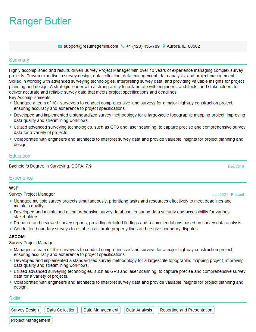
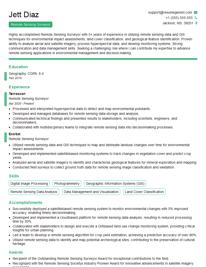
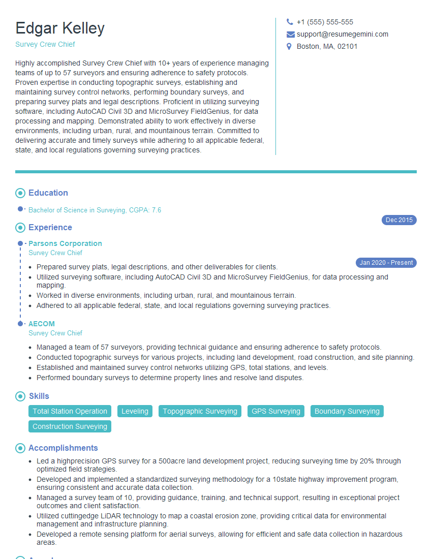
Mastering the skills and knowledge related to using survey equipment in diverse weather conditions is crucial for career advancement in surveying and related fields. It showcases your resilience, adaptability, and commitment to delivering accurate results under pressure. To significantly improve your job prospects, create an ATS-friendly resume that highlights these key skills. ResumeGemini is a trusted resource for building professional and effective resumes. Examples of resumes tailored to candidates experienced in using survey equipment in various weather conditions are available to help guide you in crafting your own compelling application.
Explore more articles
Users Rating of Our Blogs
Share Your Experience
We value your feedback! Please rate our content and share your thoughts (optional).
What Readers Say About Our Blog
Hi, I’m Jay, we have a few potential clients that are interested in your services, thought you might be a good fit. I’d love to talk about the details, when do you have time to talk?
Best,
Jay
Founder | CEO


