Unlock your full potential by mastering the most common Navigation and Chartwork interview questions. This blog offers a deep dive into the critical topics, ensuring you’re not only prepared to answer but to excel. With these insights, you’ll approach your interview with clarity and confidence.
Questions Asked in Navigation and Chartwork Interview
Q 1. Explain the difference between true north, magnetic north, and compass north.
Understanding the difference between true north, magnetic north, and compass north is fundamental in navigation. They all represent different directions relative to the Earth’s magnetic field and geographic poles.
- True North: This is the direction towards the geographic North Pole, the Earth’s actual axis of rotation. It’s the reference point for all navigational calculations and is depicted on charts. Think of it as the ultimate, unchanging north.
- Magnetic North: This is the direction indicated by a freely suspended magnetic needle. It’s the direction the Earth’s magnetic field lines point towards. This point isn’t static; it slowly drifts over time.
- Compass North: This is the direction indicated by your compass. While it aims for magnetic north, it’s affected by local magnetic disturbances called deviation, caused by the magnetic materials in your vessel or its surroundings. The compass reading needs correction to align with magnetic north.
Imagine a treasure map: True North is the actual location of the treasure (the geographic North Pole), Magnetic North is where a magnetic compass would point you (but it’s a bit off), and Compass North is where your specific compass points (it could be quite far off due to the compass’s own errors).
Q 2. Describe the process of calculating a great circle route.
Calculating a great circle route involves finding the shortest distance between two points on the Earth’s surface, following the curvature of the sphere. It’s not a straight line on a flat map but a curved path.
The process typically utilizes spherical trigonometry or specialized navigational software. Manually, you’d need the latitudes and longitudes of your starting and ending points. You then use formulas to calculate the initial course, the great circle track, and the various waypoints along the route. These calculations consider the Earth’s sphericity.
Consider this analogy: If you wanted to fly directly from London to New York, you wouldn’t fly in a straight line on a flat map; you’d follow a curved path—the great circle route—to minimize distance. Modern navigational systems automatically calculate and display this route.
Q 3. How do you correct for magnetic variation and deviation?
Magnetic variation and deviation are corrections applied to your compass reading to obtain true north. They are separate but equally important.
- Magnetic Variation: This is the angular difference between true north and magnetic north. It varies geographically and is shown on nautical charts as lines of isogonic variation (lines connecting points of equal magnetic variation). To correct for variation, you either add or subtract the stated variation value from your compass reading, depending on whether you are east or west of the agonic line (the line of zero variation).
- Deviation: This is the error in a compass reading caused by local magnetic influences on the vessel itself—metal in the hull, electronic equipment, nearby iron objects. To correct for deviation, you need to perform a deviation card compass swing. This involves taking compass bearings on known landmarks, from many different headings of your vessel and the observed differences are recorded to create a deviation table or card showing deviation error for different compass headings. You then add or subtract the deviation value from the compass heading.
For example, if your compass reads 090° and the chart shows variation as +15° East and your deviation card shows -2° for 090°, your True Heading would be 090° – (-2°) + 15° = 107°.
Q 4. What are the different types of charts used in navigation?
Navigation charts come in various types, each serving specific purposes. Some common types include:
- Nautical Charts: These show water depths, hazards, aids to navigation, coastlines, and other relevant information for marine navigation.
- Electronic Navigational Charts (ENCs): Digital versions of nautical charts with added capabilities such as layering information, setting alarms, and route planning.
- General Charts: These cover larger areas and provide less detailed information than nautical charts; helpful for planning longer voyages.
- Approach Charts: Show detailed information for harbors and approaches to ports.
- Harbor Charts: Provide very detailed information within harbors and marinas.
- Aeronautical Charts: Used for air navigation, showing airports, airways, and navigational aids.
Choosing the right chart depends on the area, scale, and details needed for safe and efficient navigation.
Q 5. Explain the purpose and use of a nautical almanac.
The Nautical Almanac is a critical navigational tool providing astronomical data needed for celestial navigation. This involves using the positions of celestial bodies (sun, moon, stars) to determine a vessel’s latitude and longitude.
The almanac contains:
- Daily positions of the sun, moon, and planets: Their right ascension and declination at various times throughout the day.
- Data for selected stars: Their right ascension and declination.
- Information on tides and currents: Important for coastal navigation.
Before GPS, celestial navigation was paramount, and the Nautical Almanac was indispensable. While less frequently used today, it’s still an essential backup navigation method and offers valuable navigational understanding.
Q 6. How do you determine your position using GPS?
Determining your position using GPS relies on receiving signals from multiple GPS satellites. Each satellite transmits a precise signal containing its own location and the time the signal was sent. The GPS receiver in your device measures the time it takes to receive these signals. The difference between the time the signal was sent and received is then calculated for different satellites. This difference, when combined with the known positions of satellites, allows the receiver to calculate your precise latitude, longitude, and altitude through a process of trilateration (finding the intersection of three or more spheres).
In simpler terms, imagine three circles, each representing the distance of your position from three satellites. Your location is where all three circles intersect.
Q 7. What are the limitations of GPS?
While GPS is incredibly accurate and convenient, it has limitations:
- Signal Blockage: Buildings, trees, and even atmospheric conditions can block or weaken GPS signals, leading to inaccurate positions or signal loss.
- Atmospheric Effects: The ionosphere and troposphere can delay GPS signals, affecting accuracy.
- Multipath Errors: Signals can bounce off objects before reaching the receiver, creating false readings.
- Satellite Geometry: The arrangement of visible satellites can affect the accuracy of positioning; poor geometry can lead to less precise results.
- Selective Availability (SA): Though no longer active, SA was a deliberate degradation of GPS accuracy for civilian use; this is not a current issue.
- Receiver Limitations: Inexpensive GPS receivers might be less accurate than professional grade devices.
It is crucial to be aware of these limitations and to utilize backup navigation systems, especially in challenging environments or when high precision is required.
Q 8. Describe the process of taking a bearing.
Taking a bearing involves measuring the angle between your vessel’s heading and a landmark or navigational aid. Think of it like using a giant protractor on the water. You align your compass with the object, and the reading on the compass shows you the bearing.
The process typically involves:
- Selecting a landmark: Choose a clearly visible object such as a lighthouse, buoy, or prominent feature on land.
- Aligning the compass: Position your compass so that the object is clearly visible along its sighting vane or line of sight.
- Reading the bearing: Note the angle indicated on the compass. This angle represents the bearing in degrees from your vessel’s heading (usually magnetic North).
- Recording the bearing: Write down the bearing, along with the time, the object’s name, and any relevant information.
Example: If your compass shows 060° when you sight a lighthouse, it means the lighthouse is 60 degrees to the right (clockwise) of your vessel’s heading.
Q 9. How do you use a sextant to determine your position?
A sextant measures the angle between the horizon and a celestial body (sun, moon, stars). By knowing the altitude (angle) and the time of the observation, we can determine our latitude and sometimes longitude. It’s like solving a cosmic triangle!
The process involves:
- Horizon Selection: Establish a clear, level horizon.
- Body Selection: Choose a celestial body whose position is known (from an almanac).
- Altitude Measurement: Use the sextant to carefully measure the angle between the horizon and the selected celestial body.
- Time Recording: Precisely record the time of the observation using a chronometer.
- Sight Reduction: Use nautical tables or software to calculate your position based on the measured altitude, the time of observation, and the celestial body’s known position.
Crucially: Accurate timekeeping is essential for celestial navigation; even a small error can significantly affect the position calculation.
Q 10. Explain the concept of dead reckoning.
Dead reckoning (DR) is estimating your current position based on your last known position, course, speed, and time. It’s like drawing a line on a chart based on how far and in what direction you’ve traveled. While not as precise as other methods, DR provides a continuous estimate of your position, especially when other navigation methods are unavailable.
The process involves:
- Establishing a starting position: This is your last known accurate position.
- Determining course and speed: Note your compass heading and speed over ground (SOG) using GPS or log.
- Calculating distance traveled: Multiply your speed by the time elapsed.
- Plotting the position: On a chart, draw a line from your starting position along your course for the calculated distance.
Example: If you know your position, are traveling at 10 knots for 2 hours on a course of 090 degrees, your DR position will be 20 nautical miles east of your starting point.
Limitations: DR is susceptible to errors in course, speed, and current, making it crucial to regularly update the DR position using other navigation aids.
Q 11. What are the various methods of celestial navigation?
Celestial navigation uses the positions of celestial bodies to determine latitude and longitude. Several methods exist, with varying levels of complexity:
- Sight Reduction: This is the most common method, involving measuring the altitude of a celestial body and using navigational tables or software to calculate the position line. The intersection of multiple lines provides the position.
- Line of Position (LOP) Method: Determining a line on the chart representing all possible positions based on one celestial sight. Multiple LOPs intersect to give a fix.
- Circle of Position (COP) Method: Similar to LOP but representing a circular area of possible positions, offering a slightly less precise but still viable method.
Each method relies on precise timekeeping and accurate knowledge of the celestial body’s position, typically found in nautical almanacs. The choice of method depends on available equipment and the level of accuracy required.
Q 12. How do you interpret weather information relevant to navigation?
Interpreting weather information is critical for safe navigation. Key aspects include:
- Wind: Wind speed and direction significantly affect your course and speed, particularly in smaller vessels. Look at wind forecasts to predict changes.
- Visibility: Poor visibility, such as fog or heavy rain, limits your ability to sight landmarks and other vessels. Navigation needs to rely more on electronic aids in these conditions.
- Sea state: High seas can affect maneuverability and comfort. Wave height and period can make navigation challenging and risky.
- Weather warnings: Pay close attention to warnings of storms, hurricanes, or other severe weather events. Alter your course or seek shelter as necessary.
- Currents: Strong currents can significantly affect your course and speed; weather reports often include current information.
Sources for weather information include meteorological services, marine broadcasts, and weather apps. Always check multiple sources to ensure accuracy and consistency.
Q 13. Explain the significance of tidal currents and how to account for them.
Tidal currents are the horizontal movement of water caused by the rise and fall of tides. They can significantly affect your vessel’s speed and course, especially in narrow channels and coastal waters. Neglecting tidal currents can lead to delays or even dangerous situations.
Accounting for tidal currents involves:
- Consulting tidal charts and tables: These resources provide information on the speed and direction of currents for specific locations and times.
- Calculating current effects: Determine the vector (direction and speed) of the current and then use vector addition to adjust your course and speed to achieve your desired track.
- Using current vectors on charts: Many charts display current information, allowing you to plot your course while accounting for their effects.
Example: If a current is flowing at 2 knots directly to the east, and your boat is heading north at 10 knots, you will not travel directly north. You will experience a drift towards the east, and to counteract that, you may need to adjust your course westward.
Q 14. What is a nautical mile and how does it differ from a statute mile?
A nautical mile (NM) is approximately 1.15 statute miles or 1852 meters. It’s based on one minute of latitude. It’s the standard unit of measurement for distances at sea.
The difference between a nautical mile and a statute mile (or land mile) stems from their definitions. A statute mile is an arbitrary unit of land measurement, while a nautical mile is directly tied to the Earth’s curvature, making it more useful for navigation on a global scale.
Using nautical miles makes calculations of latitude and longitude simpler since 60 nautical miles are approximately equal to one degree of latitude or longitude. This simplifies many navigational calculations making it far more useful for mariners.
Q 15. Describe the different types of navigational lights and their significance.
Navigational lights are crucial for preventing collisions at sea, acting like a vessel’s visual signature at night or in reduced visibility. Different lights indicate the vessel’s type, course, and status. Think of them as a maritime alphabet, allowing vessels to ‘speak’ to each other visually.
- Masthead Light: A white light showing all around the horizon, indicating the vessel’s presence and approximate location. Imagine it as the main ‘beacon’ of the ship.
- Sidelights (Port and Starboard): Green light on the starboard (right) side and red light on the port (left) side. These show only to the side they are positioned on and are vital in determining a vessel’s heading relative to yours. Think of them as the ship’s ‘eyes’.
- Sternlight: A white light showing towards the rear. This aids in determining the vessel’s bearing and preventing stern collisions.
- All-round Lights: Various colors, such as red, yellow, or white. These lights are specific to different vessel types (e.g., fishing vessels, sailing vessels) or situations (e.g., vessels at anchor, vessels restricted in their ability to maneuver).
For example, seeing a red light indicates the vessel is to your port side. Seeing both red and green lights means the vessel is heading nearly directly at you, requiring prompt action to avoid collision.
Career Expert Tips:
- Ace those interviews! Prepare effectively by reviewing the Top 50 Most Common Interview Questions on ResumeGemini.
- Navigate your job search with confidence! Explore a wide range of Career Tips on ResumeGemini. Learn about common challenges and recommendations to overcome them.
- Craft the perfect resume! Master the Art of Resume Writing with ResumeGemini’s guide. Showcase your unique qualifications and achievements effectively.
- Don’t miss out on holiday savings! Build your dream resume with ResumeGemini’s ATS optimized templates.
Q 16. What are the International Regulations for Preventing Collisions at Sea (COLREGs)?
The International Regulations for Preventing Collisions at Sea (COLREGs) are a set of international maritime rules aimed at preventing collisions and promoting safe navigation. They are essentially the ‘rules of the road’ at sea. They cover a wide range of topics, from the use of navigational lights and shapes to the actions to be taken in different situations, such as crossing, overtaking, and meeting situations.
Key aspects of COLREGs include:
- Rules of the Road: Detailed guidelines on how vessels should act when meeting, crossing, or overtaking other vessels.
- Navigational Lights and Shapes: Specifies the types of lights and shapes that different vessels must display.
- Sound Signals: Dictates the use of sound signals like fog horns in conditions of low visibility.
- Responsibilities of Vessels: Outlines the responsibilities of vessels in different situations, such as the give-way and stand-on rules.
Understanding and strictly adhering to COLREGs is paramount for safe navigation. Non-compliance can lead to serious consequences, including collisions and legal liabilities.
Q 17. How do you identify and avoid potential hazards while navigating?
Identifying and avoiding hazards is a constant process in navigation. It’s a layered approach combining visual observation, chartwork, and electronic aids. Think of it as being a detective and proactively assessing risks.
- Visual Observation: Continuously scanning the horizon, using binoculars when necessary, to spot other vessels, navigation marks, floating debris, and weather changes.
- Chartwork: Consulting nautical charts to identify potential hazards like shoals, reefs, wrecks, and restricted areas. This is your essential roadmap, and understanding chart symbols is critical.
- Electronic Aids: Utilizing radar, AIS (Automatic Identification System) and GPS to track other vessels, monitor your position, and obtain navigational warnings. Think of these as your extra ‘eyes’ beyond your own sight.
- Weather Monitoring: Regularly checking weather forecasts and reports to anticipate changing conditions, such as storms or fog, which could impact visibility and safety.
For example, if radar indicates a vessel on a collision course, you would immediately take evasive action, as stipulated by COLREGs, to avoid a collision. If a chart indicates a shallow area, you would adjust your course to navigate a safe water depth.
Q 18. Explain the use of electronic chart display and information systems (ECDIS).
Electronic Chart Display and Information Systems (ECDIS) are integrated navigational systems that have revolutionized navigation. They combine digital charts with various sensor data to provide a comprehensive navigational picture. Think of it as a highly advanced and sophisticated chart plotter that goes well beyond simple plotting.
ECDIS functions include:
- Chart Display: Displaying electronic charts and providing real-time position information.
- Route Planning: Allowing users to plan routes and monitor progress.
- Alarm and Warning Systems: Providing alerts for potential hazards, such as shallow water or proximity to other vessels.
- Data Integration: Integrating data from various sources, such as GPS, AIS, and radar, to create a comprehensive navigational picture.
ECDIS dramatically enhances safety by reducing human error and providing real-time situational awareness. It is, however, essential that the user understands its capabilities and limitations and has received proper ECDIS training.
Q 19. What are the safety procedures for entering and leaving a port?
Entering and leaving a port safely requires a structured approach, prioritizing communication, careful planning, and awareness of local regulations. Think of it as a carefully choreographed dance that ensures safety for all involved.
- Pilot Boarding (if required): Contacting port authorities and arranging for a pilot to board the vessel to assist with navigation in congested waters. This experienced local guide has invaluable knowledge.
- Port Communication: Maintaining constant communication with harbor control or Vessel Traffic Services (VTS) to receive instructions and updates on port traffic.
- Navigation Planning: Carefully planning the route through the port, taking into account depth restrictions, navigation marks, and other vessels.
- Speed and Maneuvering: Maintaining a safe speed and carefully maneuvering the vessel to avoid collision with other vessels or structures.
- Mooring and Unmooring Procedures: Following established procedures for mooring and unmooring, ensuring that the vessel is securely fastened.
Failing to follow these procedures can lead to collisions, groundings, and damage to the vessel or port facilities.
Q 20. How do you manage emergencies at sea related to navigation?
Emergency situations at sea require immediate and decisive action, prioritizing the safety of the crew and vessel. A well-rehearsed emergency plan is key. Think of it as having a detailed fire drill plan – only for maritime emergencies.
- Assess the Situation: Determine the nature and extent of the emergency, such as collision, fire, or grounding.
- Activate Emergency Procedures: Initiate appropriate emergency procedures, including communication with authorities, deploying life rafts, and abandoning ship if necessary.
- Communication: Immediately contact relevant authorities, such as Coast Guard or Maritime Rescue Coordination Centre (MRCC), providing details of the emergency and the vessel’s location.
- Damage Control: Take steps to minimize damage and prevent further harm.
- Crew Safety: Ensure the safety of all crew members, following established procedures for emergency situations.
Effective communication and a well-prepared emergency plan are crucial to successfully managing emergencies at sea.
Q 21. Describe the process of anchoring a vessel.
Anchoring a vessel is the process of securing it in a specific location using an anchor and chain. It’s a critical skill requiring careful planning and execution. Think of it as carefully placing a heavy weight to hold your vessel in place.
- Select an Anchoring Location: Choose a suitable location with sufficient depth and holding ground, consulting charts and considering weather conditions.
- Approach the Location: Approach the selected location at a safe speed and angle, ensuring clear water around the vessel.
- Deploy the Anchor: Carefully lower the anchor to the seabed, ensuring it is properly set.
- Check the Anchor: Check the anchor’s set using the windlass or winch, then check its holding power by carefully veering out the chain.
- Monitor the Vessel’s Position: Monitor the vessel’s position regularly to ensure it remains securely anchored.
Improper anchoring techniques can lead to dragging the anchor, which could result in grounding or collision with other vessels.
Q 22. How do you handle communication with other vessels and shore stations?
Communication at sea is crucial for safety and efficiency. We use various methods depending on the range and urgency. For short-range communication with nearby vessels, VHF radio is the primary tool. This allows for immediate voice communication, crucial in situations like avoiding collisions or requesting assistance. Standard phrases and procedures, as outlined in the International Regulations for Preventing Collisions at Sea (COLREGs), are followed to ensure clarity. For longer-range communication, or communication with shore stations, Inmarsat or other satellite communication systems are used. These systems allow for email, text messages, and even voice communication, even in remote areas with no terrestrial radio coverage. For example, I recently used Inmarsat to report a change in our ETA to port authorities after encountering unexpected adverse weather. Logbooks meticulously record all communications, including the time, vessel contacted, and content of the communication.
Additionally, Automatic Identification System (AIS) is vital for situational awareness. AIS transmits information about a vessel’s position, course, speed, and other identifying details, allowing other vessels and shore stations to track our movements. This passive system contributes significantly to collision avoidance.
Q 23. What are the various types of radar and their applications in navigation?
Radar plays an indispensable role in navigation, particularly in low visibility conditions. Several types exist, each with its strengths:
- X-band Radar: This is the most common type, offering a good balance between range and resolution. It’s excellent for detecting smaller targets close to the vessel, like other ships and navigational buoys. Think of it as your everyday workhorse.
- S-band Radar: With its longer wavelengths, S-band radar penetrates rain and sea clutter more effectively than X-band, providing better visibility in challenging weather. Its longer range makes it ideal for longer voyages or navigating in areas with reduced visibility.
- Harbour Radar: Specifically designed for use in confined waters, harbour radars offer high resolution and short ranges, enabling precise navigation within ports and marinas. Its high accuracy makes it essential in busy harbours.
- Doppler Radar: This advanced radar type can measure the speed and direction of targets, providing extra information about their movement and aiding collision avoidance. This is valuable in identifying potential threats earlier and taking preventative action.
In my experience, I rely heavily on radar during night navigation, in fog, heavy rain, or snow. It helps paint a picture of the surrounding environment, allowing me to identify potential hazards and plan a safe course.
Q 24. Explain the concept of a chart datum.
Chart datum is the reference level from which depths and heights are measured on nautical charts. It’s essentially the zero point of the chart. Different chart datums exist, with the most common being:
- Mean Low Water Springs (MLWS): This is the average height of the lowest low tide during spring tides (tides with the greatest difference between high and low water).
- Mean Low Water (MLW): The average height of the lowest low tide over a longer period, typically 19 years.
- Lowest Astronomical Tide (LAT): This is the theoretical lowest tide that can occur, considering only astronomical influences. It’s the lowest level that can be expected under normal circumstances.
Understanding the chart datum is vital for safe navigation. For instance, if a chart shows a depth of 5 meters using MLWS, and the tide is currently at mean low water, one must account for the difference between MLWS and MLW to ensure sufficient water depth under the keel. Failure to consider chart datum can result in grounding.
Q 25. How do you interpret depth soundings and chart symbols?
Interpreting depth soundings and chart symbols is fundamental to safe navigation. Depth soundings on a chart indicate the vertical distance between the seabed and the chart datum. They are often presented as numbers, with the units typically indicated on the chart legend. Soundings may also include additional information such as the nature of the seabed.
Chart symbols are used to depict various features on the chart, such as:
- Navigation Buoys: Different shapes and colours indicate the location of channels, hazards and other features.
- Lighthouses and Lights: Symbols show their position, light characteristics and range.
- Depths: Numbers and contours show the underwater terrain.
- Wrecks and Obstructions: Specific symbols and notations highlight dangers.
A good navigator understands the meaning of each symbol, combining this knowledge with depth soundings to build a detailed picture of the underwater environment and to choose safe passages. For example, a small circle with a cross indicates a submerged wreck. Its position is meticulously noted along with depth to avoid potential hazards. Understanding symbols prevents collisions and ensures safe passage.
Q 26. Describe the process of planning a voyage.
Voyage planning is a systematic process involving careful consideration of several factors. It begins with defining the route, considering factors such as weather forecasts, currents, tides, and navigational hazards. I typically use electronic charts and planning software to plot the course, taking into account optimal speed, fuel efficiency, and anticipated arrival time. It’s important to identify waypoints along the route to help track progress and ensure accuracy.
Next, I prepare for potential contingencies. This includes identifying alternative routes and safe anchorages in case of unexpected issues such as bad weather or equipment failure. A thorough check of the vessel’s equipment, including communication, navigation and safety systems is crucial before embarking on any voyage. The crew is briefed on the plan, their responsibilities and emergency procedures. Finally, all the relevant details are recorded meticulously in the voyage plan, including charts, calculations, weather forecasts, and contingency plans. This voyage plan serves as a dynamic guide throughout the trip, adjusted as needed according to circumstances.
Q 27. How do you maintain accurate navigation records?
Maintaining accurate navigation records is paramount for safety and legal compliance. The primary record is the ship’s logbook, which meticulously documents all navigation-related events. This includes entries on:
- Position fixes: Recorded at regular intervals, using various methods like GPS, celestial navigation or visual bearings.
- Course alterations: Reasons for any changes in course are clearly stated.
- Speed and heading: Constantly monitored and recorded.
- Weather conditions: Observations including wind speed, direction, and sea state are logged.
- Equipment status: Any malfunctions or maintenance are noted.
- Communications: All radio and satellite communication is logged, including details of any messages sent or received.
Besides the logbook, other relevant documents, such as navigational charts with pencilled-in positions, and electronic chart plotter data (if used) are retained to ensure a comprehensive record of the voyage.
Q 28. What are your strategies for continuous professional development in navigation?
Continuous professional development (CPD) is essential for navigators to maintain competence in a constantly evolving field. My strategy for CPD includes:
- Regular refresher courses: I participate in courses on advanced chartwork, electronic navigation, and collision avoidance techniques. These courses update knowledge of the latest navigational technology and regulations.
- Participation in professional organizations: Membership in professional bodies keeps me updated on industry best practices and allows networking with other professionals.
- Self-study and research: I regularly read navigational publications, journals, and technical documents to stay abreast of new developments and research findings.
- Simulation training: Advanced simulators allow practice in handling challenging navigational scenarios, improving decision-making skills under pressure.
- On-the-job training: Every voyage is a learning experience. I actively seek opportunities to learn from experienced colleagues and share knowledge with newer members of the crew.
Staying current with technology and best practices is crucial for ensuring the safety of life and property at sea, and CPD helps to achieve this.
Key Topics to Learn for Navigation and Chartwork Interview
- Chart Types and Interpretations: Understanding various nautical charts (paper and electronic), their symbols, and how to extract relevant information for safe navigation.
- Position Fixing Techniques: Mastering methods like GPS, celestial navigation, and visual fixes, including error analysis and understanding limitations of each method.
- Navigation Planning and Execution: Developing voyage plans, considering factors like tides, currents, weather, and vessel limitations; demonstrating proficiency in route planning software.
- Rules of the Road (COLREGs): Thorough knowledge of International Regulations for Preventing Collisions at Sea and their practical application in various scenarios.
- Electronic Chart Display and Information Systems (ECDIS): Familiarity with ECDIS operation, data management, and safety features; understanding its advantages and limitations compared to paper charts.
- Dead Reckoning and Estimated Time of Arrival (ETA): Calculating position and ETA using speed, course, and time; understanding the impact of currents and wind on ETA accuracy.
- Emergency Procedures: Knowledge of procedures for handling emergencies such as engine failure, man overboard, and grounding situations.
- Meteorology and Oceanography: Understanding basic weather patterns, forecasting, and how they affect navigation; familiarity with ocean currents and tides.
- Compass and Magnetic Deviation: Understanding magnetic deviation, variation, and how to correct compass readings for accurate navigation.
- Problem-Solving and Decision-Making: Demonstrating the ability to analyze navigational situations, identify potential hazards, and make informed decisions under pressure.
Next Steps
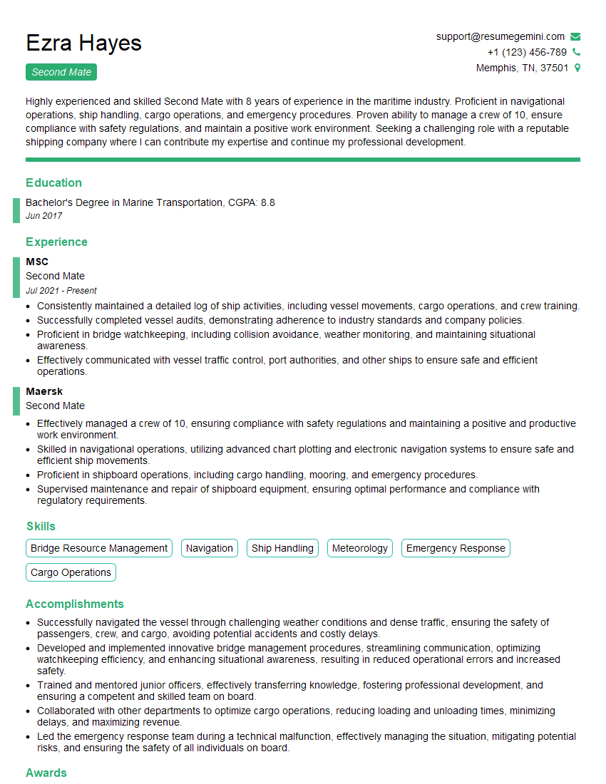
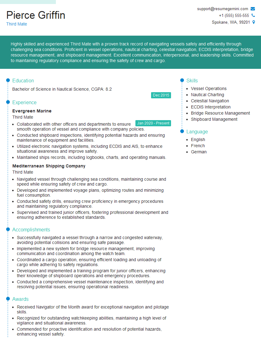
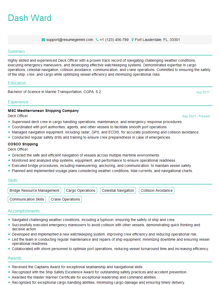
Mastering Navigation and Chartwork is crucial for a successful career in maritime professions, opening doors to diverse and rewarding opportunities. A strong resume is your key to unlocking these opportunities. Make sure your resume is ATS-friendly to ensure it gets noticed by potential employers. We highly recommend using ResumeGemini to build a professional and impactful resume that showcases your skills and experience effectively. ResumeGemini provides examples of resumes tailored to Navigation and Chartwork to help you get started. Invest time in crafting a compelling resume – it’s your first impression!
Explore more articles
Users Rating of Our Blogs
Share Your Experience
We value your feedback! Please rate our content and share your thoughts (optional).
What Readers Say About Our Blog
Hi, I’m Jay, we have a few potential clients that are interested in your services, thought you might be a good fit. I’d love to talk about the details, when do you have time to talk?
Best,
Jay
Founder | CEO

