The thought of an interview can be nerve-wracking, but the right preparation can make all the difference. Explore this comprehensive guide to VFR Navigation interview questions and gain the confidence you need to showcase your abilities and secure the role.
Questions Asked in VFR Navigation Interview
Q 1. Explain the process of pre-flight planning using VFR charts.
Pre-flight planning using VFR charts is crucial for a safe and efficient flight. It involves meticulously studying the route, considering weather conditions, and identifying potential hazards. Think of it as creating a detailed roadmap for your journey in the sky.
The process typically begins by identifying your departure and destination airports on the sectional chart. Then, you’ll plot your route, selecting waypoints (like VORs, NDBs, or prominent landmarks) to guide your flight. You’ll carefully measure distances between waypoints using the chart’s scale, estimating flight time based on your aircraft’s speed and considering wind conditions. You’ll also check for restricted airspace (like military training areas or controlled airspace) and note any potential obstacles such as mountains or towers. Finally, you’ll check the weather forecast and NOTAMs (Notices to Airmen) to ensure safe flying conditions.
Example: Planning a flight from Airport A to Airport B. You’d identify both on the chart, plot the direct route, measure the distance (say, 100 nautical miles), and calculate the estimated flight time (e.g., 1 hour at 100 knots). Then, you’d check for any mountains along your route or restricted airspace that you need to avoid. This information is then recorded in a flight plan, which is reviewed before departure.
Q 2. Describe the various types of VFR charts and their uses.
Several types of VFR charts cater to different needs. The most common are Sectional Charts, Terminal Area Charts (TACs), and IFR Low Altitude Enroute Charts.
- Sectional Charts: These are large-scale charts covering a relatively large geographic area, ideal for planning cross-country flights. They show terrain features, airports, navigation aids, and airspace designations. They are perfect for general VFR navigation.
- Terminal Area Charts (TACs): These charts provide more detail than sectional charts, focusing on a specific terminal area around a major airport. They are vital for navigating around busy airports, showing approach procedures, runways, and other crucial information for landing and departing.
- IFR Low Altitude Enroute Charts: While primarily designed for instrument flight rules (IFR), these charts offer detailed information about airways, navigation aids, and airspace, which can be helpful for VFR pilots, especially in mountainous terrain or areas with complex airspace.
The choice of chart depends on the flight’s complexity and the area you’ll be flying over. For short hops, a TAC might suffice. For longer cross-country flights, a sectional chart, and potentially even an IFR chart for a more comprehensive view, is recommended.
Q 3. How do you determine magnetic variation and deviation?
Magnetic variation and deviation are corrections applied to a compass reading to obtain true north. They represent the difference between magnetic north and true north.
- Magnetic Variation: This is the angular difference between magnetic north (the direction a compass needle points) and true north (the geographic North Pole). It varies with location and is shown on charts as isogonic lines (lines of equal variation).
- Deviation: This is the error introduced by the magnetic field of the aircraft itself affecting the compass needle. It varies depending on the aircraft’s heading and the presence of magnetic materials onboard (like engines or metallic structures).
Determining Variation: Look at the isogonic lines on your sectional chart. Find your location and read the variation indicated. It’ll be expressed in degrees East or West of true north.
Determining Deviation: Deviation is determined by conducting a compass swing. This involves aligning the aircraft along several headings and comparing compass readings to a known true heading (obtained using a known reference point and magnetic variation). The deviation at each heading is then recorded in a deviation card.
Q 4. Explain the concept of magnetic heading, true heading, and compass heading.
These terms describe different headings, all related to the direction of your aircraft:
- True Heading (TH): The direction of the aircraft measured clockwise from true north. This is the most accurate heading.
- Magnetic Heading (MH): The direction of the aircraft measured clockwise from magnetic north. This is what your compass directly indicates before correction for deviation.
- Compass Heading (CH): The reading directly from your aircraft’s magnetic compass. This is affected by both variation and deviation.
The relationships are: TH = MH ± Variation; MH = CH ± Deviation. The signs (±) depend on whether the variation or deviation is East or West. Remember, East is Least, West is Best (when adding/subtracting to magnetic heading).
Example: If your compass heading is 350°, your deviation is 2° West, and the variation is 5° East, your magnetic heading would be 350° + 2° = 352°, and your true heading would be 352° – 5° = 347°.
Q 5. Describe different methods for determining your position during a VFR flight.
Determining your position during a VFR flight involves various methods, combining visual cues and navigational aids:
- Using VFR Charts and Landmarks: This is the most basic method, identifying your position by recognizing landmarks visible on the ground and comparing them to your chart.
- Navigation Aids (VOR, NDB): These provide bearing information, helping you determine your position relative to the aid. Using multiple aids simultaneously is more accurate (triangulation).
- GPS (Global Positioning System): This is now a standard method, offering high precision positioning data.
- Celestial Navigation (for experienced pilots): This involves using the position of stars and other celestial bodies to determine latitude and longitude. Though less common now due to GPS, it’s an essential skill in emergency situations.
A combination of these methods is often used for redundancy and increased accuracy. For example, a pilot might use landmarks to verify their GPS position or use VOR bearings to improve position estimation during challenging visibility conditions.
Q 6. How do you use pilotage and dead reckoning in VFR navigation?
Pilotage and dead reckoning are two fundamental navigation techniques in VFR flight, often used together.
- Pilotage: This relies on visual observation of landmarks, using charts and maps to identify your position and navigate towards your destination. Think of it like driving using a road map and observing street signs.
- Dead Reckoning (DR): This is a method of estimating your position based on your known starting point, course, speed, and elapsed time. It doesn’t rely on external references like landmarks or navigation aids. It’s like estimating your arrival time based on your speed and distance.
Using them together: A pilot might start with dead reckoning to estimate their position, then use pilotage to confirm their location by identifying landmarks. Dead reckoning helps guide you between checkpoints, while pilotage provides constant verification of your progress.
Example: You’re flying from point A to point B. You use dead reckoning to calculate your estimated time of arrival and distance. Along the way, you identify landmarks like rivers or towns that match your chart, confirming your dead reckoning and helping you make corrections if needed.
Q 7. What are the limitations of using only dead reckoning?
Dead reckoning, while useful, has significant limitations:
- Accuracy is dependent on consistent speed and heading: Any changes in wind, aircraft performance or unintentional changes in heading will introduce errors that accumulate over time.
- Vulnerable to external factors: Wind, unexpected currents, or even pilot errors can significantly impact the accuracy of dead reckoning.
- Not a standalone method: Dead reckoning should never be solely relied upon. It’s crucial to cross-reference with pilotage or other navigational tools (GPS, VOR, NDB) to verify your position and prevent significant deviations.
In essence, dead reckoning provides an estimated position; only by combining it with other methods can you ensure accurate and safe navigation.
Example: An unexpected headwind can cause a significant drift from your planned track if only using dead reckoning. This can lead to early fuel exhaustion or even lead you into unexpected obstacles or restricted airspace. Regularly verifying with pilotage, GPS, or other navigation systems are essential to mitigate this risk.
Q 8. Explain the concept of wind correction angle and how to calculate it.
The wind correction angle (WCA) is the angle between your desired heading and the heading you need to fly to compensate for wind, ensuring you reach your destination. Imagine you’re trying to sail a boat directly across a river – you can’t point the boat straight across; you need to angle it upstream to counteract the river’s current. The WCA is that angle.
Calculating WCA precisely requires a flight computer or an aviation-specific app, but a simplified estimation can be done using a diagram or vector addition. You’ll need your planned airspeed (TAS), the wind speed, and the wind direction. Let’s illustrate with an example:
- Example: Your TAS is 100 knots, and you have a 20-knot headwind (wind blowing directly against your direction). To maintain your planned ground track, you’d need to point your aircraft slightly into the wind. The precise calculation involves trigonometry, but a general rule of thumb is to expect a WCA roughly equal to the ratio of wind speed to airspeed (20 knots / 100 knots = 0.2 radians, or about 11.5 degrees). You would then adjust your heading into the wind by approximately 11.5 degrees.
Note that this is a simplified explanation. Actual WCA calculations will be more complex for crosswinds and tailwinds. Using a proper flight computer or an app is strongly recommended for accurate calculations.
Q 9. How do you determine your groundspeed?
Groundspeed is your aircraft’s speed relative to the ground. It’s different from airspeed (speed relative to the air) because wind affects your movement over the ground. To determine your groundspeed, you need to consider both your airspeed and the wind.
There are several ways to determine groundspeed:
- Using a Flight Computer or App: This is the most accurate method. Input your airspeed, wind speed, and wind direction, and the computer will calculate your groundspeed and WCA.
- GPS Navigation Systems: Most modern GPS systems display groundspeed directly.
- Estimated Groundspeed through Time and Distance: If you know the distance between two points and the time taken to travel between them, you can calculate your average groundspeed (Distance / Time = Speed).
For example, if you cover 100 nautical miles in one hour, your groundspeed is 100 knots. However, this method only gives an average; your instantaneous groundspeed might vary throughout the flight due to changing wind conditions.
Q 10. What are the various sources of weather information available to a VFR pilot?
VFR pilots have access to a variety of weather information sources, crucial for safe flight planning and execution. These include:
- Automated Weather Broadcasts (AWOS/ASOS): These automated systems provide continuous weather updates from airports, including wind, temperature, visibility, and altimeter settings.
- Flight Service Stations (FSS): These provide pilot briefings, weather forecasts, and other flight-related information. They are a critical resource for planning and in-flight decisions.
- Weather Websites and Apps: Many websites and mobile apps provide detailed weather information, including radar imagery, satellite pictures, and forecasts.
- Weather briefings are a pilot’s responsibility: The flight crew is responsible for obtaining and properly interpreting their weather briefings before they take off.
- In-flight weather observations: The pilot makes in-flight weather observations. Looking at the clouds, sky, etc. and using their observations to judge the weather conditions.
- Other pilots: This is generally useful, other pilots are able to share their observations and make recommendations.
It’s essential to utilize multiple sources to obtain a comprehensive and reliable picture of the weather conditions.
Q 11. How do you interpret weather reports and forecasts relevant to VFR flight?
Interpreting weather reports for VFR flights requires understanding key elements like:
- Visibility: Reported in miles or meters, this indicates how far you can see. VFR minimums require specific visibility levels depending on the airspace and flight rules.
- Cloud Cover: Described using terms like scattered, broken, overcast, and the height of the cloud base (e.g., 1500 feet overcast). Cloud layers and their heights are vital for determining if VFR flight is safe.
- Wind: Wind speed and direction are given in knots and degrees (e.g., 20 knots from 270 degrees). This information is essential for flight planning and wind correction.
- Temperature: Useful for assessing icing potential and overall weather conditions.
- Precipitation: Rain, snow, or other forms of precipitation will impact visibility and potentially lead to icing.
- Altimeter Setting: This is the atmospheric pressure at sea level, crucial for accurate altitude readings.
Example: A weather report stating ‘Visibility 3 miles, scattered clouds at 3000 feet, wind 15 knots from 360 degrees’ tells you that visibility is reduced and there’s a risk of wind. You should evaluate if these conditions allow safe VFR flight.
Always check forecasts for the entire flight route, not just the departure and arrival points. Be aware of potential changes in weather along your planned flight path.
Q 12. What are the visual flight rules (VFR) weather minimums?
VFR weather minimums vary depending on the airspace class and the type of operation (day or night). These minimums are legally mandated and must be met for legal VFR flight. Exceeding these minimums is a serious violation. Failing to meet them can result in a pilot facing serious repercussions and potential harm.
Generally, VFR weather minimums include requirements for:
- Visibility: This is usually expressed in miles (e.g., 3 miles visibility is common).
- Cloud clearance: This specifies the minimum distance from clouds, both vertically and horizontally (e.g., clear of clouds with 1000 ft above, 500 ft below, and 2000 ft horizontal). Note that these values vary greatly depending on the class of airspace the aircraft is operating in.
It’s crucial to consult the appropriate regulations (e.g., FAR Part 91 in the United States) and sectional charts for the precise VFR minimums applicable to your flight. These minimums are not universal; they depend on the airspace class and conditions (day VFR versus night VFR).
Q 13. What actions should you take if you encounter unexpected weather conditions during a VFR flight?
Encountering unexpected weather during a VFR flight demands immediate and decisive action. The priority is always safety.
Actions to take:
- Assess the Situation: Quickly determine the severity and type of unexpected weather (e.g., reduced visibility, icing conditions, turbulence). The pilot will use the information that they obtained in their pre-flight briefings along with the information they collected while inflight.
- Adjust Flight Plan: If the weather allows, alter your route to avoid the adverse conditions. This might involve rerouting around a thunderstorm, descending to a lower altitude with better visibility, or diverting to an alternate airport.
- Contact ATC: Notify Air Traffic Control (ATC) of your situation and intentions. This is critical, particularly in controlled airspace. This will be the most practical route of action to take.
- Land at the Nearest Suitable Airport: If the weather deteriorates significantly and it becomes unsafe to continue, land at the nearest airport with suitable conditions. Prioritize safety over reaching your intended destination.
- Emergency Procedures: In severe situations, initiate emergency procedures as necessary. This could involve deploying emergency equipment or using distress signals.
Remember, the decision to continue or divert a flight is the pilot’s responsibility. If you’re unsure, it’s always better to err on the side of caution and prioritize safety.
Q 14. Explain the concept of airspace classifications and their associated regulations.
Airspace classifications define different areas with varying regulations and requirements for air traffic control and pilot operations. Understanding these classifications is crucial for safe and legal VFR flight.
Key airspace classifications include:
- Class A: From 18,000 feet MSL up to and including FL600. IFR (Instrument Flight Rules) only; requires instrument ratings, clearance from ATC, and constant two-way radio communication. VFR flight is not permitted in this airspace.
- Class B: Usually surrounding major airports. Requires two-way radio communication with ATC and clearance to enter.
- Class C: Similar to Class B but with less stringent requirements. This airspace also requires two-way radio communication with ATC and clearance to enter.
- Class D: Surrounding airports with operational control towers. Requires two-way radio communication with the tower during operation within the airspace.
- Class E: Generally extends from 1,200 feet AGL up to 18,000 feet MSL. Regulations depend on altitude and proximity to airports.
- Class G: Uncontrolled airspace. No specific ATC communication requirements but still subject to VFR regulations.
Each airspace class has specific rules about what altitudes you can fly at and what type of radio communication is required. The most crucial is to know the airspace classification you’re operating in and adhere to its associated rules. Pilots must consult aeronautical charts to determine the airspace classifications in their flight path.
Q 15. How do you identify different types of airspace on a VFR chart?
VFR charts depict airspace classifications using color-coding and specific symbology. Understanding these visual cues is crucial for safe flight. Class A airspace, for instance, is depicted in magenta and requires IFR (Instrument Flight Rules) operation. Class B, shown in blue, is high-density airspace surrounding major airports requiring two-way radio communication and specific clearances before entry. Class C, in light blue, is similar to Class B but with less stringent requirements. Class D, in dark blue, surrounds smaller airports and requires two-way communication within the airspace. Class E airspace, usually depicted in a light blue/pink gradient, extends from the surface at certain locations and upwards. Class G airspace, typically white or unmarked, represents uncontrolled airspace. Each class has different requirements regarding visibility, cloud clearances, and radio communication.
Think of it like a map of a city – different colors indicate different zones with varying regulations. Class A is the freeway with strict rules, Class G is like a quiet residential street. Carefully studying the legend and color coding on your chart is paramount.
Career Expert Tips:
- Ace those interviews! Prepare effectively by reviewing the Top 50 Most Common Interview Questions on ResumeGemini.
- Navigate your job search with confidence! Explore a wide range of Career Tips on ResumeGemini. Learn about common challenges and recommendations to overcome them.
- Craft the perfect resume! Master the Art of Resume Writing with ResumeGemini’s guide. Showcase your unique qualifications and achievements effectively.
- Don’t miss out on holiday savings! Build your dream resume with ResumeGemini’s ATS optimized templates.
Q 16. Describe the procedures for entering and exiting controlled airspace.
Entering controlled airspace requires careful planning and communication. Before entering, you must obtain a clearance from ATC unless otherwise authorized. This typically involves contacting the appropriate frequency well in advance of reaching the airspace boundary and requesting entry, stating your intentions (e.g., ‘Requesting entry into Class D airspace at [airport name], flight [your identifier], heading [your heading]’). Exiting controlled airspace also requires proper communication, often simply stating your intentions to ATC (‘Leaving Class D airspace at [airport name], flight [your identifier]’). Failure to do so is a serious safety violation.
Imagine entering a busy highway; you wouldn’t simply merge without signaling and checking traffic. Entering controlled airspace is similar: you need to announce your presence and receive authorization to ensure the safety of all other aircraft.
Q 17. What are the responsibilities of a pilot regarding communication with Air Traffic Control (ATC)?
A pilot’s responsibility regarding communication with ATC is paramount to safety. This includes promptly responding to ATC instructions and advisories, accurately reporting your position and intentions, and maintaining continuous communication when required. You are obligated to follow all instructions given by ATC and immediately report any issues or changes in flight plans. Pilots must use clear and concise language, avoiding ambiguity, and be aware of radio frequencies and communication procedures specific to the airspace.
Think of ATC as traffic control on a busy road system; clear and prompt communication ensures the smooth and safe flow of traffic. A failure to communicate effectively can lead to dangerous situations.
Q 18. How do you use radio communication effectively during a VFR flight?
Effective radio communication hinges on clarity, brevity, and adherence to standard phraseology. Always announce your intentions clearly, including your aircraft identifier, location, altitude, and request. For example, ‘San Diego Tower, Cessna 12345, 5 miles south, 3000 feet, requesting downwind for runway 27’. Listen carefully to ATC transmissions to avoid interference, and use proper radio etiquette. Speak slowly and clearly, using standard terminology to avoid misunderstanding. It’s crucial to accurately report your position regularly, especially near airports or other aircraft.
Consider this like a professional meeting: well-prepared, clear, and concise communication ensures efficiency and prevents misunderstandings. Proper radio technique ensures safety and efficiency in flight.
Q 19. Describe emergency procedures in case of VFR navigation issues.
In case of VFR navigation issues, prioritize safety and follow established emergency procedures. First, assess the situation and determine the nature of the problem. If possible, use available navigational aids to re-establish your position. Declare an emergency on the radio using the phrase ‘Mayday, Mayday, Mayday,’ specifying your aircraft identifier, location, nature of the emergency, and intentions. If the issue is minor, try to resolve it independently, but if the situation deteriorates, land at the nearest suitable airport or open area.
Similar to car trouble, a systematic approach is crucial. Assess, communicate, and take appropriate action based on severity. The earlier the emergency is declared, the more time available for assistance.
Q 20. What are the different types of navigational aids used in VFR flights?
VFR navigation aids include VORs (VHF Omnidirectional Range), which provide bearing information; NDBs (Non-Directional Beacons), which transmit a signal allowing pilots to determine their proximity; and airport beacons, which provide visual identification of the airport. Many pilots also utilize GPS (Global Positioning System) receivers, which provide accurate positional information. VORs and NDBs were traditionally crucial and are still used, while GPS, now ubiquitous, has added a significant layer of navigational capability.
Think of these as different tools in your toolbox: each serves a specific purpose and can be combined for optimal results.
Q 21. How do you use a sectional chart effectively?
Sectional charts are fundamental tools for VFR navigation. Effective use begins with understanding the chart’s symbology and legend. Locate your current position using prominent landmarks or navigational aids. Plan your route carefully, considering airspace restrictions and obstacles. Check for relevant frequencies for ATC communications. During flight, constantly cross-reference your position with landmarks and navigational aids, ensuring that your flight path aligns with your planned route. Always remain vigilant, checking the chart often and maintaining awareness of your surroundings.
Imagine the sectional chart as a map; careful planning and constant cross-referencing ensure you arrive safely at your destination. Understanding the map’s language is key.
Q 22. Explain the different symbols and markings found on VFR charts.
VFR charts are packed with symbols and markings that provide critical information for safe flight. Understanding these is fundamental to VFR navigation. Let’s break down some key elements:
Airports: Represented by various symbols indicating the type of airport (e.g., a large square for a major airport, a smaller square for a smaller airfield). The runway lengths and orientations are typically shown, along with frequencies for the tower and other services.
Navigation Aids (NAVAIDS): VORs (VHF Omnidirectional Range), NDBs (Non-Directional Beacons), and other navigational aids are clearly marked with their identifier and frequency. The symbol indicates the type of NAVAID and its range.
Obstacles: Mountains, towers, and other obstructions to flight are shown with their height above ground level (AGL) and mean sea level (MSL). Understanding these is crucial for maintaining safe altitudes.
Terrain Elevation: Contour lines indicate changes in elevation, providing a visual representation of the landscape. The closer the contour lines are together, the steeper the terrain.
Airspace: Controlled airspace (Class A, B, C, D, E, G) is clearly delineated, indicating altitude restrictions and communication requirements. Understanding airspace classifications is vital for safe and legal flight.
Reporting Points: These are designated locations for pilots to report their position to air traffic control (ATC) during flight. They are usually marked on the chart to streamline communications.
Magnetic Variation: This is the angular difference between true north and magnetic north, essential for accurate compass navigation. The variation is usually shown in the chart’s legend and must be accounted for in heading calculations.
Charts also contain legends and other information, so always study the chart’s key thoroughly before flight. Practicing chart reading and familiarizing yourself with symbols is essential for safe VFR flight.
Q 23. How do you calculate fuel requirements for a VFR flight?
Calculating fuel requirements for a VFR flight is crucial for safety. It’s not simply about the distance; several factors need consideration:
Flight Distance: Measure the distance on the chart between your departure and destination airports. This is often done using a flight computer or similar tool.
Fuel Consumption Rate: Determine your aircraft’s fuel consumption rate in gallons per hour (GPH) or liters per hour (LPH). This information is found in your aircraft’s Pilot Operating Handbook (POH).
Estimated Time En Route (ETE): Calculate the estimated time en route based on your cruise speed and the flight distance.
ETE = Distance / SpeedFuel Reserve: Add a significant fuel reserve, usually 30 minutes to an hour of flight time, to account for unexpected delays or diversions. This is a critical safety margin.
Contingency Fuel: Include additional fuel for potential diversions or unforeseen circumstances, such as headwinds or engine issues. The amount depends on the flight complexity and weather conditions. This is often 45 minutes to an hour.
Taxi and Climb Fuel: Account for the fuel burned during taxi and climb to your cruising altitude.
Example: Let’s say your flight distance is 100 nautical miles, your cruise speed is 100 knots (nautical miles per hour), your fuel consumption rate is 8 GPH, and you need a 30-minute reserve.
ETE = 100 nm / 100 kts = 1 hour
Fuel for flight = 1 hour * 8 GPH = 8 gallons
Reserve fuel = 0.5 hours * 8 GPH = 4 gallons
Total fuel needed = 8 gallons + 4 gallons (approx.) = 12 gallons. Always round up to ensure sufficient fuel is on board. Always add extra for taxi and climb to be safe.
It’s always better to have more fuel than less. Regularly check your fuel gauges during the flight.
Q 24. How do you plan for potential emergencies during a VFR flight?
Planning for emergencies is a cornerstone of safe VFR flight. A thorough pre-flight plan should include:
Alternate Airfields: Identify at least one suitable alternate airfield in case of weather or mechanical issues. Consider factors like runway length, facilities, and weather forecasts for the alternate.
Weather Briefing: Obtain a thorough weather briefing before departure and monitor weather conditions throughout the flight. Be aware of potential hazards such as thunderstorms, low ceilings, and reduced visibility.
Emergency Procedures: Review emergency procedures for your aircraft, including engine failure, loss of navigation, and other potential emergencies. Knowing what to do in an emergency is crucial.
Emergency Contacts: Have a list of emergency contacts readily available, including air traffic control (ATC), emergency services, and maintenance personnel.
Survival Kit: Carry an appropriate survival kit, especially for longer flights or flights over remote areas. This might include first-aid supplies, a flashlight, food, and water.
Flight Following: Consider using flight following services, particularly for flights over unfamiliar terrain or in challenging weather conditions. This helps ATC monitor your flight and assist in case of emergencies.
A comprehensive emergency plan, coupled with regular review and practice, significantly enhances safety.
Q 25. Describe your experience with using various navigation instruments (e.g., GPS, altimeter, compass).
My experience with various navigation instruments is extensive. I’m proficient in using:
GPS: I regularly use GPS for navigation, understanding its limitations, such as the potential for satellite outages or signal interference. I always cross-reference GPS data with other navigational aids to ensure accuracy.
Altimeter: The altimeter is critical for maintaining safe altitudes and avoiding terrain. I’m acutely aware of the differences between indicated altitude, pressure altitude, and true altitude, and understand how to correct for pressure settings and temperature.
Compass: While less frequently used with modern GPS technology, I understand the principles of compass navigation and how to compensate for magnetic variation and deviation. I understand its limitations and potential sources of error.
VFR Charts: I’m highly proficient in reading and interpreting VFR charts, using them to plan routes, identify navigation aids, and assess terrain features.
I always use a combination of instruments for redundancy and to ensure the highest level of navigational accuracy and safety. This is a key aspect of safe flight practices.
Q 26. What are the safety procedures you follow during different phases of VFR flight?
Safety procedures during different phases of VFR flight are paramount:
Preflight: This includes a thorough preflight inspection of the aircraft, reviewing weather conditions, filing a flight plan (if required), and performing a comprehensive risk assessment.
Taxi and Takeoff: Maintain situational awareness, follow taxiway instructions, and conduct a thorough pre-takeoff checklist. Takeoff should be executed in accordance with aircraft performance data and prevailing weather conditions.
Climb and Cruise: Maintain a safe altitude, monitor engine instruments, and navigate to your destination using appropriate navigational aids. Regularly communicate with air traffic control as required. During cruise, keep a look-out for other traffic.
Descent and Approach: Begin descent in accordance with regulations and maintain a safe glide path. Monitor the altimeter closely during approach and landing. Adhere to airport traffic patterns and runway markings.
Landing and Taxi: Execute a safe landing, follow runway markings, and taxi back to the ramp following airport procedures. Once parked, secure the aircraft, and complete the post-flight checklist.
Following these procedures, coupled with good judgment and situational awareness, greatly reduces the risk of accidents.
Q 27. Explain the concept of risk management in VFR flight planning and execution.
Risk management in VFR flight is a proactive process, not just a reactive one. It involves identifying, assessing, and mitigating potential hazards before, during, and after flight. This includes:
Pre-flight Planning: Carefully evaluate weather conditions, assess the aircraft’s suitability for the flight, and identify potential hazards along the route. This might include terrain, airspace restrictions, or other traffic.
Risk Assessment: Determine the likelihood and severity of potential hazards. This helps prioritize risk mitigation strategies.
Mitigation Strategies: Develop and implement strategies to reduce or eliminate identified risks. This could involve choosing an alternate route, delaying the flight, or canceling it altogether.
Go/No-Go Decision: Make a well-informed “go/no-go” decision based on the risk assessment and mitigation strategies. Safety should always be the top priority.
Post-flight Review: After each flight, review the flight’s events, identifying any areas where risk management could be improved. Learn from both successful and challenging situations.
A structured approach to risk management minimizes hazards and promotes safer VFR operations.
Q 28. Describe a situation where you had to improvise during a VFR flight due to unexpected circumstances.
During a cross-country VFR flight, I encountered unexpectedly low ceilings and reduced visibility due to an approaching weather front. My pre-flight briefing hadn’t fully anticipated the rapid deterioration of the weather. My planned route took me near several high hills.
My immediate action was to assess the situation. Using my GPS and VFR charts, I identified an alternate airport closer than my original destination with a longer runway, which is safer in reduced visibility. I contacted ATC and informed them of the change of plans. The shorter flight to this alternate airport meant that I could safely navigate around higher terrain even with reduced visibility.
I executed a safe descent and landing at the alternate, prioritizing safety over my original schedule. After landing, I waited for the weather to clear before continuing to my intended destination. This experience reinforced the importance of continuous weather monitoring, having contingency plans, and making timely decisions to prioritize safety.
Key Topics to Learn for VFR Navigation Interview
- Charts and Publications: Understanding sectional charts, airport diagrams, and other aeronautical publications. Practical application: Interpreting chart symbols to plan a flight, identify landmarks, and determine appropriate altitudes.
- Flight Planning: Developing pre-flight plans including route selection, fuel calculations, and contingency planning. Practical application: Demonstrating the ability to create a safe and efficient flight plan based on weather conditions and aircraft capabilities.
- Navigation Techniques: Mastering pilotage, dead reckoning, and the use of GPS for navigation. Practical application: Explaining the strengths and weaknesses of each method and how to combine them for optimal navigation.
- Airspace and Regulations: Understanding various airspace classes, their associated restrictions, and relevant regulations. Practical application: Identifying appropriate airspace for a given flight and understanding the communication procedures required.
- Weather Interpretation: Analyzing weather reports and forecasts to make informed decisions about flight safety. Practical application: Describing how weather conditions impact flight planning and navigation.
- Emergency Procedures: Understanding and explaining procedures for handling various in-flight emergencies related to navigation. Practical application: Demonstrating knowledge of emergency procedures and how to effectively communicate with Air Traffic Control.
- Communication Procedures: Proficiently communicating with Air Traffic Control using standard phraseology. Practical application: Demonstrating clear and concise communication skills relevant to VFR flight.
Next Steps
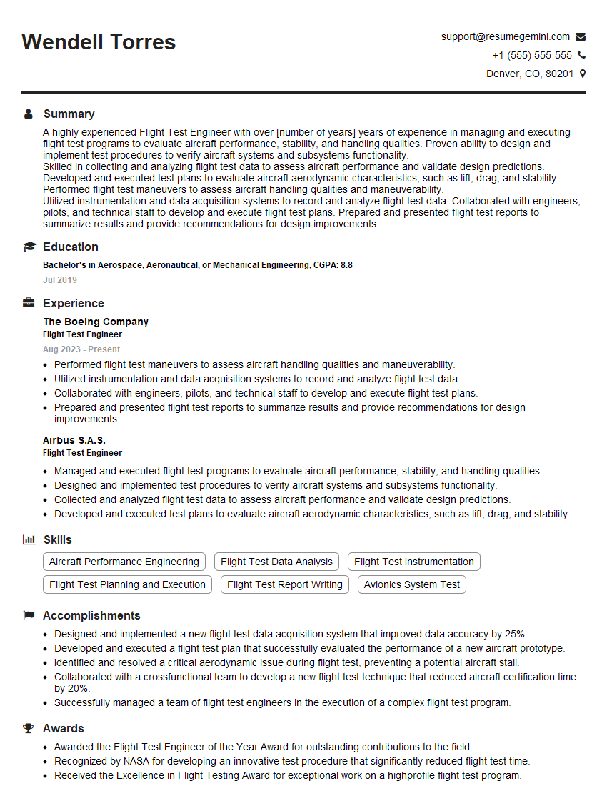
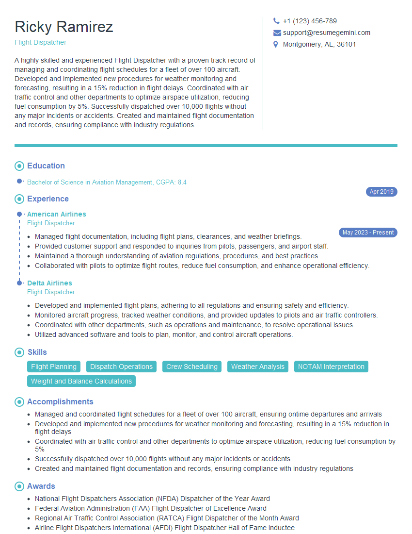
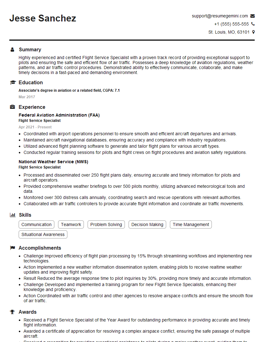
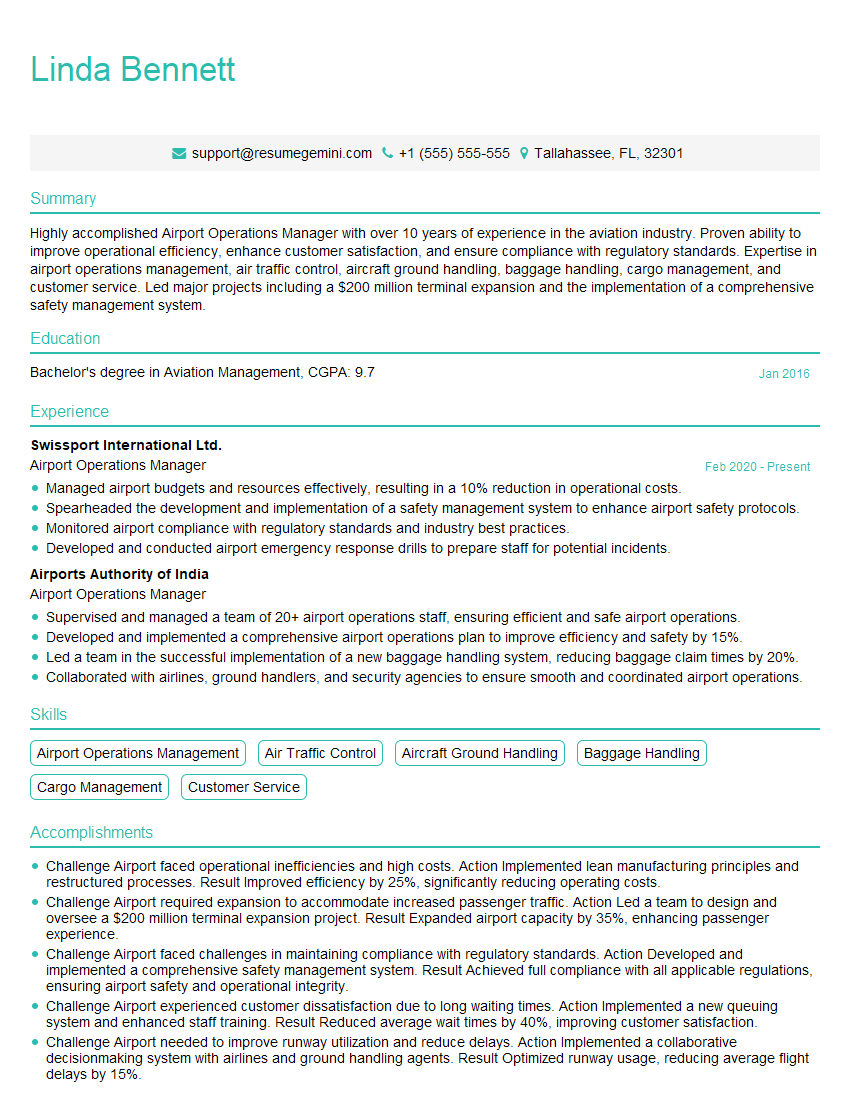
Mastering VFR navigation is crucial for a successful career in aviation, opening doors to diverse roles and showcasing your commitment to safety and efficiency. To enhance your job prospects, it’s essential to create a resume that effectively highlights your skills and experience using an Applicant Tracking System (ATS)-friendly format. ResumeGemini is a trusted resource to help you build a professional and impactful resume. Examples of resumes tailored to VFR Navigation roles are provided to guide you through this process, helping you present your qualifications in the best possible light and land your dream aviation job.
Explore more articles
Users Rating of Our Blogs
Share Your Experience
We value your feedback! Please rate our content and share your thoughts (optional).
What Readers Say About Our Blog
There are no reviews yet. Be the first one to write one.
